
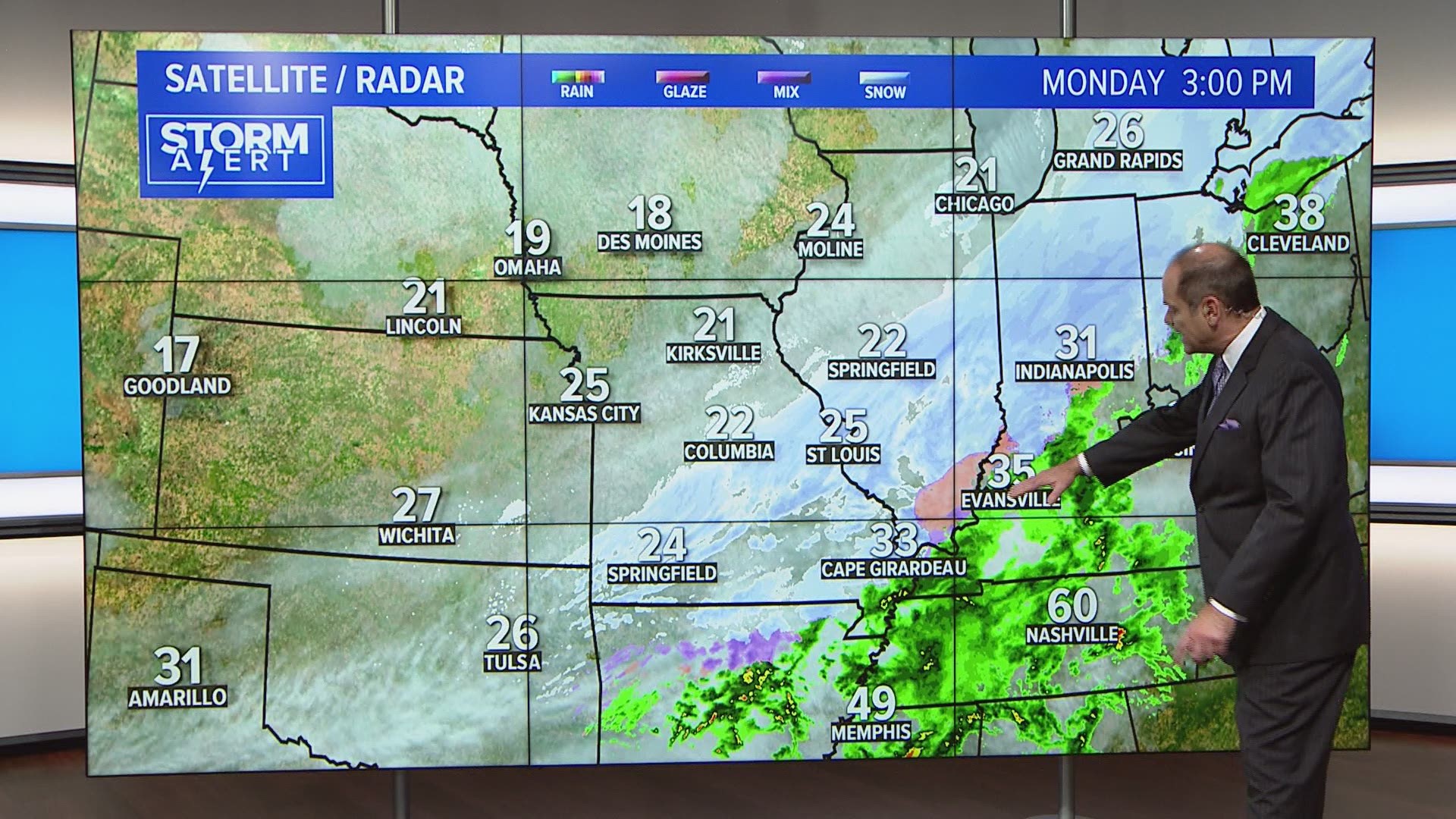
ST. LOUIS — Light snow will taper off during the early afternoon hours to just occasional snow showers and flurries into the early evening hours. Most areas will see less than an additional half-inch of accumulation.
With temperatures now below freezing, roads are slick and in some cases slushy, especially if not treated by road crews. Bridges are icy in many cases. Allow extra time for travel.
Check live traffic conditions at ksdk.com/traffic.
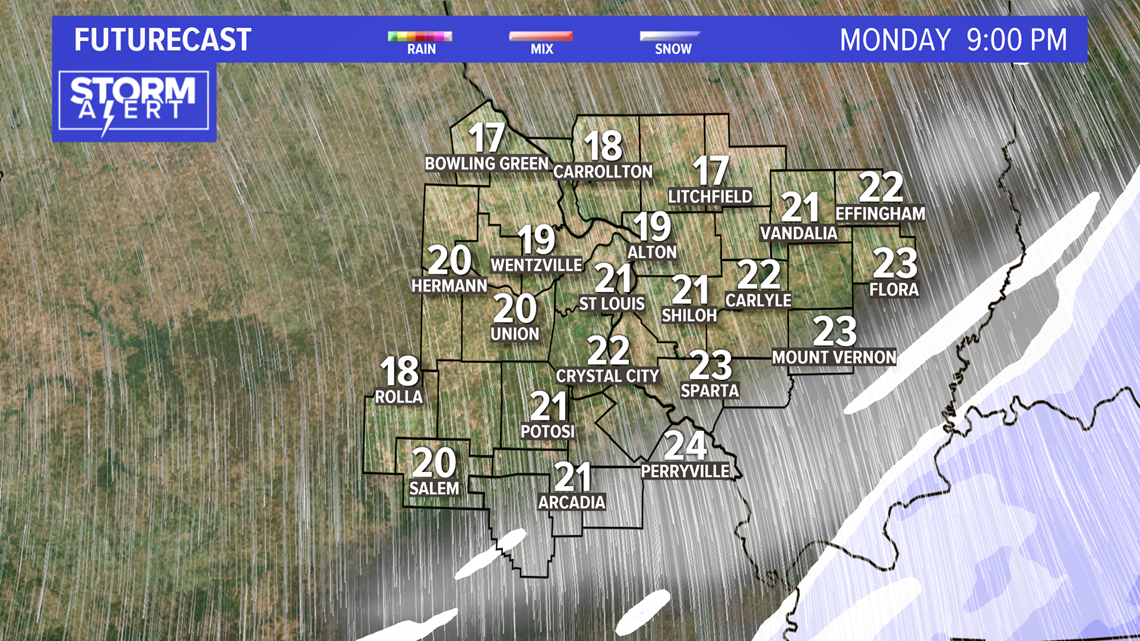
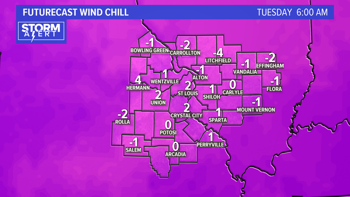
Temperatures will be in the low- to mid-20s by dinnertime. Most areas will have on to two inches of snow. Some a little more, others a little less. Expect gusty winds through the evening. Wind chills will drop from the teens into the single digits.
RELATED: Live interactive radar
Download the free 5 On Your Side app to get the latest watches and warnings and track conditions live with our interactive radar. Use the links below to download now.
5 On Your Side weather app
iPhone | Google Play
5 On Your Side news app
iPhone | Google Play
It'll be dangerously cold by early Tuesday morning, with lows in the upper single digits to lower teens. Our record low is 12° for Nov. 12th (Tuesday), a record set in 1911. With snow on the ground, we could reach or break that record.
Even though the winds won't be as strong Tuesday, early morning wind chills will likely be around, if not below, zero. Highs will only warm into the low and mid 20s with plenty of sunshine.
The remainder of the week will feature a slow warming trend with highs reaching the 40s heading into the weekend. Slim to no rain chances for the rest of the week.