A super last Saturday in February is coming to a bit of a breezy end but what a stellar day! Highs were in the mid-60s or about 15 degrees warmer than normal and we’ll stay warm tonight.
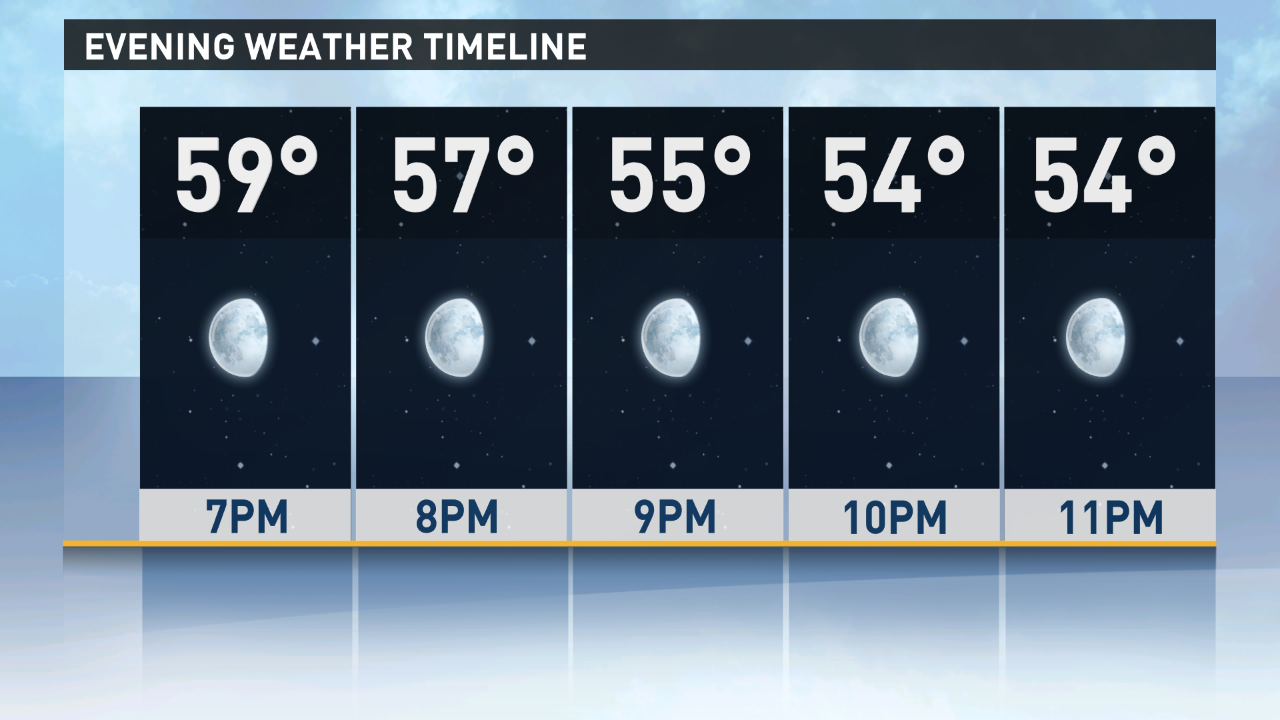
Winds will stay breezy and out of the south and southwest keeping temperatures from falling out of the 50s before midnight and lows from dropping much past the mid-40s with clear skies all the way.
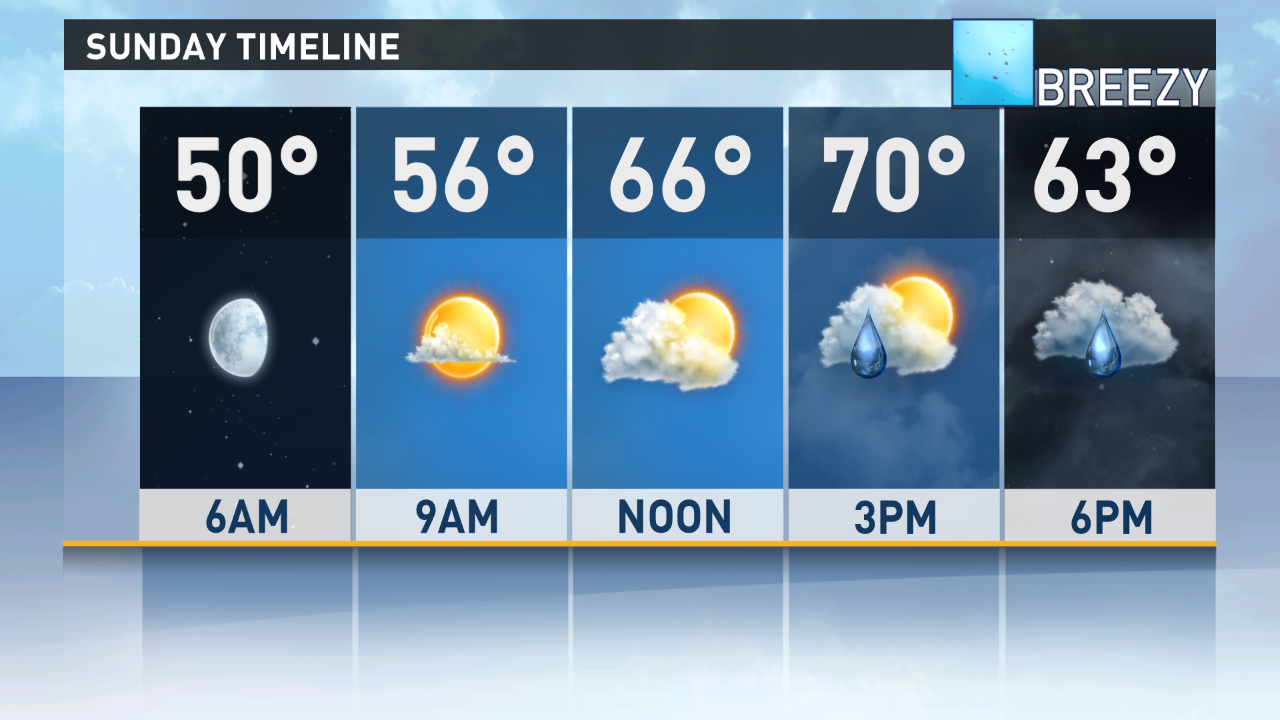
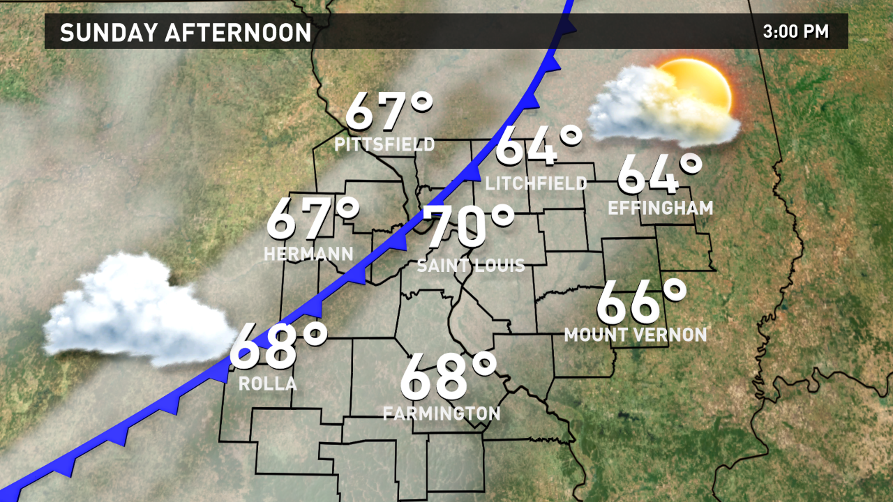
Sunday clouds will be moving in by midday and winds will be stronger and out of the southwest pushing temperatures to near 70. But a cool front slips though the region by early evening and as it arrives we may see a few sprinkles or showers from mid-afternoon to mid-evening.
Monday looks great with sun and highs in the low 60s but Tuesday we’ll likely see scattered showers in the morning when we have our warmest temperatures…low 50s. By late afternoon we’ll have cooled into the low 40s and Tuesday evening we may see a few snowflakes though, right now, no accumulation is expected.