
ST. LOUIS — For decades, the Great Rivers Greenway has expanded across the St. Louis region.
"A greenway is a public space connecting people and places," Great Rivers Greenway Communications Coordinator Anne Milford said. "... It's just a space where people can walk, ride a bike, run or use a wheelchair to get to where they want to go."
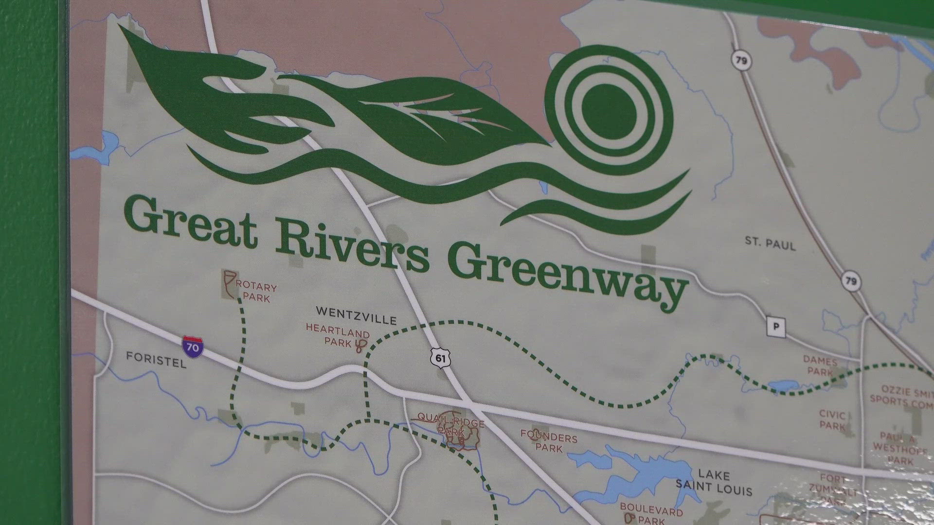
In 2000, a vote of the people created a sales tax to leave a legacy for future generations by connecting three counties with greenways. When complete, it will be a 600-mile network of greenways connecting St. Louis City, St. Louis County and St. Charles County, according to the Great Rivers Greenway website.
So far, the region offers 130-plus miles of paved greenways.
Here's a list of the greenways to visit this summer:
- Boschert Greenway
- 5.44-mile trail
- Links the Missouri River and the Katy Trail and goes through historic downtown St. Charles, through Fox Hill Park and up to New Town.
- Brickline Greenway
- 0.27-mile trail
- Connects Forest Park to the Gateway Arch and provides connections to Fairgrounds Park and Tower Grove Park.
- Busch Greenway
- 4.72-mile trail
- Connects the Katy Trail to the University of Missouri's Research Park to Weldon Spring and Busch Conservation areas, going by Francis Howell High School and Highway 94 in the process.
- Centennial Greenway (Forest Park to Washington University to Vernon)
- 1.35-mile trail
- Stretches from Skinker and Forsyth Boulevards in Forest Park, through the Washington University campus, along Kingsbury Avenue to the Loop Business District and north to Vernon Avenue.
- Centennial Greenway (Shaw Park to Olive)
- 2.48-mile trail
- Links together Clayton, University City, Ladue and Olivette. Stretches along Interstate 270 from Shaw Park to along Olive Boulevard, connecting you to the paved trails within Shaw Park and a wide sidewalk along Olive between McKnight and Price Road.
- Centennial Greenway (Katy Trail to Schaefer Park and Spencer Creek Trail)
- 3.88-mile trail
- Stretches from the Katy Trail near the Page Avenue extension to Schaefer Park and the Spencer Creek Trail. It also connects to the St. Charles County Heritage Museum and the paved Creve Coeur Connector trail that takes you across the Mississippi River and links up with the paved trails and other attractions in Creve Coeur County Park.
- Dardenne Greenway (Barathaven)
- 4.13-mile trail
- Parallels Dardenne Creek in St. Charles County.
- Dardenne Greenway (Legacy Park to Dardenne Park)
- 7.32-mile trail
- Winds along Dardenne Creek and links together hundreds of acres of parks, neighborhoods, communities, businesses and schools in St. Charles County.
- Deer Creek Greenway (Brentwood Park)
- 1.4-mile trail
- Lies entirely within the new 32-acre Brentwood Park, which includes two pavilions, water fountains, a 100-person amphitheater and a 2.7-acre destination playground.
- Deer Creek Greenway (Deer Creek Park to Lorraine Davis Park)
- 3.35-mile trail
- Nestled between Maplewood, Brentwood and Webster Groves, this trail parallels Deer Creek and links together parks, businesses and neighborhoods in the area surrounding Deer and Sandy Creeks.
- Fee Fee Greenway
- 2.74-mile trail
- Parallels Fee Fee Creek, extending from the Maryland Heights Recreation Complex and Aquaport to Creve Coeur Park.
- Gravois Greenway (Grant's Trail)
- 11.47-mile trail
- Meanders through seven municipalities and connects several parks, schools, neighborhoods, libraries, historic sites and athletic facilities. Extends from the Holmes and Leffingwell avenues in Kirkwood to the Rivers des Peres Greenway in St. Louis.
- Maline Greenway
- 1.97-mile trail
- Primarily in Bella Fontaine County Park. There's a storybook walk with different books featured each season. The book is displayed page-by-page on boards along the greenway.
- Meramec Greenway (George Winter Park to Unger Park and Emmenegger Park)
- 5.12-mile trail
- Stretches between Unger Park and George Winter Park. There's also a new walking and biking connection over the Meramec River that connects to Emmenegger Nature Park in Kirkwood.
- Meramec Greenway (Glencoe to Sherman Beach Park)
- 5.41-mile trail
- Stretches from Sherman Beach in southwest St. Louis County to Glenco, with beautiful views of limestone bluffs, wildflowers and the Meramec River.
- Meramec Greenway (Greentree Park to Arnold's Grove Park)
- 3.62-mile trail
- Walk or ride to three parks, go fishing or connect to existing trails. You can also play a round of golf at the Family Golf and Learning Center on Marshall Road.
- Meramec Greenway (Lions Park to Route 66 State Park)
- 1.5-mile trail
- Parallels Highway 44 near Eureka and includes several Eureka city parks and the Route 66 State Park.
- Meramec Greenway (Lower Meramec Park)
- 1.92-mile trail
- Lies along the Meramec River bottomlands, near the intersection of Meramec Bottom Road and Highway 55. It's a mixture of woodlands and open fields.
- Mississippi Greenway (Chouteau Riverfront to Old Chain of Rocks Bridge)
- 16.19-mile trail
- Stretches from downtown St. Louis, along the industrial riverfront to the historic Route 66 bridge. It's mostly flat and entirely sunny, with views of the riverfront and the Mississippi River.
- Mississippi Greenway (Cliff Cave Park)
- 6.69-mile trail
- Cliff Cave Park offers stunning views of the Mississippi River atop rocky bluffs.
- Mississippi Greenway (Jefferson Barracks Park to River City Casino)
- 1.74-mile trail
- Offers great views of the river as it stretches from Jefferson Barracks County Park north along the river.
- Missouri Greenway (Earth City Levee)
- 4.70-mile trail
- Parallels the Missouri River in Bridgeton and Earth City, offering views of the Missouri River and Historic St. Charles as it stretches between Highway 70 and Highway 370.
- Missouri Greenway (Monarch Chesterfield Levee)
- 11.09-mile trail
- Ample parking just behind The District. Across from the greenway from the District, there is a wetland to explore with natural path trails.
- Missouri Greenway (Truman Park)
- 0.36-mile trail
- Parallels the Missouri River near Saint Stanislaus Conservation Area and Koch Park.
- River des Peres Greenway
- 9.9-mile trail
- Wide open green space that wraps around River Des Peres as it winds its way to the Mississippi River. Has direct connections to the Gravois Greenway. It also connects Francis R. Slay Park at Canterbury, the Shrewsbury MetroLink station, the Holly Hills neighborhood and Carondelet and Lemay parks.
- St. Vincent Greenway (Forest Park to Trojan Park to Wellston MetroLink)
- 2.49-mile trail
- Stretches from Forest Park at Lindell to Trojan Park at Etzel and North Skinker Parkway and continues on Stephen Jones Avenue to Plymouth Avenue with a direct connection to the Wellston MetroLink Station.
- St. Vincent Greenway (Rock Road Transit Center to St. Vincent Park to UMSL)
- 4.46-mile trail
- Takes you from Rock Road Transit Center, along St. Charles Rock Road and directly into the shady grounds of St. Vincent County Park, across the hills of the University of Missouri campus to the North Hanley MetroLink Station.
- Sunset Greenway
- 3.9-mile trail
- Between Florissant and the Missouri River, this trail meanders through the St. Ferdinand Shrine, St. Ferdinand Park and Historic Old Town Florissant to the Missouri River in Sunset Park.
- Western Greenway
- 1.72-mile trail
- Meanders between the Meramec River and Missouri River in west St. Louis County, connecting the two greenways. Stretches across rolling hills, rocky limestone bluffs and thousands of acres of public open lands.