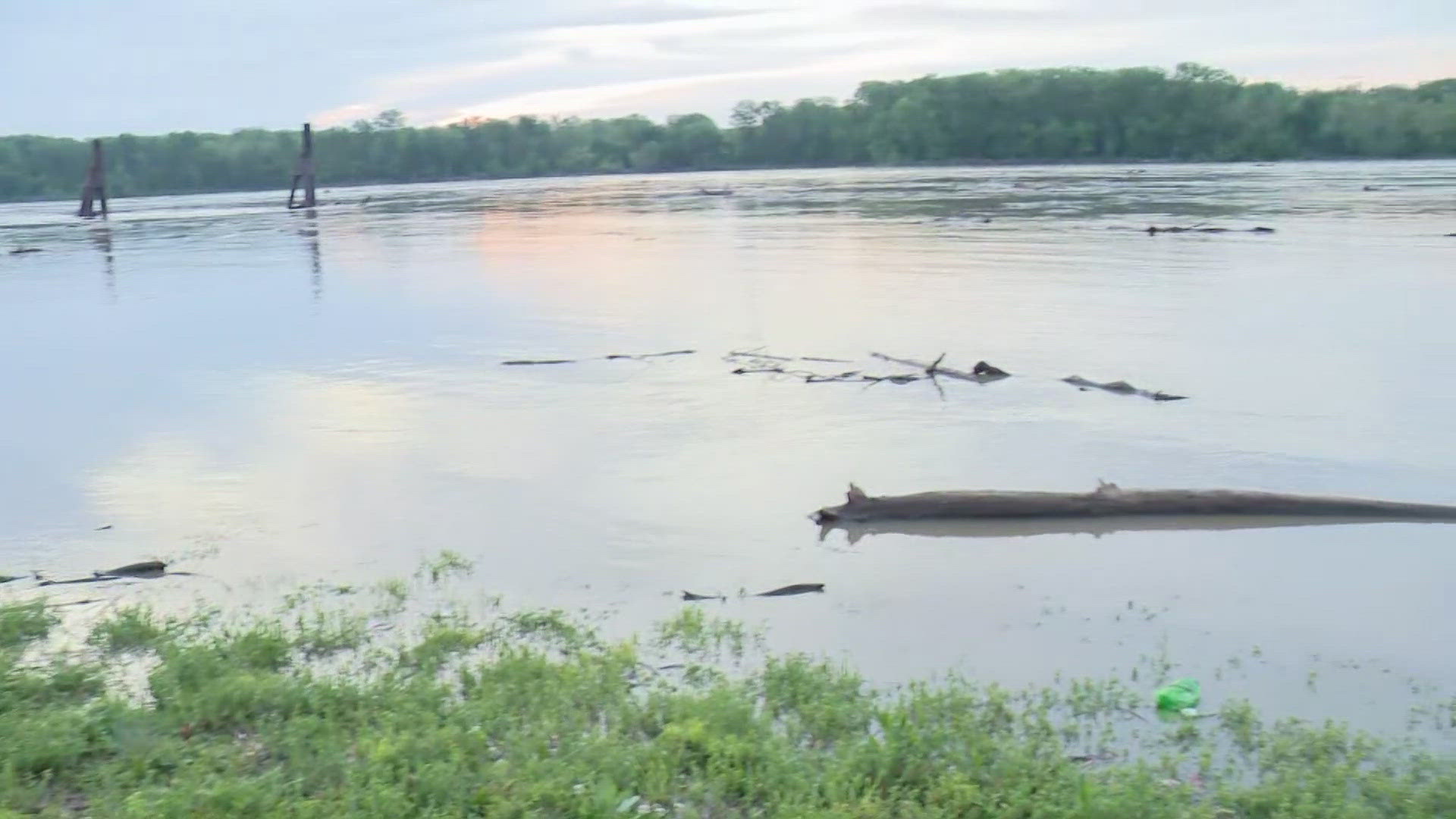
ST. LOUIS — The Missouri River is rising and projected crest this week.
The U.S. Army Corps of Engineers' St. Louis District said the area is about 5 feet below flood stage and will be monitoring rivers over the next 7 days.
"The flows on the Upper Mississippi (River) are falling off very rapidly, and the Missouri River is getting ready to crest," Chief of Water Control at the St. Louis District Joan Stemler said.
The Corps of Engineers said, though flooding concerns are typical for this time of year, it will be different because the ground is more saturated due to torrential rain throughout the month of April.
Even though the temperatures will be warm, you need to stay off waterways because of some strong undercurrents while there are flooding concerns, the Corps of Engineers said.
"The most challenging things are the smaller rivers, like the Meramac and the Cuivre rivers, and the tributaries into the main stream Mississippi because they're very flashy. So when you get 5 inches of rain on those rivers, it's much different than on the main stream Mississippi that can hold the the channel capacity which is much larger," Stemler said.
The Missouri River at Frontier Park in St. Charles is just shy of 16 miles from downtown St. Louis. That area of the river is in a minor flooding stage, meaning there's minimal to no property damage but could be a threat for the public.
5 On Your Side observed water rising just feet from the parking lot.
As you go west to Washington and Hermann, Missouri, flooding along the Missouri River is a little worse, but it's still considered minor flooding stage. It'll be just under a moderate flood risk.
Moderate flood risk will cause structures and roads to be flooded near the river.
Members of the U.S. Army Corps of Engineers said they're always monitoring our waterways and have a flood flight team on standby at all times. This year, they've had flood preparation workshops with their emergency operations all to gear up and prepare for any flood event.
"We do have a flood control system with different components, such as the levees. We have reservoirs, and then we have our St. Louis floodwall. In the St. Louis area, that's our major protection, and they all work together," Stemler said.
To view the National Oceanic and Atmospheric Administration's National Water Prediction Service data on river levels and cresting, click here.
To watch 5 On Your Side broadcasts or reports 24/7, 5 On Your Side is always streaming on 5+. Download for free on Roku, Amazon Fire TV or the Apple TV App Store.

