ST. LOUIS — It's that time of the year, as things heat up and dry out in areas to our north and west, we are susceptible to wildfire smoke impacting our region.
We are no strangers to this, but if you haven't seen it in a while, you may be curious as to why the sun is a bit milkier today and we don't have the bright, blue sky we are so often accustomed to.
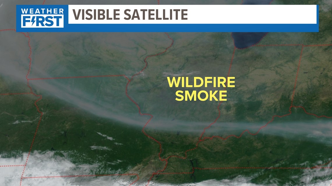
Our visible satellite imagery is showing that line of smoke and the thickness it has settled over our area. There is no sign that this changes over the next couple of days. It will probably be until Friday when our next system arrives to change the wind direction and get some of this out of here.


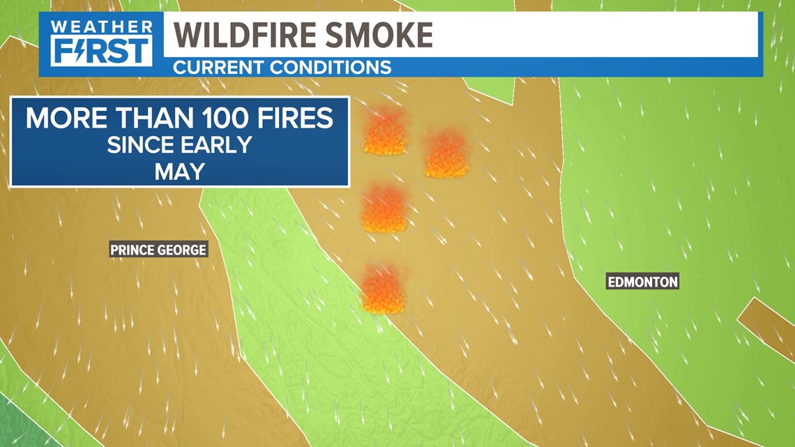
Areas in western Canada have been dealing with an extremely dry spring. More than 100 wildfires have burned since the start of May, and that wildfire smoke is vaulted thousands of feet above the surface. Notice the wind arrow direction as well: that front that cleared us out from our rainy pattern was also responsible for bringing this smoke down from Canada.


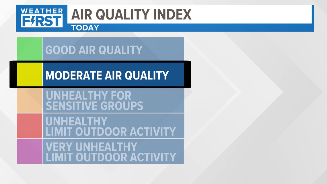
We aren't smelling much of that wildfire smoke here at the surface, but that cold change today. Our air quality is starting to worsen just a little bit, and that may be the case later today.


As of Friday morning, our air quality is in the yellow. This could even worsen as the day wears along because of a cold front moving into the area. This is due to the sinking nature of cooler air behind the front and the winds mixing the smoke to the ground. As expected, the air quality worsened during Friday evening behind the front. For much of the evening, the air quality has been orange or unhealthy for sensitive groups. The air quality should improve Saturday morning.
Download the free 5 On Your Side app to get the latest watches and warnings and track conditions live with our interactive radar. Use the links below to download now.
5 On Your Side news app
iPhone | Google Play

