MISSOURI, USA — Last week, things looked like they were going to be quite warm. But I mentioned the possibility that this upper low may stick around a little bit longer, changing our forecast just a bit. Not only has it hung around, but it has really dug in!


We've had an incredibly difficult time getting rid of this system that brought severe weather to us, and a good portion of the Midwest over the last couple of days.


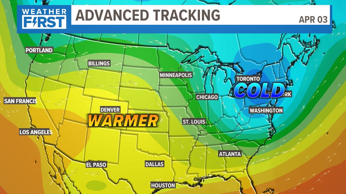
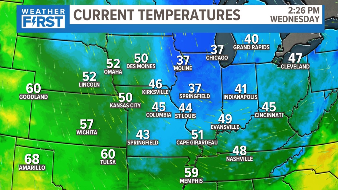
Colder air has really hung on today. You can see how quickly it wants to warm up out west, but we just can't quite tap into that just yet.


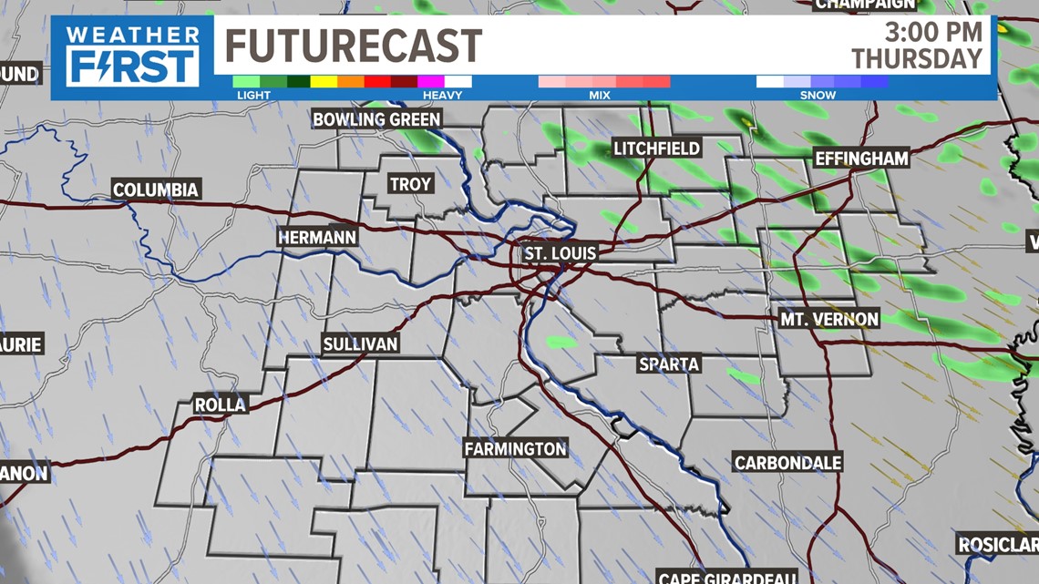
Thursday may be a little more similar to Wednesday than we would like. I expect us to be on the edge of this cloud cover, with a few more breaks in the clouds. But we may see that upper low drag a few more showers our way as well, primarily in the afternoon.


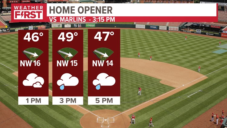
The day will be mainly cloudy, with a wind that makes it feel like it's in the upper 30s throughout the day. Other than a few hit-and-miss showers, I don't really expect an impact to field conditions or the status of the game. Wind blowing in from left center will be quite chilly, and limit any balls going out that direction.


