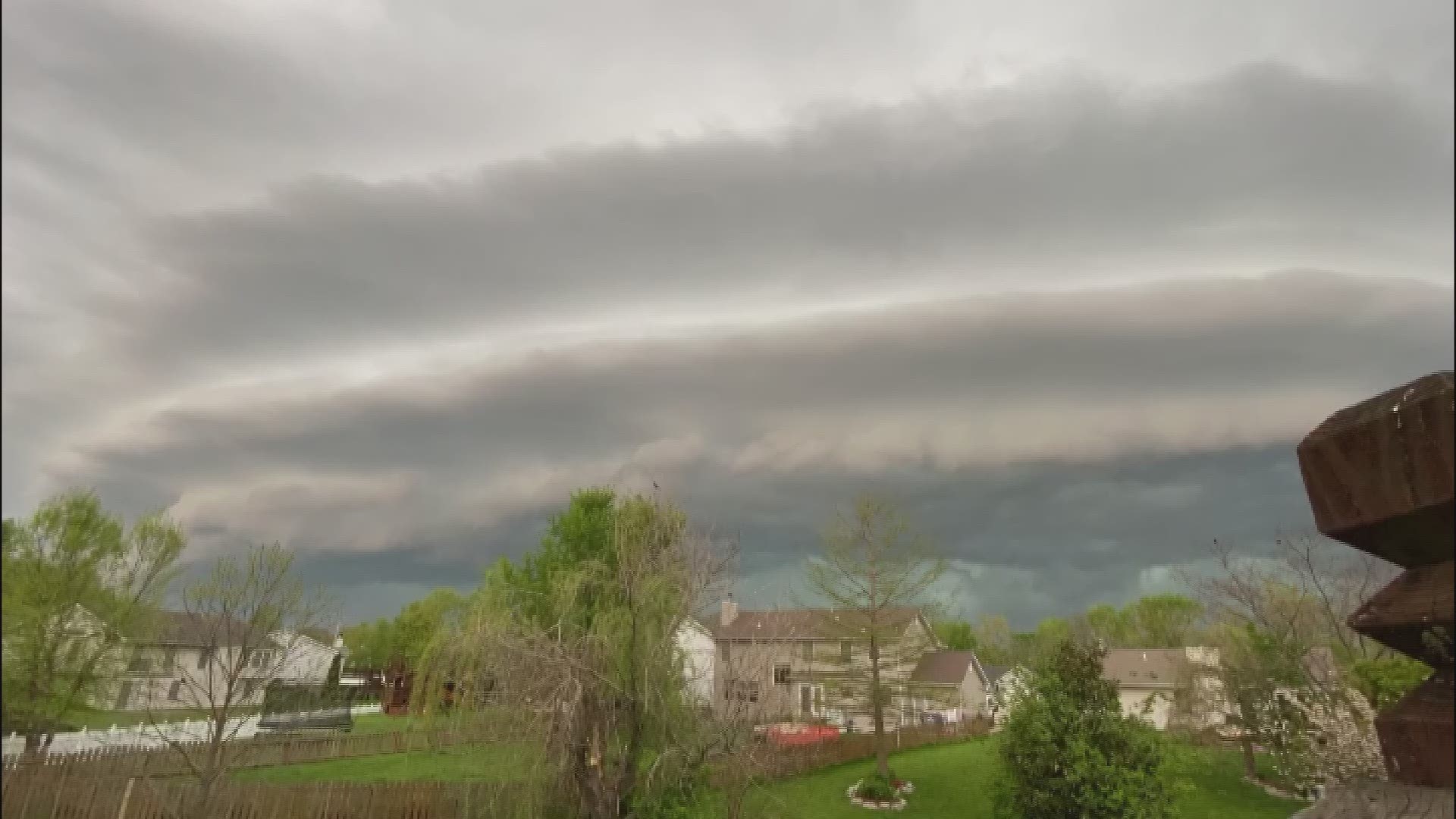
O'FALLON, Mo. — The St. Louis area saw more showers and storms Friday evening, but the way the clouds moved across the sky caught the eye of several people in the area.
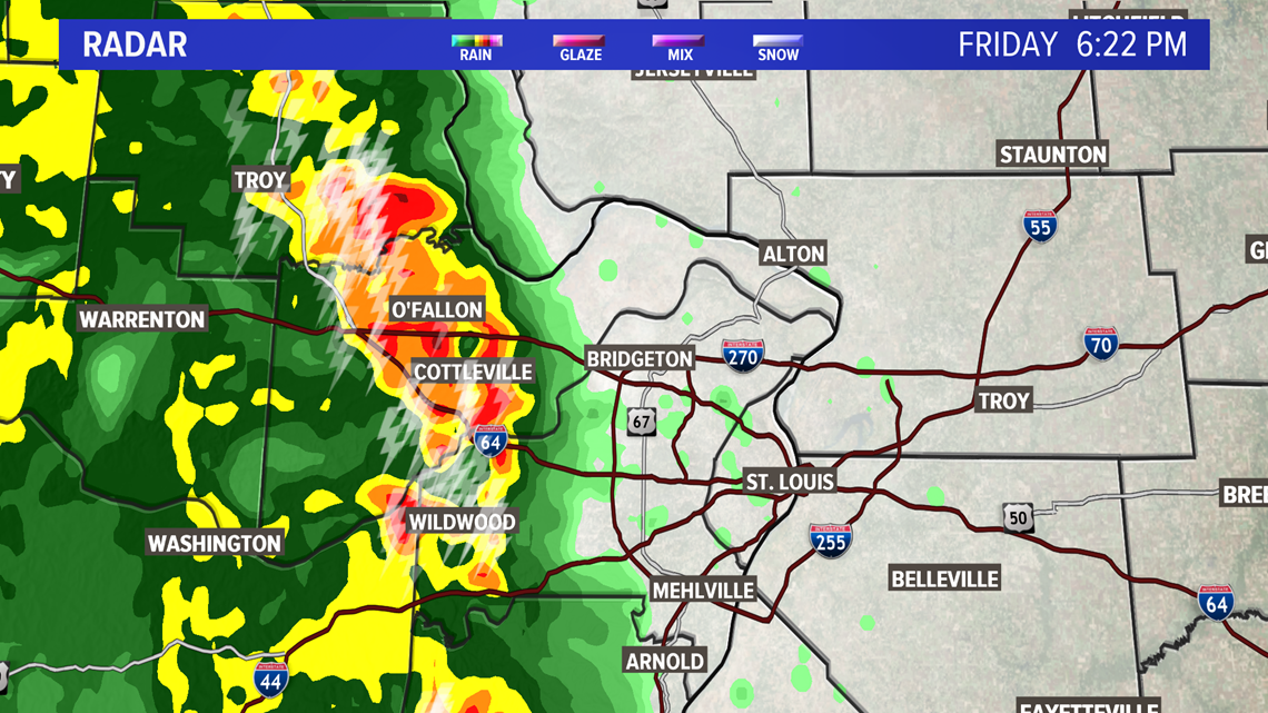
Karl Lund, of O'Fallon, Missouri, was so captivated by the line of storms, he set up his camera and took a time lapse video. The video he sent to 5 On Your Side shows the Friday evening line of thunderstorms move across the area. The storms weren't severe but came with heaving downpours, gusty winds and plenty of lighting and thunder.
This line of thunderstorms formed after a very sunny day with highs in the mid-70s and plenty of moisture to work with, as dew points climbed into the low-50s. A thunderstorm line like the one we saw Friday evening typically occurs with some kind of frontal system.
In our case, we had an approaching storm system that provided a nice trigger.
As cold or cooler air rolls underneath the warm air, it pushes the warm air upwards, creating thunderstorms over a wide area, which developed the amazing line of cloud formations out ahead of the long line of thunderstorms.
The clouds appear as a line just ahead of the boundary between the warm and rain cooled air behind.
RELATED: Live interactive radar
Here's a radar image of what the storm looked like as it passed over Karl Lund's home, so you can see the line of thunderstorms as they pushed through the area.


Did you see the cool cloud formations? If you have photos or videos to share, you can post them on the KSDK Facebook page or text us at 314-444-5125.
5 On Your Side news app
iPhone | Google Play

