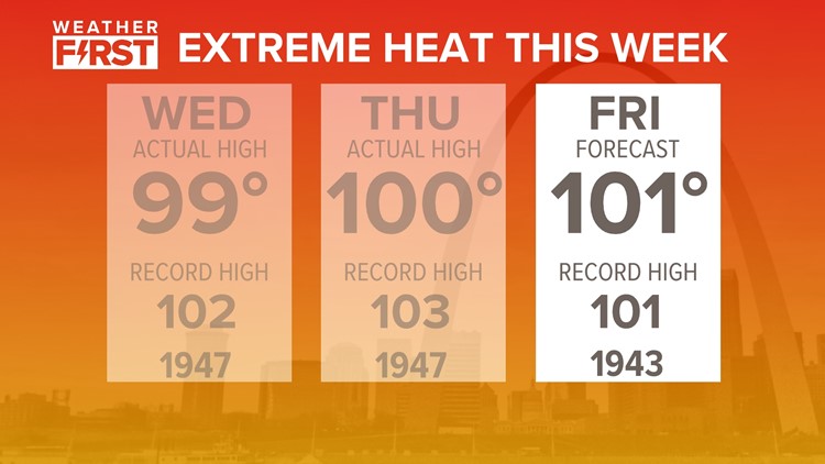
ST. LOUIS — It has been a hot and very humid week across the Bi-state area. Temperatures have been ranging from 95 to 100 degrees each afternoon since Sunday. Heat index values have topped 117 at the highest, which marks our 4th highest heat index value for the St. Louis area, ever since records have been tracked for that since the 1940s.
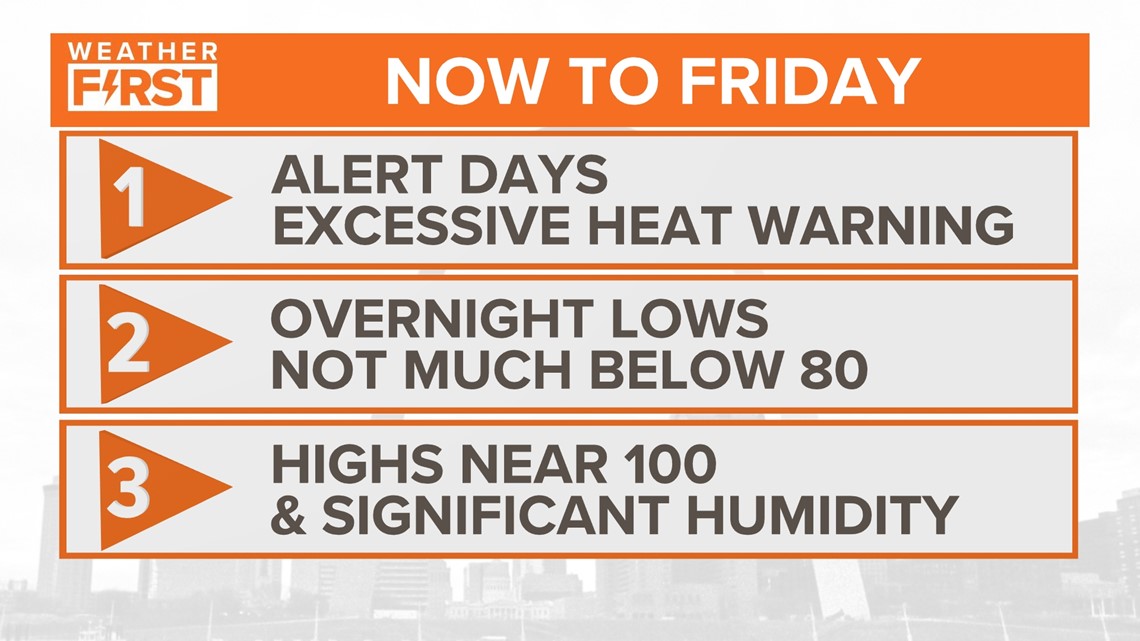
The St. Louis area is under an excessive heat warning through Friday at 10 pm. But what exactly does this mean for us? It can surely get this hot in August anytime. So what's the difference?
Download the free 5 On Your Side app to get the latest watches and warnings and track conditions live with our interactive radar. Use the links below to download now.
The Weather First Team will use "Storm Alert" to refer to life-threatening or major-impact weather conditions in our region. "Weather Alert" refers to nuisance or disruptive weather and is indicated by orange icons and bars in our weather graphics on TV and online.
5 On Your Side news app
iPhone | Google Play
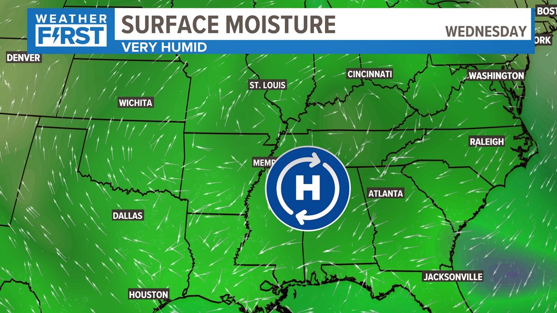
This is a unique situation where we have a surface high pressure to our southeast. This is driving up significant gulf moisture, and not in any hurry to move.


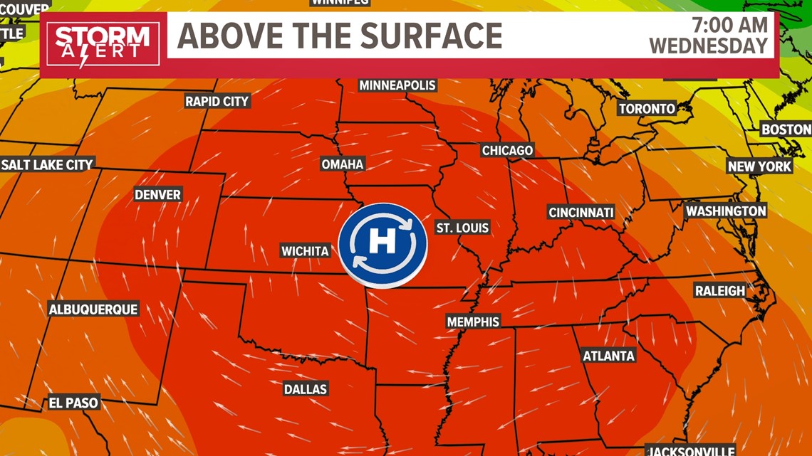
Thousands of feet above the surface, the dominant pattern is a strong ridge of high pressure. It's warmer, it's calm and its sinking motion quenches any opportunity for storm development. This is the main reason we are stuck in this extreme heat.


We will be stuck in this pattern the rest of the week. While we will get close to records each day, our best shot at reaching the record high will be Thursday and Friday.
Remember to hydrate often during heat like this and take breaks in the A.C., especially if you work outdoors.
To watch 5 On Your Side broadcasts or reports 24/7, 5 On Your Side is always streaming on 5+. Download for free on Roku or Amazon Fire TV.


