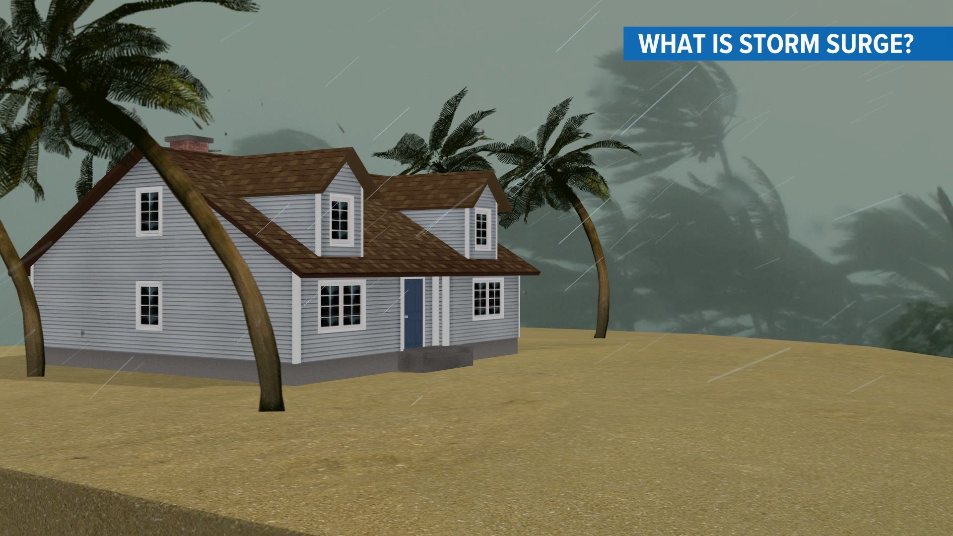
ST. LOUIS — As hurricane Laura approaches the Gulf coast of Louisiana and Texas, the storm surge is expected to be devastating.
The latest forecast from the National Hurricane Center continues to bring Laura onshore as a category four storm near the Texas-Louisiana border.
The NHC forecasters are calling this an "unsurvivable storm surge with large and destructive waves that will cause catastrophic damage from Sea Rim State Park, Texas, to Intracoastal City, Louisiana, including Calcasieu and Sabine Lakes."
In some areas, especially near and to the east of where the center of the storm moves onshore could see the combination of a dangerous storm surge and the tide will push water 15 to 20 feet above sea level.
For those of us not living in coastal areas, it's often hard to imagine what this would be like. Even those in coastal areas struggle with the reality of what essentially is a large mound of water, higher than the roof of a single story home, moving over your neighborhood. This water as it rises and moves is capable of carrying cars, boats and debris to new locations.
In addition, the strong winds create waves on top of this water that beat and batter everything they touch. Often, the upper floors of a home could be severely damaged by the wind while the lower floor is battered and sometimes washed away by the water.
Forecasters note that the surge may move inland up to 40 miles from the immediate coastline over the low land and up rivers. Flood waters will not fully recede for several days after the storm.
Download the free 5 On Your Side app to get the latest watches and warnings and track conditions live with our interactive radar. Use the links below to download now.
5 On Your Side news app
iPhone | Google Play

