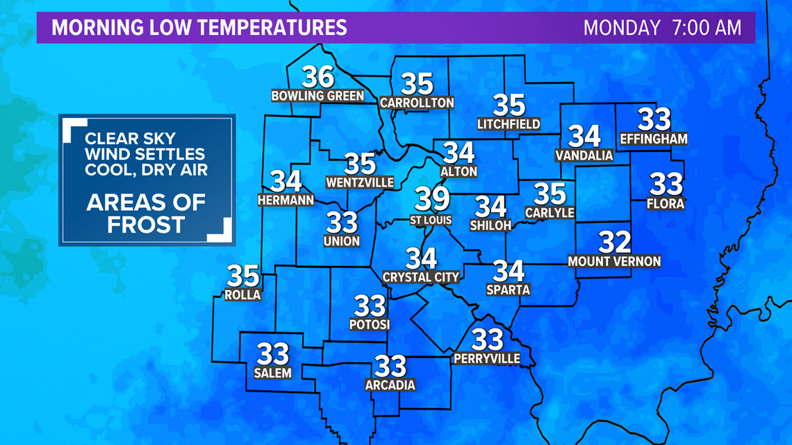
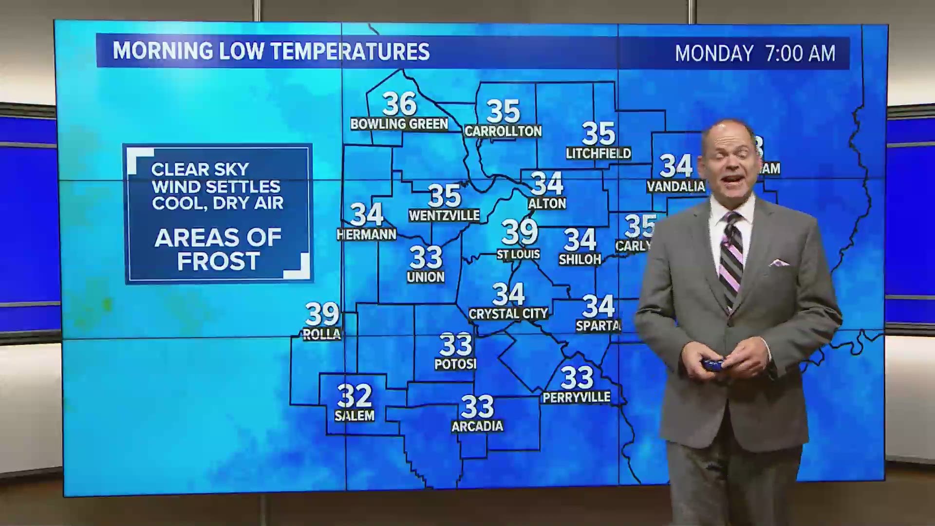
ST. LOUIS — After a chilly Sunday afternoon across the Bi-State region, diminishing winds and the clear sky will set the stage for the coldest night so far this autumn for most of us.
Gusty winds added to the chill during the day Sunday despite the bright afternoon sky. Now that the sun has set, temperatures will drop quickly. Winds will become light if not completely calm after midnight. The air that blankets the region is quite dry. Dew point temperatures are in the lower 30s for many areas.
The clear sky, light wind and dry air make the perfect recipe for exceptional radiational cooling. This will allow for temperatures to drop close to the dew point, in some cases to near freezing by daybreak Monday.


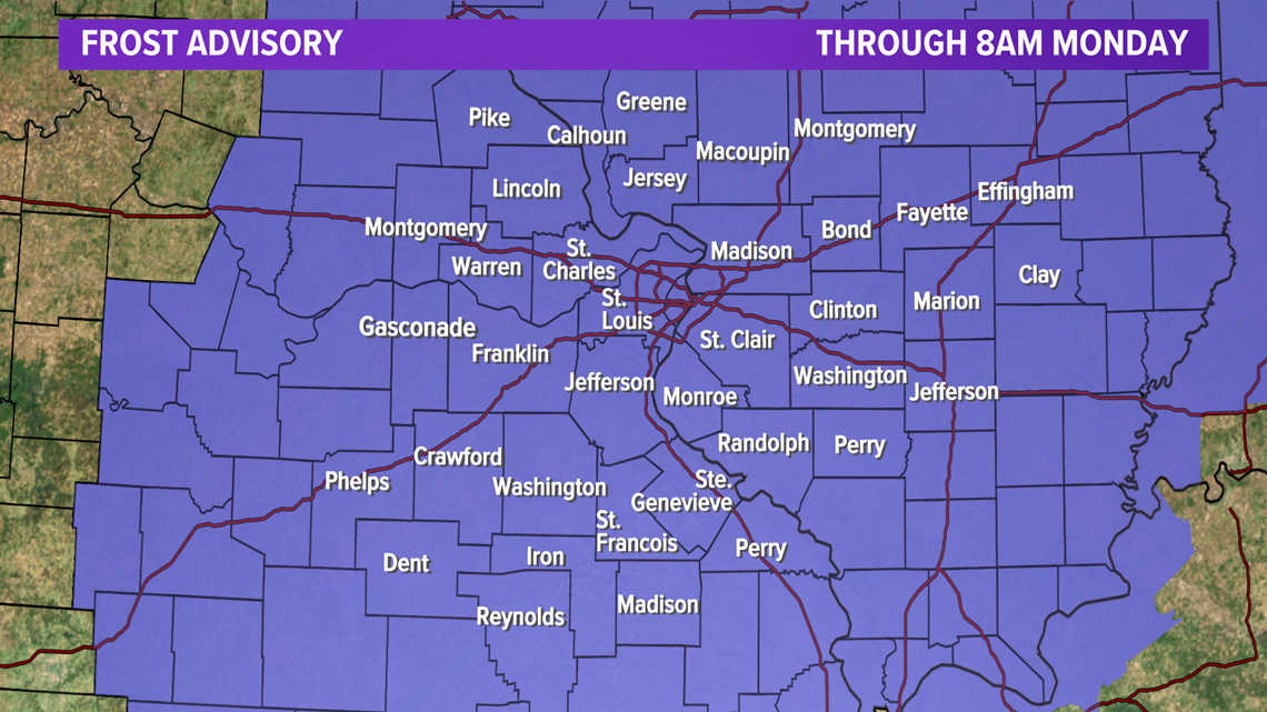
The National Weather Service has issued a frost advisory for our entire area from 2 a.m. until 8 a.m. Monday. Frost is expected to form, especially in open areas away from buildings.
Download the free 5 On Your Side app to get the latest watches and warnings and track conditions live with our interactive radar. Use the links below to download now.
5 On Your Side news app
iPhone | Google Play


Tropical plants and annuals that are not frost-tolerant should be protected. Cover plants with an old sheet or light fabric that is breathable. Newspaper and paper bags may be used as well. If a plastic covering is used, it should be removed as soon as temperatures warm a few degrees so as to not damage the plant.
RELATED: 5 On Your Side's latest forecast
With plenty of sunshine Monday, temperatures will quickly warm into the 40s and 50s. By the afternoon, we will climb into the mid-60s.
The remainder of the week looks warmer with little, if any, chance of rain through the upcoming weekend.

