ST. LOUIS — After a historically warm November in the St. Louis region, things will change drastically heading into the month of December. Arctic air is finally moving south. It's going to feel a lot more like winter here.

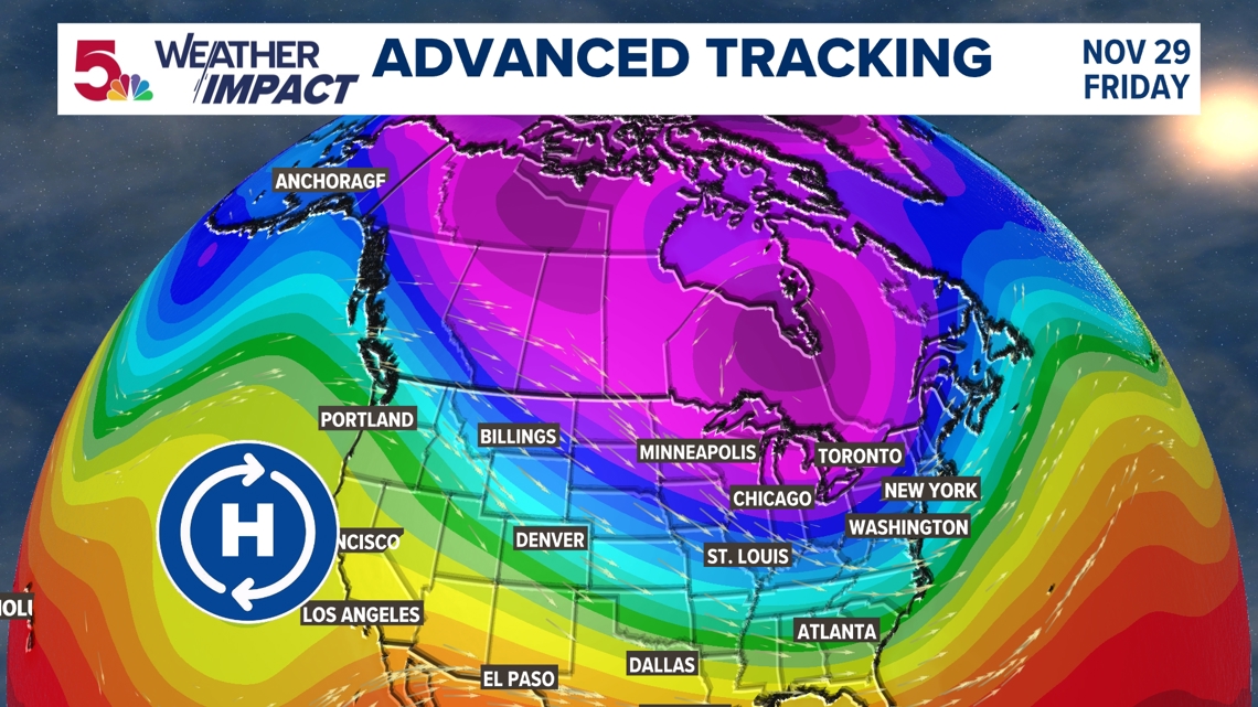
Let's start with how this setup is changing for us heading into next Month. The two main weather features are a strong Pacific high to our west, and a deep, cold low in the Hudson Bay. With clockwise motion around the high, and counterclockwise motion around the low, that sets up a direct path for disturbances to move into our area.

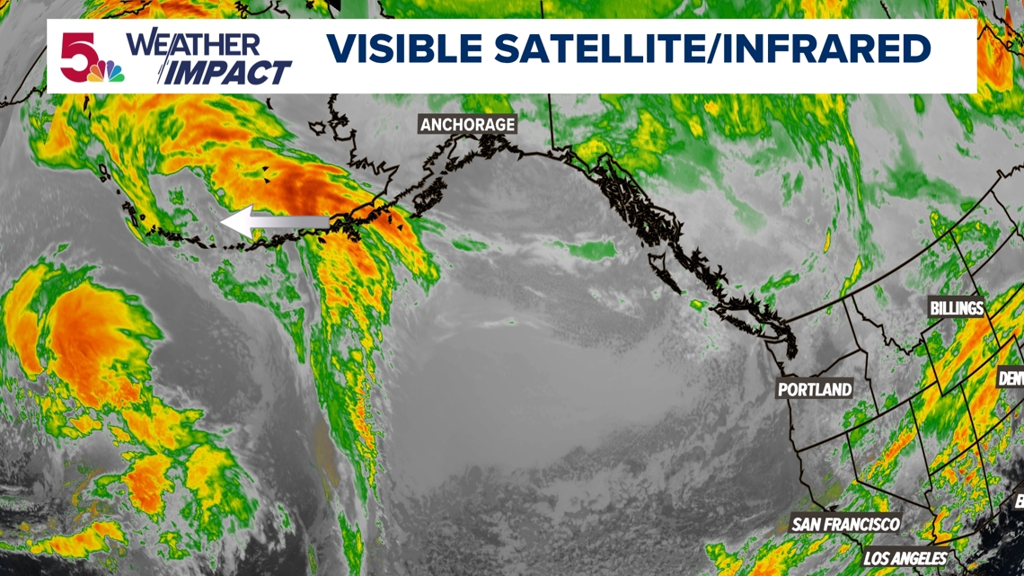
That's why we turn our attention to Alaska and areas to our northwest. Disturbances often develop here and move quickly through parts of Canada...including Alberta. As we get into the winter months, the term "Alberta Clipper" may be used to describe this type of system, as it often moves very quickly, and is a source of light snow for us.

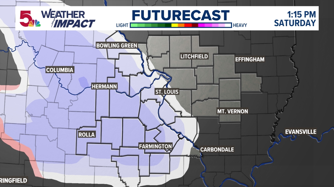
That's where our first chance for measurable snowfall comes from this Saturday. But because it's Tuesday now, and we are still days away, there are a lot of variables that could change. I just showed you where this system is originating from... It's thousands of miles away. So the above track? That could really change.
But I think it's important to note that all of us are likely to see at least a few flakes fly on Saturday, with at least a light measurable snowfall.

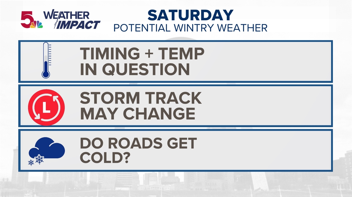
But because it is still several days away, there are some things that are in question.
When does this storm arrive? If it arrives early Saturday or late Saturday...temperatures are colder...the sun has set. There will be more impacts if this happens.
Here's an early look at how the trend appears to be shaping up for accumulation. There may be a band of more than an inch of snow west of St. Louis stretching back toward central and northwest Missouri. At this point, all indications are for dusting to an inch range for most of the St. Louis area. This will be updated as we get closer.

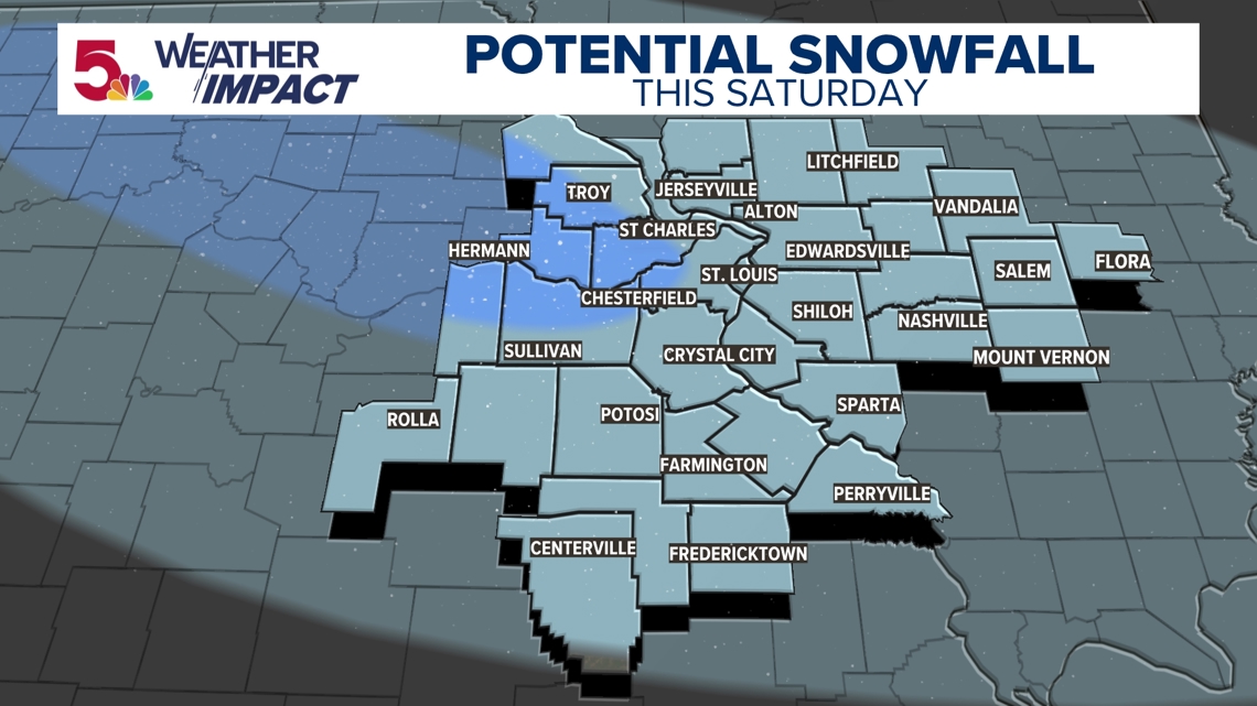
If it's during the day? We are probably above freezing and there probably won't be too many problems.
Also, the storm track may move further south, only leaving us with a few flurries.
The other thing: it has obviously been very warm, so will the roads cool down quickly enough, or will they be treated?
There are many things that can change between now and then, but we wanted to keep you up to speed as the long holiday weekend approaches.

