ST. LOUIS — Normally, we have at least seen a FEW flakes fly at some point by the end of November. But not only have we not seen any snow, we haven't seen much rain.


This is the system to the west that will be responsible for our wintry mix overnight Saturday. It doesn't look like much, does it? That's because it doesn't really carry a lot of moisture with it. So while it's not that impressive of a system, we will be impacted by it in some fashion.


The biggest thing to watch for us will be the temperature on Saturday night and Sunday morning. A lot more snow out west because the air is a LOT colder behind that. We just struggle to find much of that cold air at any point. That's why I don't expect many impacts locally.

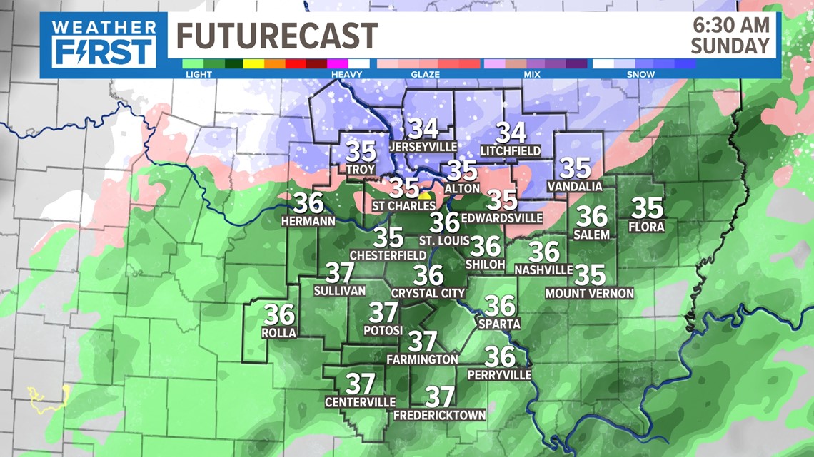
Notice how much of this is falling as rain at 6 a.m. Sunday. Overall, this is a rain event. While it's not all that much, that's the primary precipitation on Sunday. But we will see flakes mix in at times. Even big, wet snowflakes won't fall hard enough to impact the roads or accumulate. The temperature never gets below freezing.


With so many people traveling for the holiday, keep in mind that road conditions may rapidly deteriorate Saturday night in the Kansas City area, so if you're headed that way, you may want to leave a bit earlier.

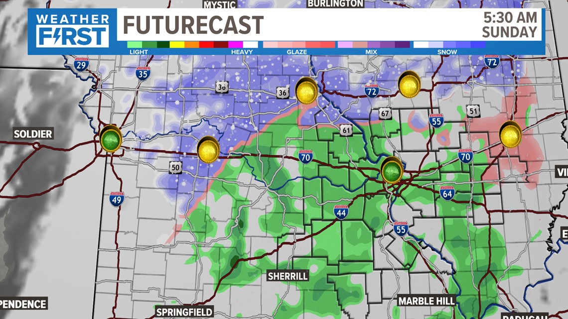
Locally here. we won't have problems on the roads. Our road temperatures are in the low 40s and there is no reason they should be colder than that. But if you're traveling north on 55 or 61, you may run into some slower conditions, or at least reduced visibility.

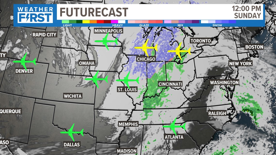
Additionally, any connections out of Chicago or Detroit may be a bit delayed by midday Sunday.

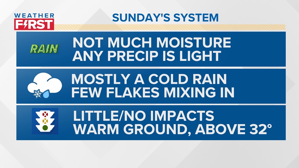
Overall, the impacts felt from this system will be very low locally. Mostly a cold rain will fall, with flakes falling here and there. More wet snowflakes will fall the further north you go. We have a pretty warm ground right now anyway, but temperatures will never get below 32 degrees. Enjoy it as you put up Christmas decorations, and stay safe in your travels!


