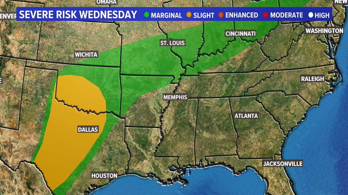
ST. LOUIS — A large storm system that has brought severe weather to parts of Colorado, Kansas, Oklahoma and Texas Tuesday afternoon and evening is headed toward the bi-state region Wednesday into Thursday.
A few isolated storms could be strong, but the greatest threat is expected to be from downpours which could cause areas of flash flooding.
Showers and a few thunderstorms will spread across the region by early Wednesday morning. Most areas will see one to three inches of rain. Southern parts of Missouri and Illinois may end up with two to four inches of rainfall from this system once it winds down later Thursday.


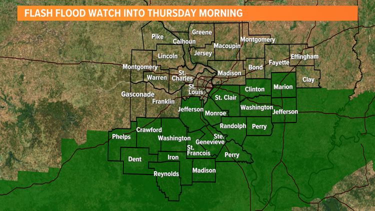
A flash flood watch has been issued for areas south of St. Louis across southern Missouri and southern Illinois for Wednesday into Thursday morning. Remember to never attempt to drive through flooded roadways. If you see water covering roads, turn around don't drown!
Download the free 5 On Your Side app to get the latest watches and warnings and track conditions live with our interactive radar. Use the links below to download now.
5 On Your Side news app
iPhone | Google Play
The overall severe weather threat looks limited, but a strong storm or two cannot be ruled out Wednesday afternoon.


After a couple of days with temperatures at or above 80 degrees, Wednesday into the end of the week will see a cooling trend. Some areas may not reach 70° Thursday or Friday. By Friday, sunshine will return and the weekend looks warmer once again with dry weather through Sunday.


