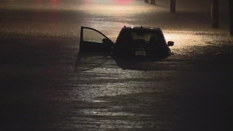
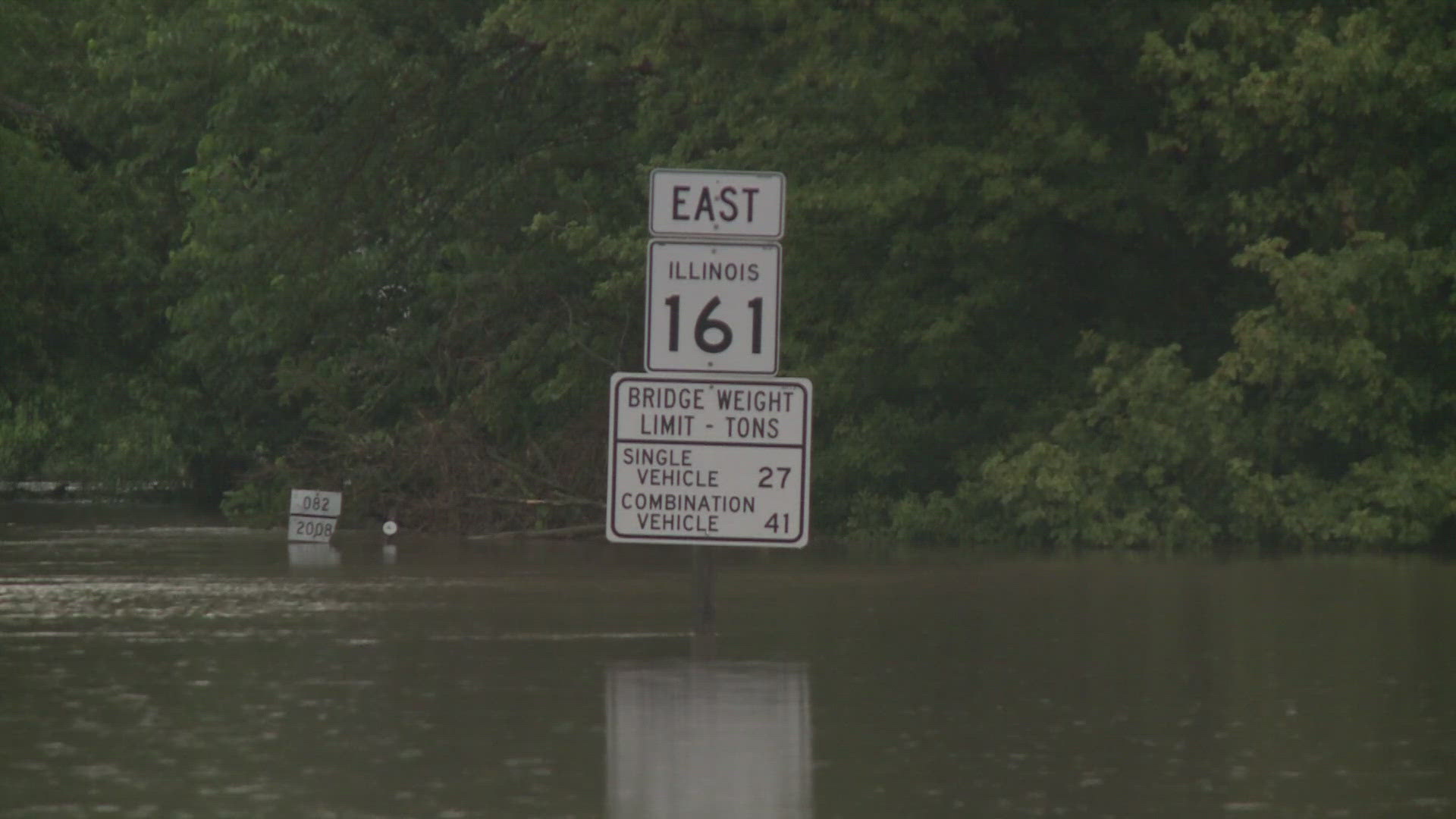
BRENTWOOD, Mo. — A creek running throughout the St. Louis region isn't a stranger to disastrous flooding, but downpours on Monday and Tuesday pushed its water levels to near-historic highs.
Deer Creek water levels reached 21.86 feet at around 4:35 a.m. Tuesday morning, according to the National Weather Service's Office in St. Louis. It's the second-highest crest that's ever been observed at the gauge, only exceeded on September 14, 2008, as the remnants of Hurricane Ike swept over the area.
The creek officially reached flood stage, with water levels at 13 feet high, at around 1:05 a.m.
The creek has a tragic flooding track record, with the nearby city of Brentwood largely still recovering from damages dealt over two years ago.
"In some places in the Deer Creek watershed, it was registered as a once in a 1000-year rain event, so it was massive," Mayor David Dimmitt previously told 5 On Your Side.
The city was around 70% completed with a $56 million flood mitigation plan when the storms hit in 2022. Now at 100%, it still wasn't enough to hold back the historic floodwaters on Tuesday.
The nearby community of Rock Hill also experienced high flood waters from Deer Creek back in April, forcing numerous businesses and homeowners to suck up water, mud, and debris from their structures.
For the past 15 years, the Deer Creek Watershed Alliance has advocated with community members to help with water quality and rainwater slowdown to avoid flooding. The alliance is a project of the Missouri Botanical Garden and funded by the Metropolitan St. Louis Sewer District, the Mabel Dorn Reeder Foundation, the Holton family, and US EPA Region 7 through the Missouri Department of Natural Resources.
They are urging people in the area to install rainscaping features including catch basins, plantings and pavement to reduce storm water runoff.


