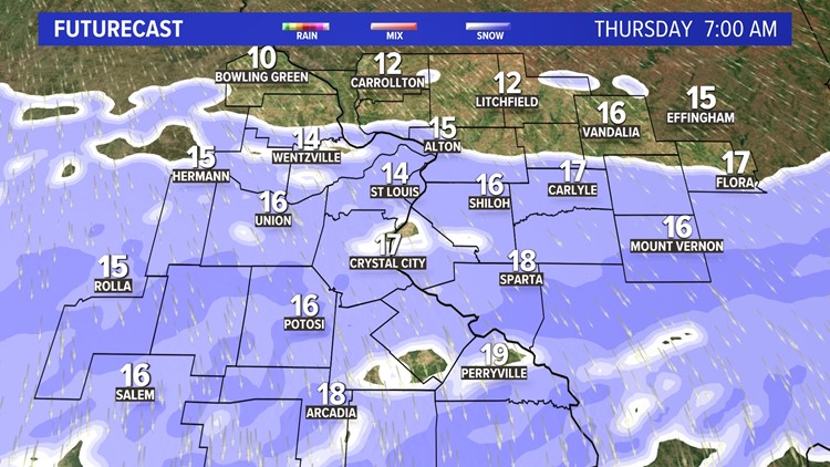
ST. LOUIS — Another batch of cold air has settled into the region setting the stage for a round of light snow and flurries early Thursday morning. Temperatures have fallen back into the teens with wind chills in the single digits.
With the cold air in place, a clipper system will zip across the Midwest bringing a few bands of light snow. Locally, the snow chances are limited by the cold dry air that will be in place near the ground. The weather system doesn't have enough time to draw extra moisture from the Gulf of Mexico until it gets farther east of our region.
RELATED: Check our live interactive radar

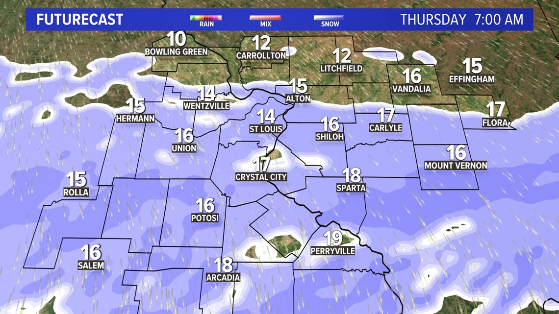
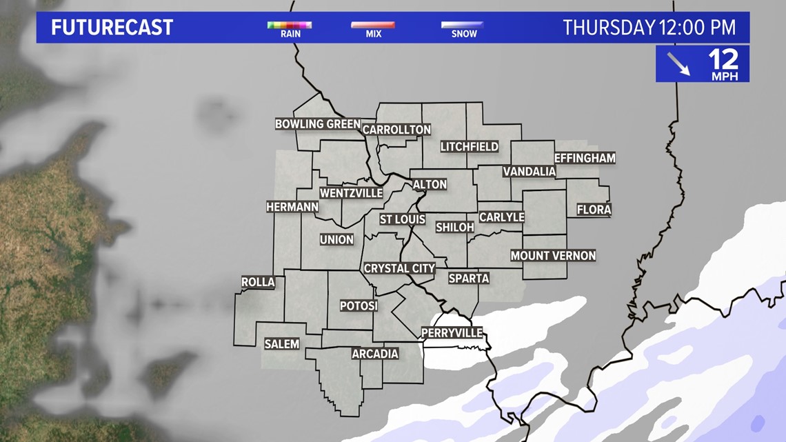
Snow will stick instantly with cold temperatures, and that could cause some travel problems. Also, this system is all light, dry snow with no mixing of freezing rain or sleet. It appears most of the snow will have ended by lunchtime Thursday.

Download the free 5 On Your Side app to get the latest watches and warnings and track conditions live with our interactive radar. Use the links below to download now.
5 On Your Side news app
iPhone | Google Play
Snowfall amounts will mostly be an inch or less, but a few bands with an inch or two may develop along and south of Interstate 70.

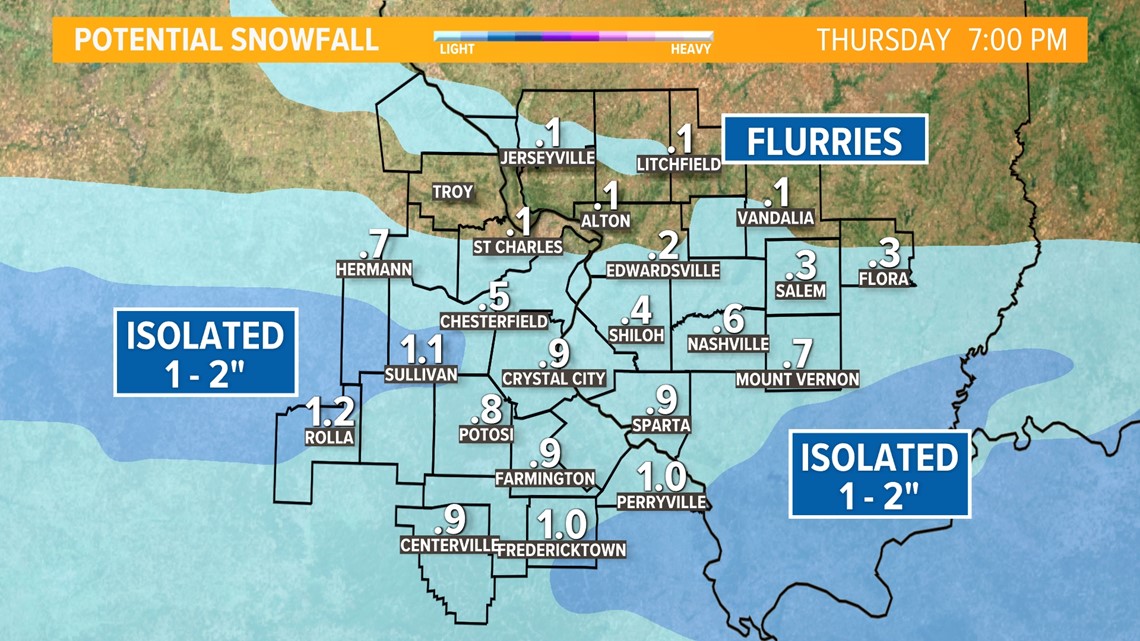
Indications are the better chance of accumulating snow will slide by to the south of the metro area. By Friday morning, temperatures will drop into the single digits across much of the area. If there is some snow cover, we may be flirting with subzero temperatures.
The cold doesn't linger into the weekend. Milder conditions with at or above-average temperatures are expected Saturday and Sunday.

