ST. LOUIS — Temperatures have been warm the last few days here locally. It doesn't seem like we have really seen much of a fall season just yet!

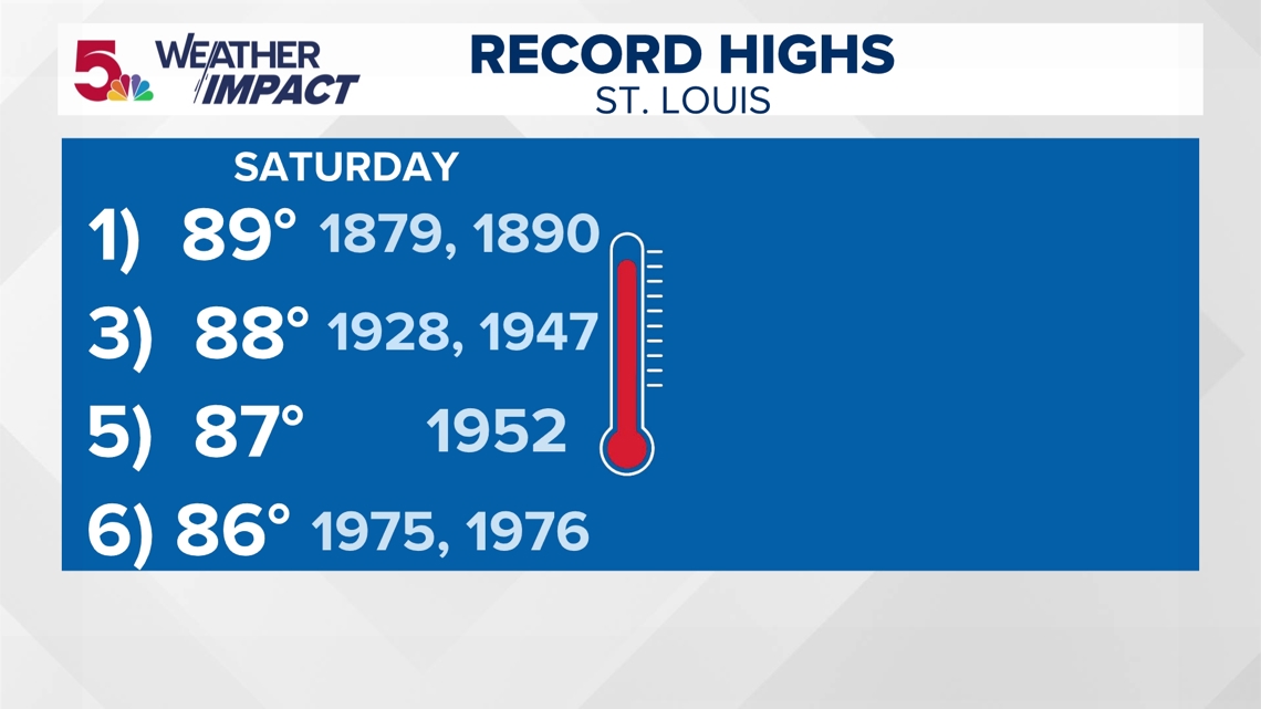
We were just under the record of 89 set back in the 1800s! Saturday, we hit 88! But Sunday, a cold front moved through, and this looks likely to really knock our temperatures down the most they have been so far this season Monday through Thursday this week.

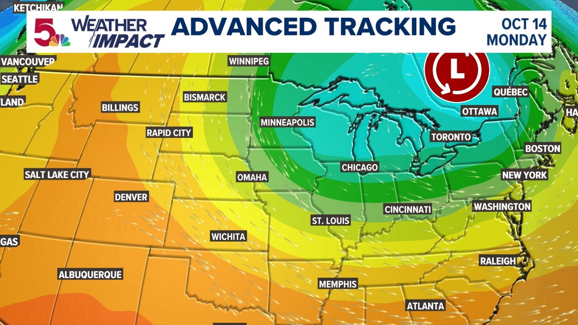
Colder air is settling in behind a pretty strong cold front... the strongest of the season so far. Not only will this bring our high temperatures in the upper 50s and low 60s for a couple of days in the afternoon, but our temperatures will fall quite a bit at night, as well. The high temperature on Tuesday was only 58 degrees at STL-Lambert, this is the coldest high temperature we have had since April 5th when it was 57 degrees.

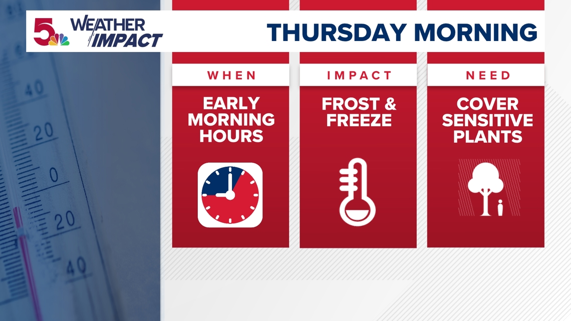

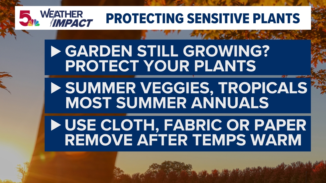
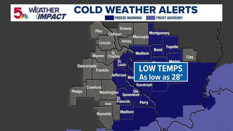
A weather Impact Alert has been issued for Wednesday morning when we are set to have our first widespread frost of the season and much of the area is under a Freeze Warning for temperatures as low as 29 degrees with many areas outside of the metro seeing lows in the low 30s area-wide.
Other factors going into frost are amount of cloud cover and wind that we have to deal with at that time. Those are details that will be ironed out during the coming days.

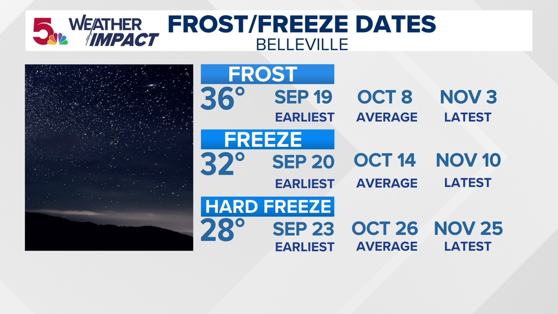

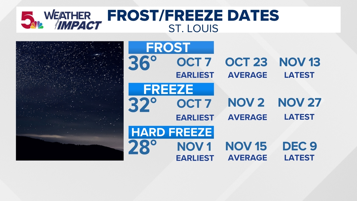


We aren't too far off from our seasonal averages in terms of normal frost and freeze in these locations. The weather Impact team, seriously doubts we get there in the city and parts of the county this go around, but it will certainly be much colder by next week for a few of these locations. Prepare accordingly and we will keep you posted as the days get closer.


