
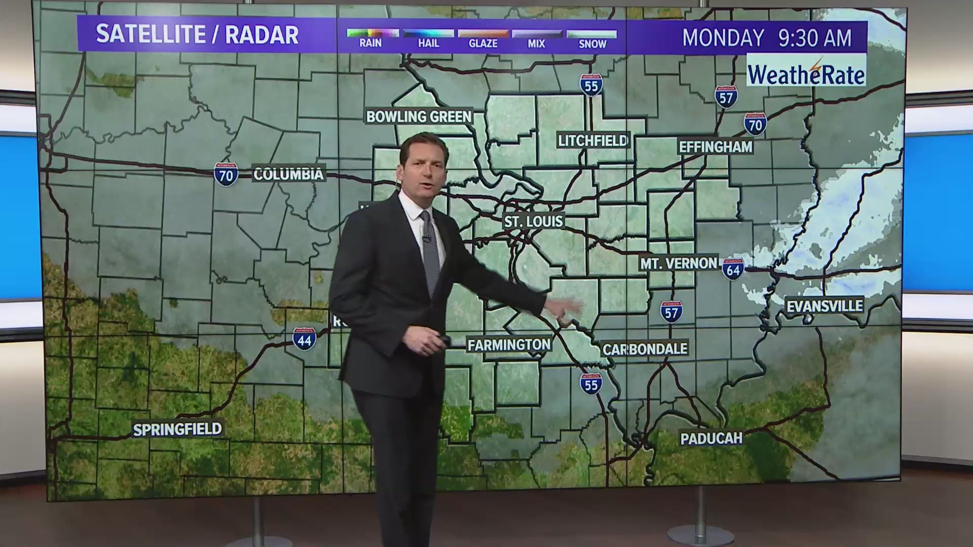
ST. LOUIS — Our next weather system moves our way Tuesday afternoon, with snow spreading into the bi-state late Tuesday into Tuesday night.
St. Louis is likely to get a dusting to 2 inches of snow overnight Tuesday before temperatures rise above freezing by Wednesday morning. Areas north of I-70 could get between 2 and 3 inches of total snow accumulation. The snow will likely impact travel Tuesday night.
This will force the snow to change to rain before ending early Wednesday morning.
A Winter Weather Advisory will go into effect late Tuesday afternoon and last until 6 a.m. Wednesday.

RELATED: Live interactive radar
We'll dry out Wednesday afternoon with temperatures rising into the 40s.
Thursday is dry, and Friday daytime also looks dry with 40s in the forecast for afternoon highs.
We're looking to possibly have another wet weekend. Rain is in the forecast, with showers possible from Friday night through Sunday morning. Saturday we will see temperatures reach the 50s, with 40s forecast on Sunday.
5 On Your Side weather app
iPhone | Google Play