ST. LOUIS — A weather system getting started in the western United States could bring some snow in the middle of the week.
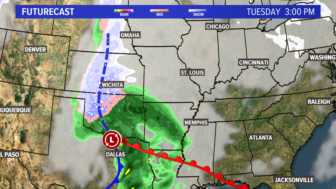
A weather system moving out of the Rockies and into the Plains will track south of the bi-state region Tuesday night into Wednesday. Light snow is expected to develop over the Ozarks Tuesday night and spread across much of the area into Wednesday.
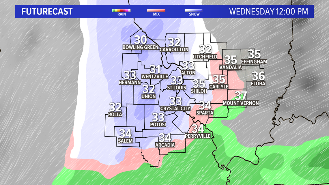
Temperatures are expected to be at or below freezing when the snow begins falling late Tuesday night southwest of St. Louis.


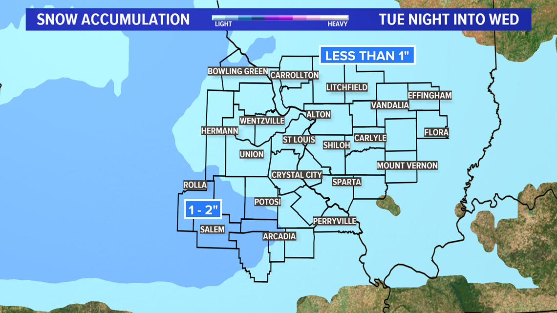
Light accumulation is possible before daybreak for areas southwest of the metro. Due to the timing, there could be some problems with the morning rush hour along Highway 44 toward Rolla.
During the day, the snow is expected to move across the rest of the 5 On Your Side area. Temperatures will likely climb above freezing leading to minimal accumulation during the day.
RELATED: Live interactive radar


Download the 5 On Your Side app to track the wintry weather with radar and get the latest updates for your area
5 On Your Side news app
iPhone | Google Play
Some rain or sleet may mix in across our far southern counties during the day Wednesday helping to hold down accumulation totals. Most areas will see less than an inch of snow. The best chance of seeing more than an inch will be in the eastern Ozarks. The areas around Rolla and Salem could see one to two inches of accumulation before the snow diminishes.


With the snow diminishing during the late afternoon and evening plus temperatures above freezing, most main roads will likely be wet.

