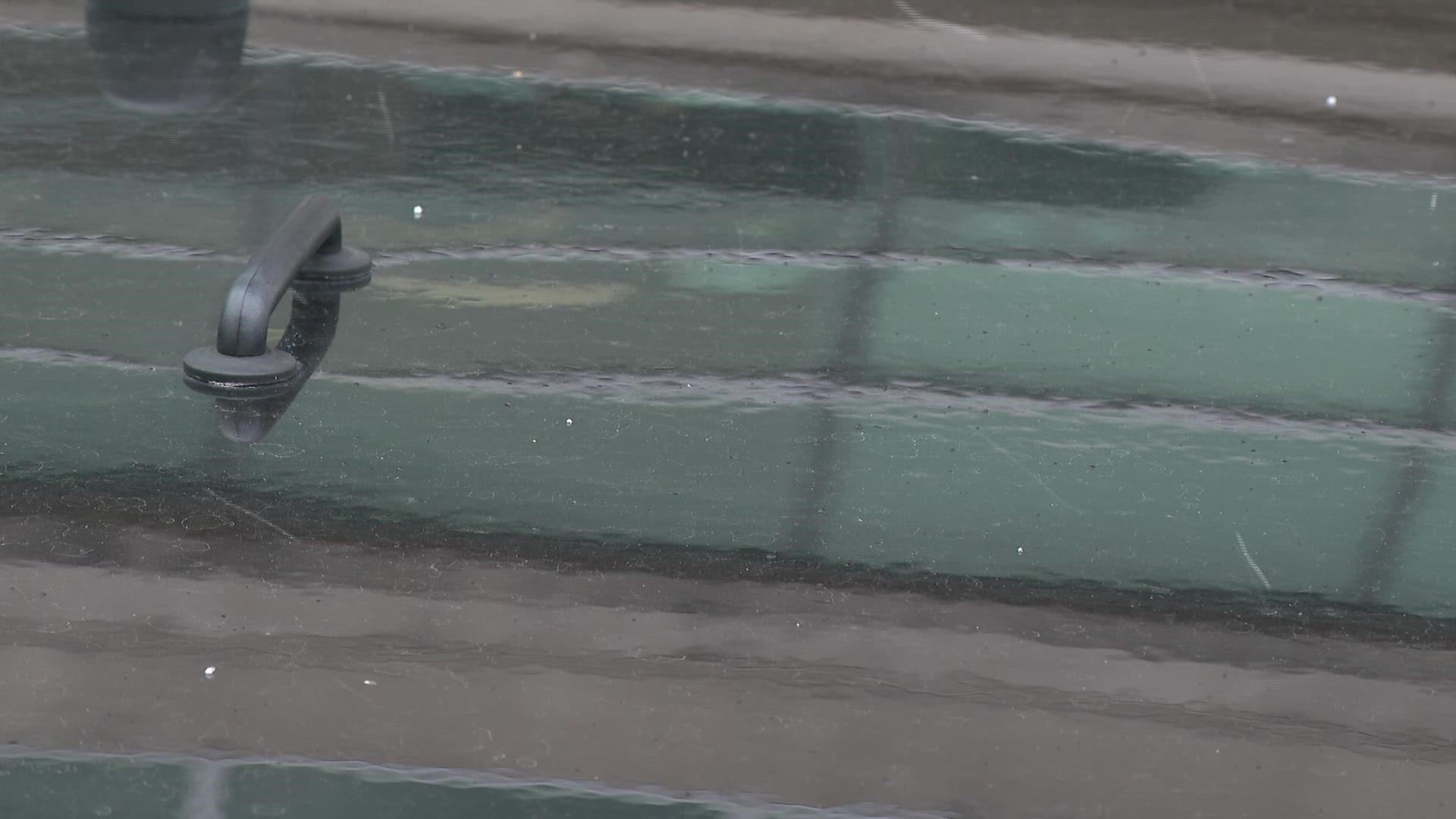
ST. LOUIS — We do have evidence of a light snow, flurries, and graupel in the St. Louis area early Friday evening, but don't give it too much thought.
A 5 On Your Side photojournalist recorded the video above Friday afternoon at about 4 p.m. It happened in the Clayton area. Chief Meteorologist Scott Connell also reported seeing light snow in St. Peters. Also, Kay Quinn reported seeing some spotty flurries around Brentwood. St. Louis-Lambert airport has also confirmed some light snow during the early evening.
Flurries are possible through the early evening. The air temperature and the ground temperature, both well above freezing, so we will not see any accumulation nor will we see no travel issues. The chance of flurries goes lower as the sun goes down.
It's cold and gusty in the Bi-State area Friday. Snowflakes were seen in areas around Mexico, Missouri, with no accumulation.
Clouds are expected to hang around until Saturday late morning, then we will see some good sun. It's going to be cold all weekend with highs around 45 on Saturday and 50 on Sunday. Look ahead to Tuesday when temps could reach 70 degrees.
Did you see flurries in your neighborhood? Share your photos in the free KSDK app, on social media, or by texting 314-425-5355.
Track the radar here: ksdk.com/radar

