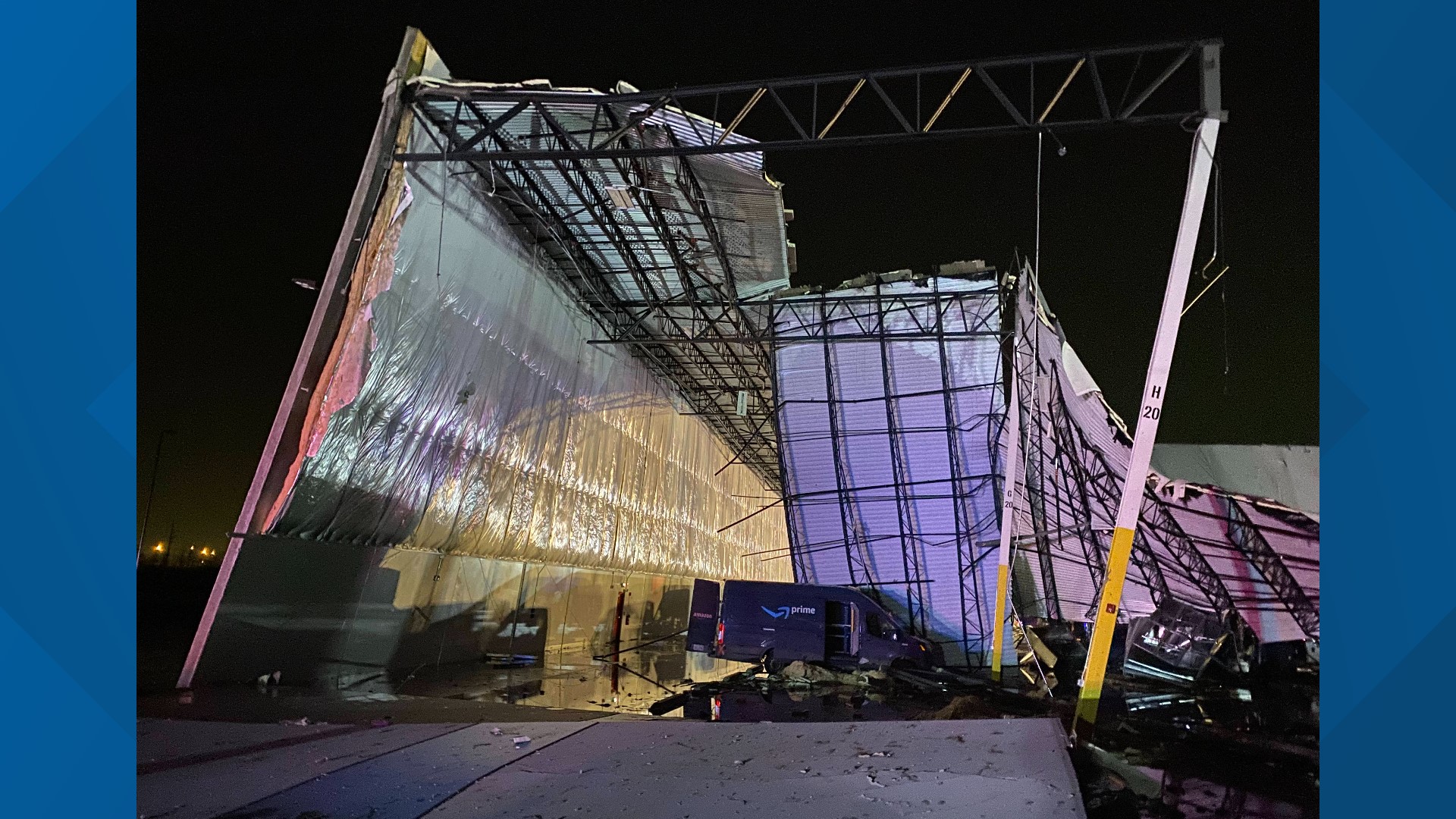
WELDON SPRING, Mo. — Chief Meteorologist Scott Connell and I were working on Dec. 10, 2021. From a meteorology standpoint, the Edwardsville and Defiance tornadoes went as forecast.
Models indicated a severe system three days in advance. Twenty-four hours out, we were confident the next day would be dicey. The day of multiple warnings went out ahead of the tornadoes.
"Every desk was filled, we were staffed up quite a bit," St. Louis Office National Weather Service Meteorologist Alex Elmore said.
With both the National Weather Service and local broadcasters staffing up ahead of the severe weather, the Edwardsville and Defiance tornado did not come as a surprise to St. Louis meteorologists.
"We could see the system several days out, it looked like it was going to be or the worst of it was going to be to the south of the St. Louis area," Elmore explained. "It wasn't until about a day or so ahead of time that it looked like we were going to get better fuel for thunderstorms further north into the St. Louis area."
As much warning as meteorologists could give was given on that day. Technology is improving allowing tracking severe weather to be more precise.
Its technology that meteorologists expect will improve forecasting and tracking in the future.
"There's lots of potential for improvement and we are seeing a lot of great technology come out," Elmore said. "In terms of radar, there are various types of artificial intelligence algorithms that can help provide clues and hints, kind of like a second set of eyes that can guide us through the warning process."
For now, forecasting and tracking will look the same as last year and Elmore said that is okay, "We do a really good job of that now."

