ST. LOUIS — November has been a tale of two halves: a really warm start with a cold couple of weeks in the middle. We've tried to find a balance between the two to finish the month, and I expect that trend to continue starting the month of December.
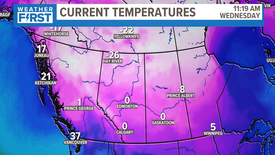
As this is often the case this time of the year, the cold Canadian air is really bottling up north. This is the area of Arctic air that will begin to push south, but fortunately, temperatures like this will not get all the way here.
For the latest forecast across the St. Louis area, click here.


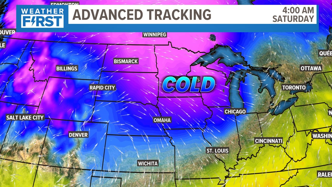
You'll notice the deeper pink shades of Arctic air only make it into northern Iowa. We're still on the southern edge of the colder air, however, so it will make a noticeable difference for us Friday night into early Saturday.

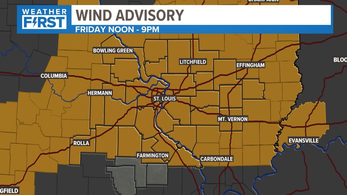
A Wind Advisory is in place Friday afternoon and evening for wind gusts up to 45 mph in the afternoon.

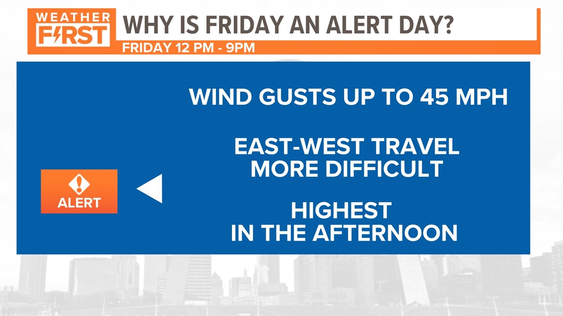
Friday will be an Alert Day with the potential for wind gusts up to 45 mph. The highest wind gusts will be in the afternoon.
Let's talk more about Friday because this will be another "weird" day. Temperatures will warm up into the 50s during the day but notice the timestamp here. Even at night, we'll still be in the low to mid-50s area wide.

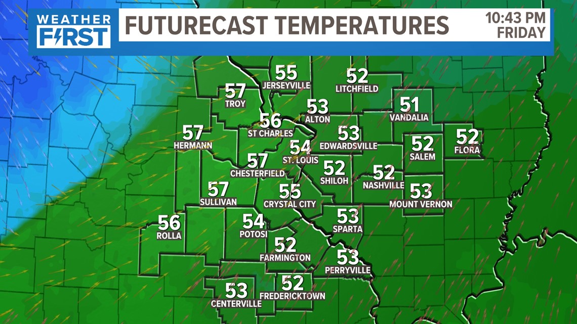

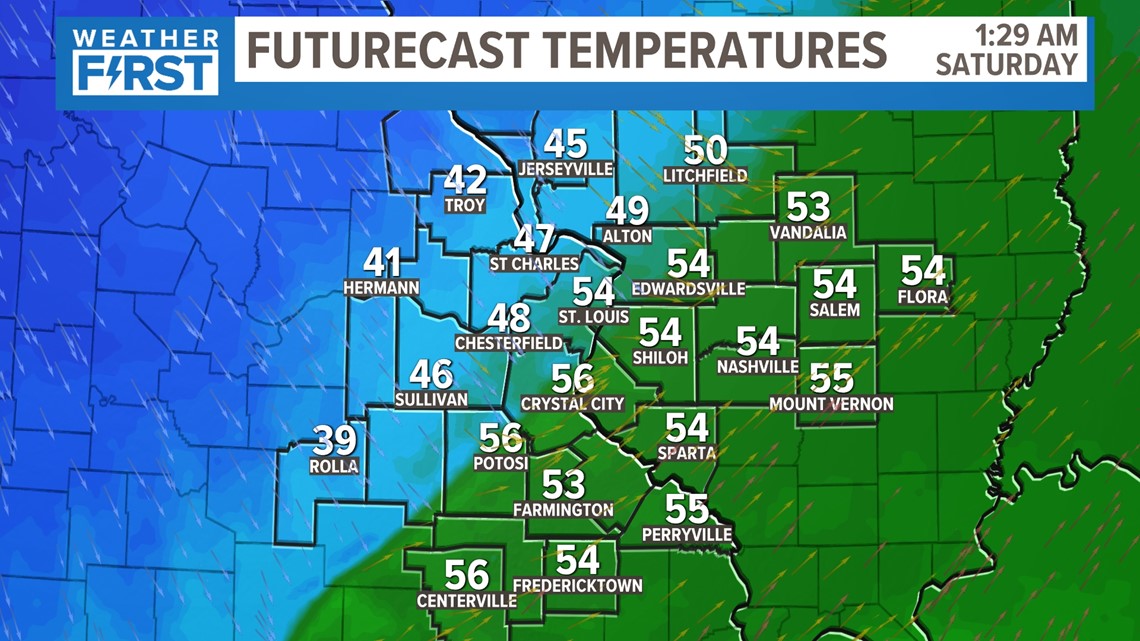
The main difference is that this cold front is set to arrive early Saturday morning. The timing? It still looks to be in the pre-dawn hours. So, you're likely going to see some warmer numbers for Saturday's high.
That's ok! Saturday's high will likely be in the mid to upper 50s at some point, but we're going to see these numbers fall significantly throughout the morning.

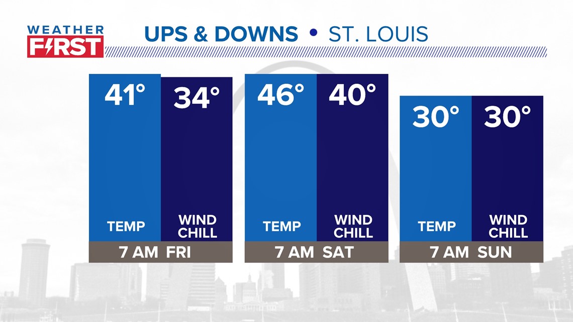
Friday morning will be pretty mild by comparison. Saturday morning will still be OK, but the wind picks up and brings in colder temperatures by mid-morning before an afternoon rebound. Take a look on Sunday – sure, it's cold, but it's not an Arctic blast that we can so often encounter in December.


