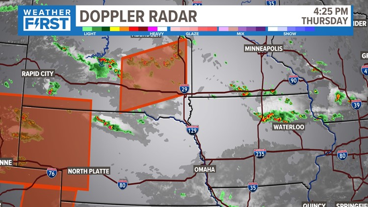
ST. LOUIS — Severe Thunderstorm Warnings have been issued Friday for parts of the St. Louis region until 9:15 p.m.
The affected areas are Pike County, Missouri, and Pike County, Illinois. Severe Thunderstorm Warnings have expired for Madison, St. Charles and St. Louis counties as well as St. Louis City.
A flood advisory is also in effect in St. Charles and St. Charles counties until 10:15 p.m. Do not drive onto flooded roads.
As we have experienced over the last couple of days, our rain chances have wavered from time to time.
Pinpointing timing and certainty for rainfall in your community has been even more difficult from this recent pattern. The reason being? Our storm chances are based on how these complexes develop, merge, and create other boundaries the next several hours. That is one of the main reasons your forecast changes in just a few hours.
The way things are right now, there are two scenarios that could play out over the next 24 hours. One of the storm complexes moves in early, gives us more cloud cover and rain in the mid-morning hours, and then "destabilizes" the atmosphere a bit.

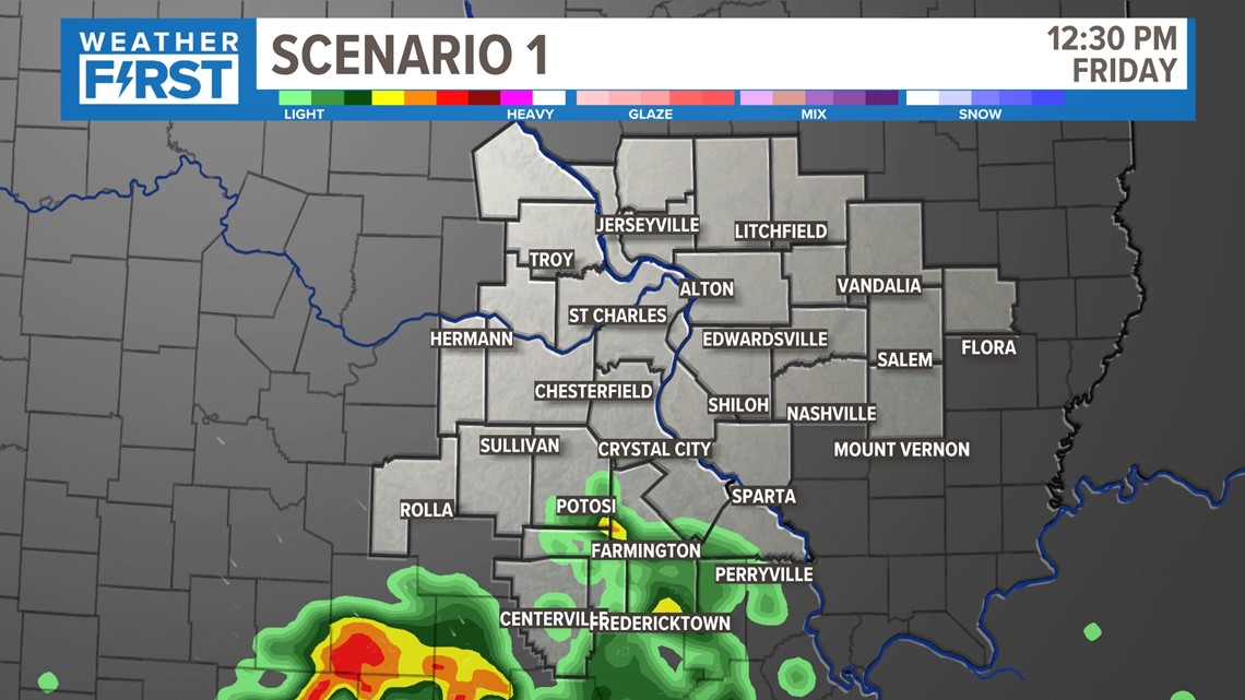

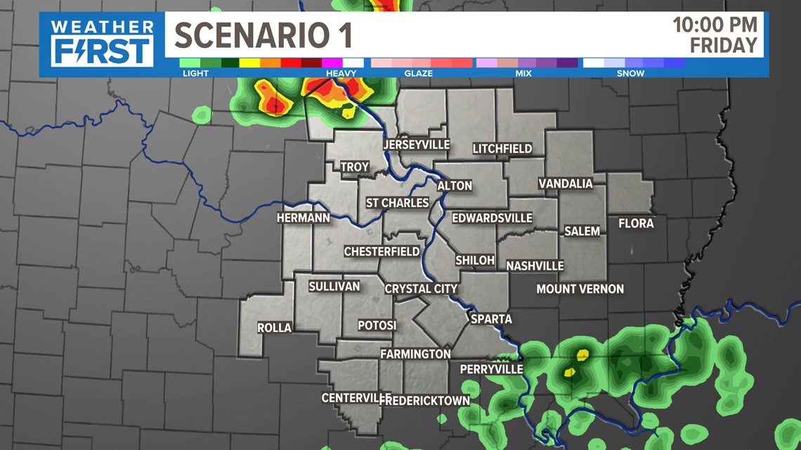
Storm complex number two doesn't quite have the firepower and those storms move in and gradually fizzle out due to the timing.

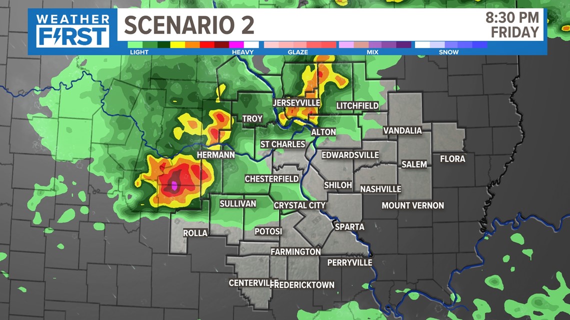
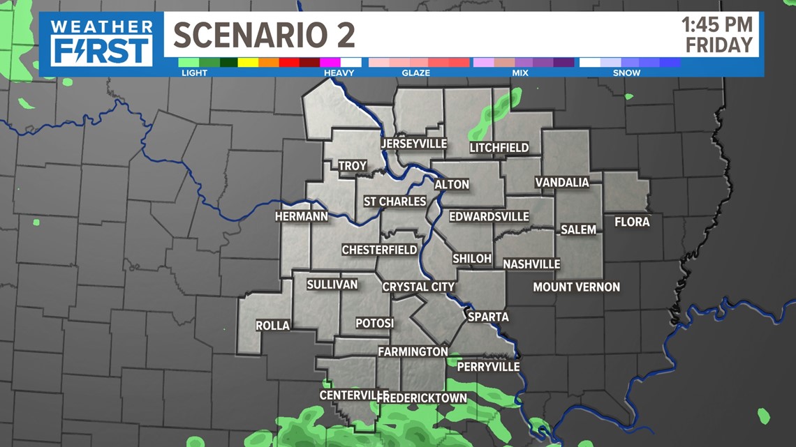
Scenario 2 plays out just a bit differently. That storm complex remains to our south Friday morning, and the heat and humidity continue to build. That next complex of storms moves into a more favorable environment, and a few stronger thunderstorms move in by late evening, just after sunset.

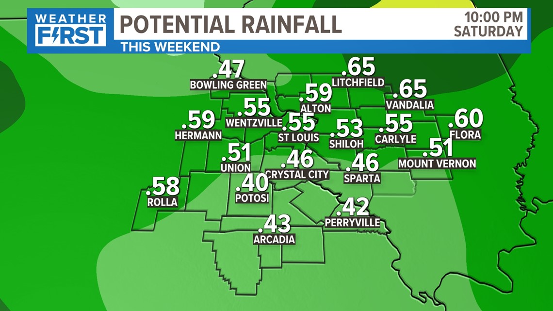
While locally heavy rainfall is possible, most of us will still expect around 1/2" on average. There may be some locally lower, or higher amounts, but this will really be determined by the rounds of rain we receive, and how those storms develop.

Friday morning should really aid in it taking shape, so we'll keep you posted as things start to come into light.


