
ST. LOUIS — A two-day severe weather outbreak is likely across the central United States, including here in Missouri and Illinois early this week.
A large scale upper level area of low pressure will move across the Plains states Monday and across Missouri on Tuesday. This area of low pressure will bring a significant severe weather outbreak to Texas, Oklahoma, and Kansas Monday and Monday night.
Our upper trough will cross our portion of the Midwest Tuesday.
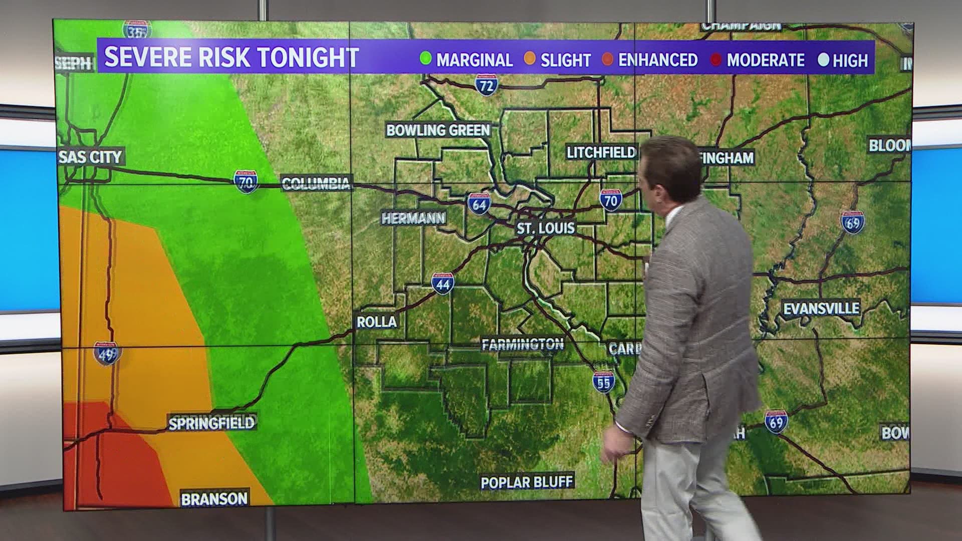
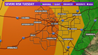
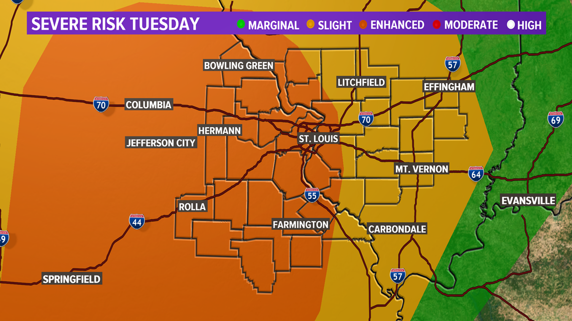
The National Weather Service has the St. Louis metro and areas north, south and west in the 'enhanced' area of the severe risk map. Outlying areas in Illinois are in the less severe 'slight' risk area.
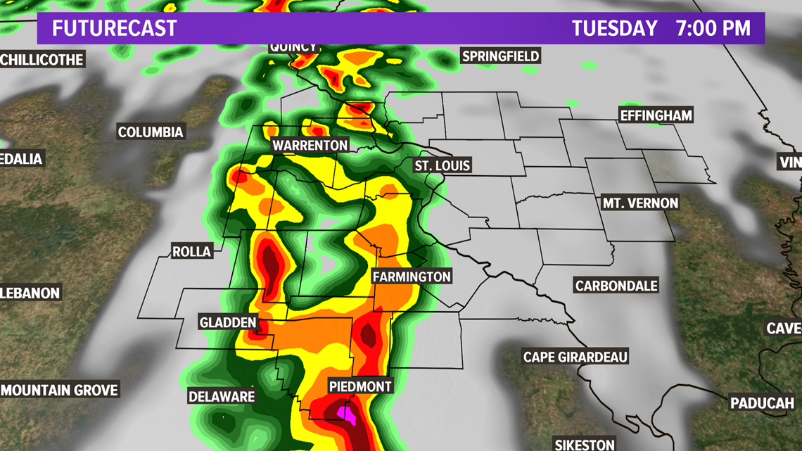
Late Monday night into early Tuesday morning showers and storms are expected into eastern Missouri and southern Illinois.
Later Tuesday, a second line of stronger to severe thunderstorms will develop during the afternoon. This line of thunderstorm activity will produce areas of dangerous wind, along with isolated tornadoes and large hail.
The line will race across Missouri and Arkansas Tuesday afternoon and into the St. Louis area by evening.

Anyone in this path of strong storm activity should stay weather aware on Tuesday evening. The strong thunderstorm line will cross into Illinois by late evening and continue through the night before clearing the state early on Wednesday morning.
For the latest watches and warnings in your neighborhood, download the free 5 On Your Side app by clicking the links below.
5 On Your Side weather app
iPhone | Google Play
5 On Your Side news app
iPhone | Google Play
Following the severe weather outbreak, expect hotter and mainly dry conditions for St. Louis, with a heat wave developing across the eastern and southeastern part of the United States.
RELATED: Live interactive radar