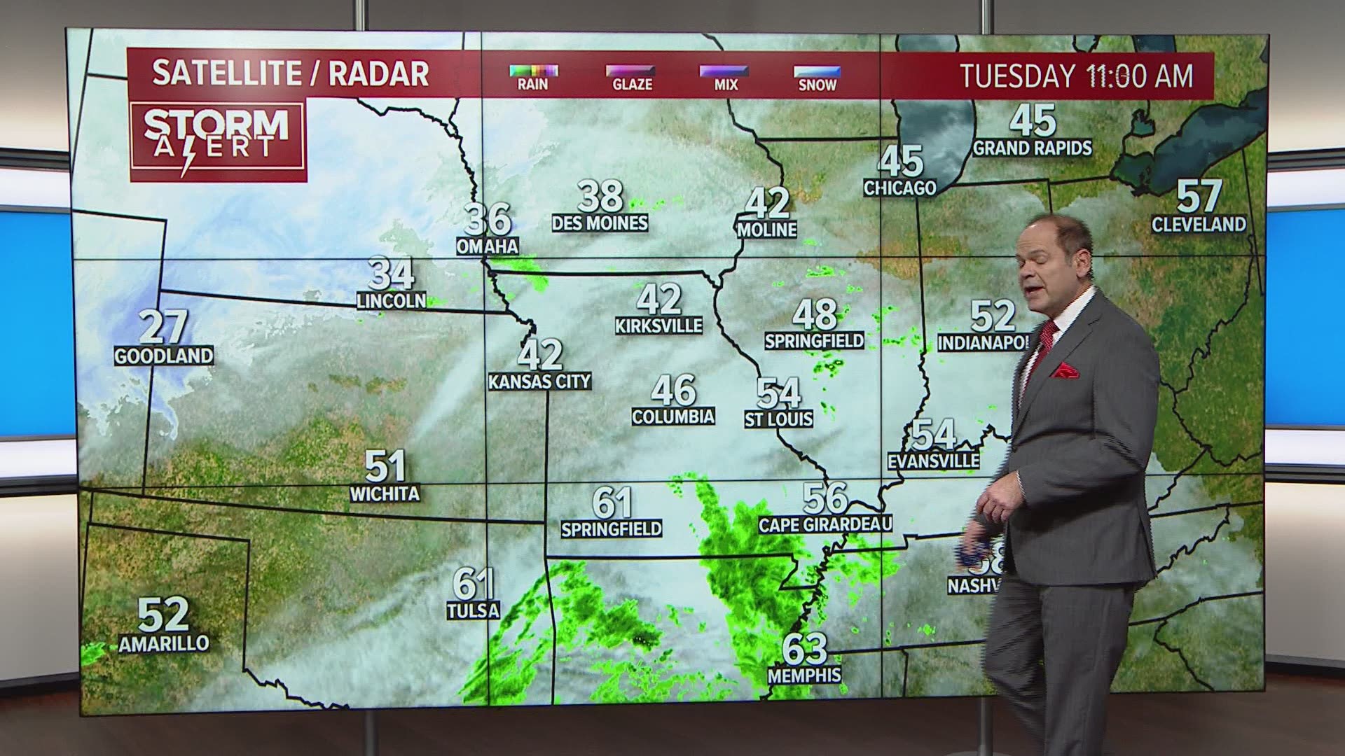
ST. LOUIS — A powerful storm system is bringing the threat of severe weather to the bi-state region tonight. Strong to severe thunderstorms are possible through the evening hours. The threat in the metro St. Louis area increases after 9 p.m. The main threat will be for damaging wind gusts in these thunderstorms. Some storms may develop rotation, so there is the possibility of an isolated tornado.
A tornado watch is in effect for most of the KSDK viewing area, including St. Louis, St. Louis County until midnight Thursday. Tornado warnings popped up in the area after radar indicated tornados, but there are no active warnings.
RELATED: Live interactive radar
Download the free 5 On Your Side app to get the latest watches and warnings and track conditions live with our interactive radar. Use the links below to download now.
5 On Your Side weather app
iPhone | Google Play
5 On Your Side news app
iPhone | Google Play

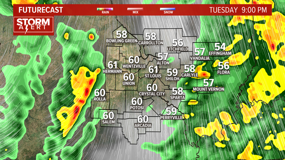
Some of the storms may have rotation adding isolated tornadoes to the threats from these storms. As the cold front passes by midnight, winds will continue to whip across the area as the intense storm system moves into the Great Lakes region.
With strong winds possible in the storm, Ameren has beefed up staffing to be prepared if the storm results in downed lines.
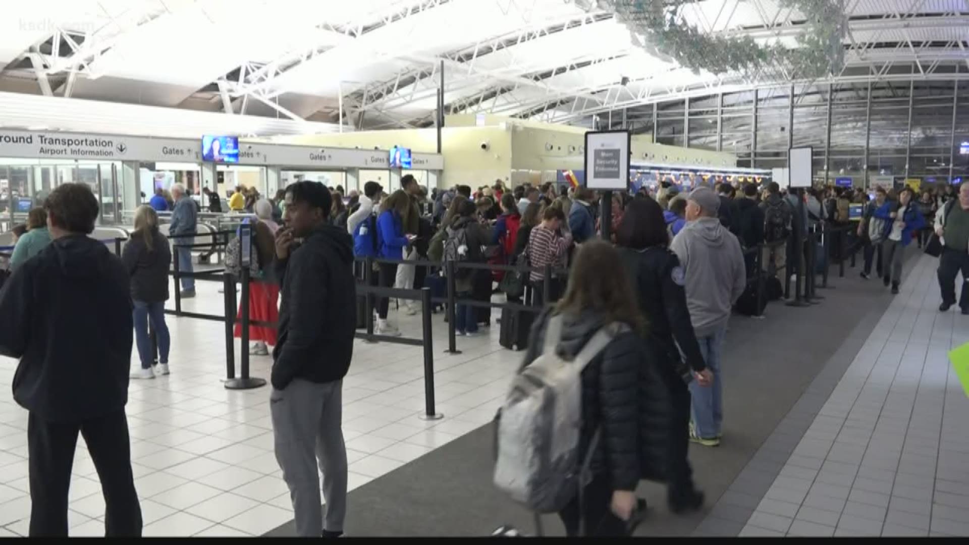
Travelers at Lambert were likely ready for delays with strong storms expected to cause trouble across the country, especially out west.

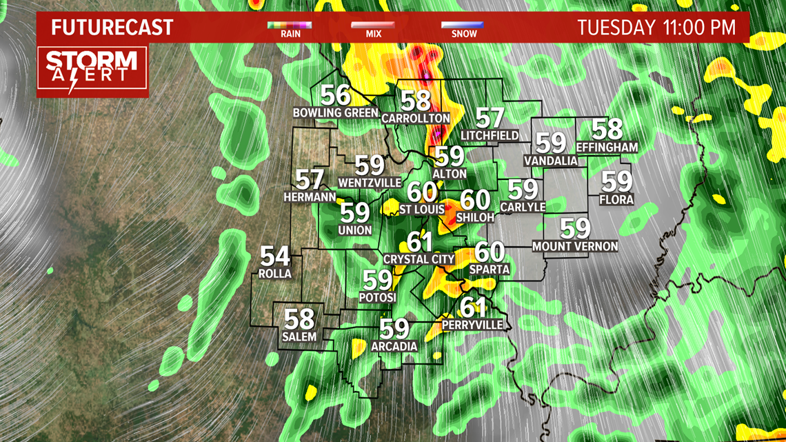
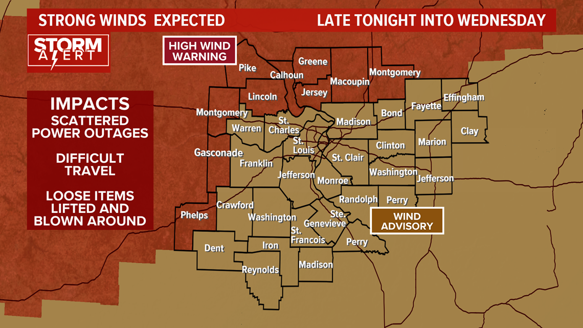
Widespread wind gusts of 40-60 mph are expected late Tuesday night into the first part of Wednesday. A wind advisory is in effect for Wednesday in the St. Louis area with areas to the north and west under a high wind warning starting late tonight.

Much cooler air will spread into the area Wednesday and Thanksgiving looks chilly in St. Louis. Several waves of showers and rain will spread across the area from Thursday through Saturday night. Rain chances will decease by Sunday.

