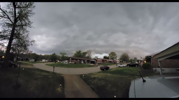
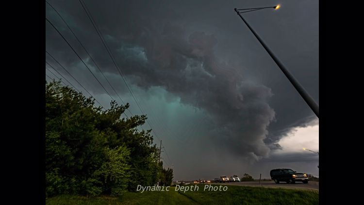
ST. LOUIS — A Severe Thunderstorm Watch has been issued for much of the St. Louis area until 8 p.m. Thursday. The National Weather Service Storm Prediction Center said thunderstorms developing through the afternoon pose large hail and severe wind risks.
5:56 p.m.
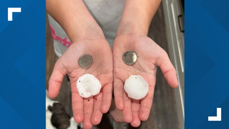
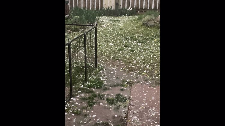
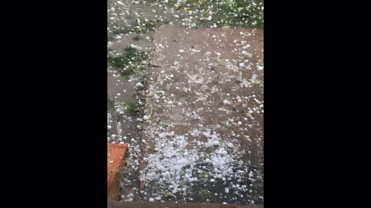
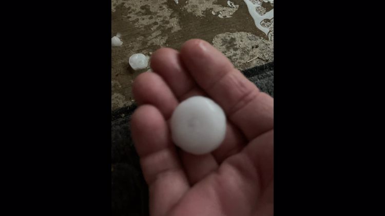
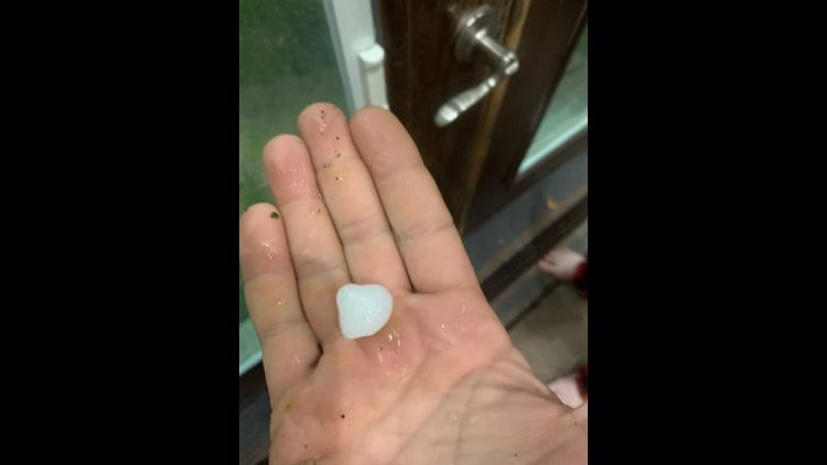
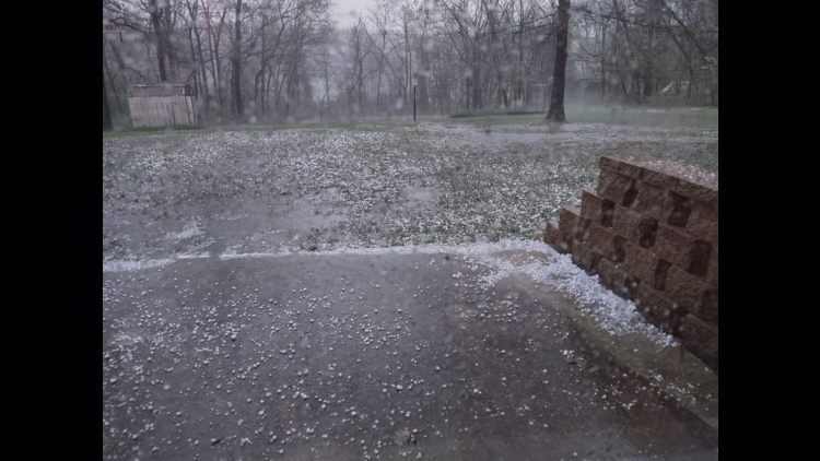
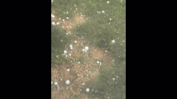
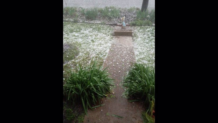
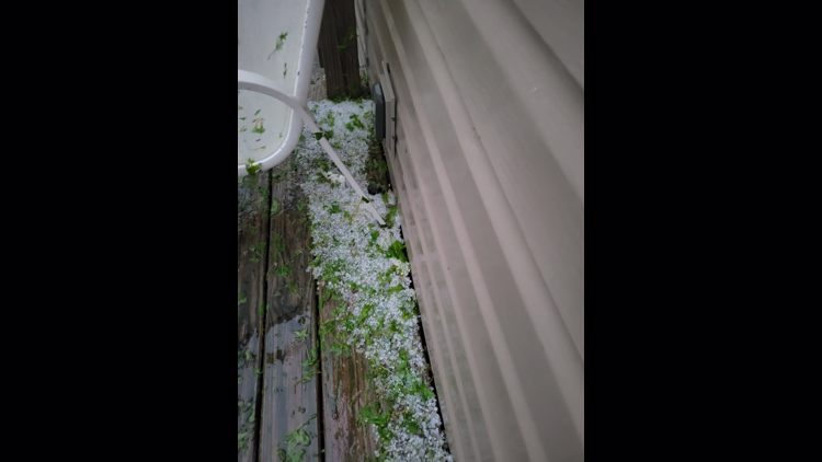
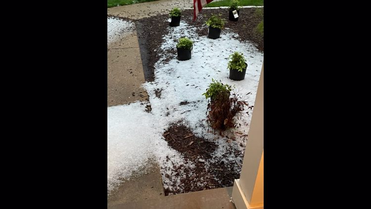
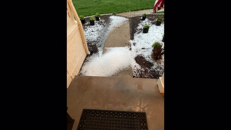
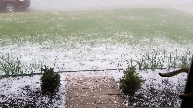
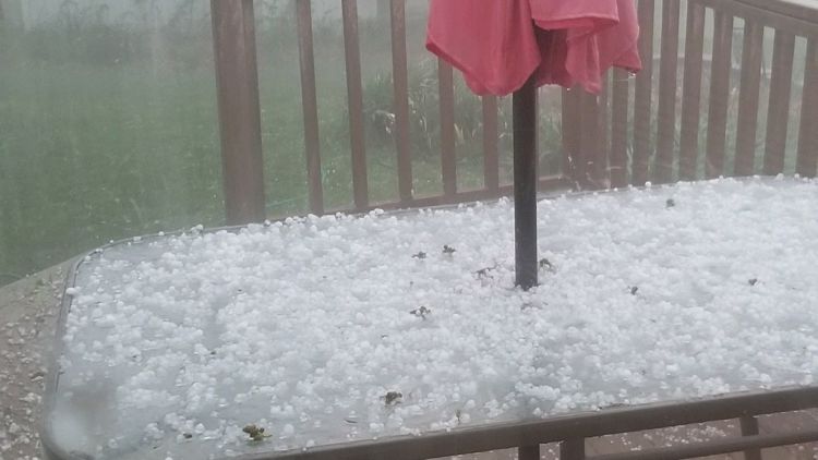
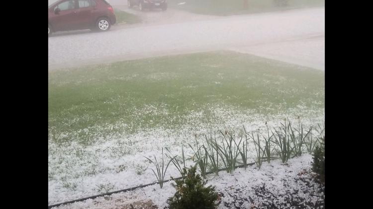
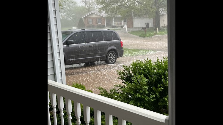
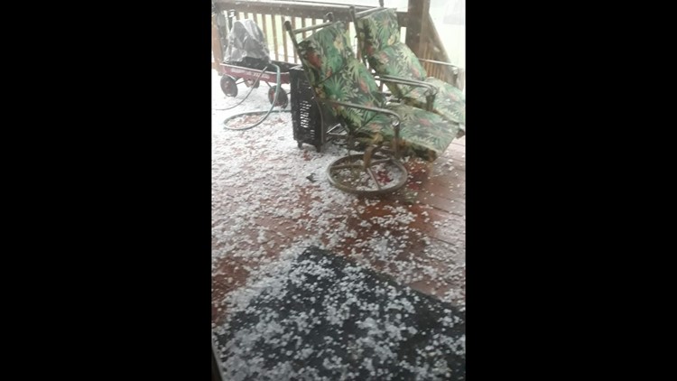
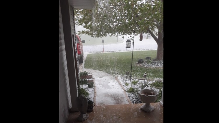
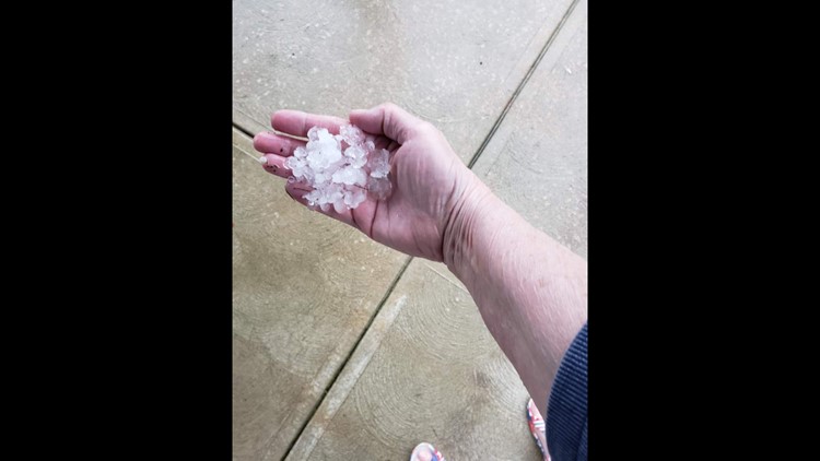
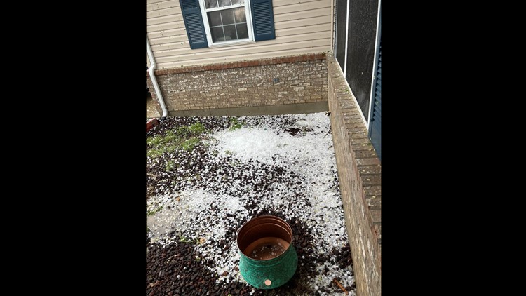
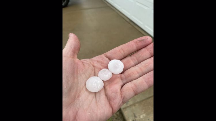
There were reports of pea-sized hail in Wentzville.
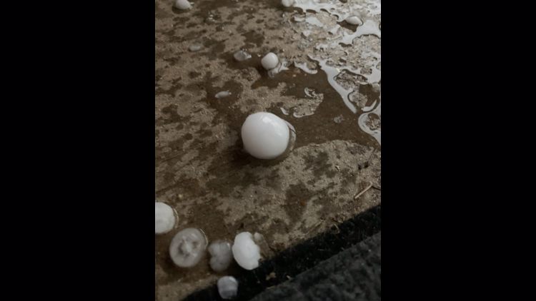
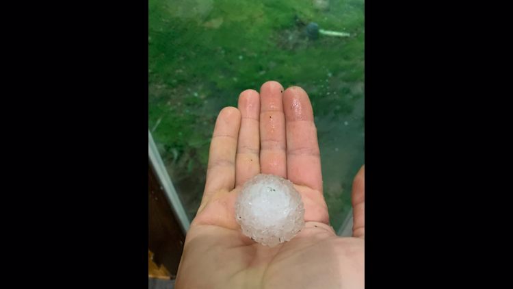
Troy, Missouri, had hail as well.
Update 5:15 p.m.
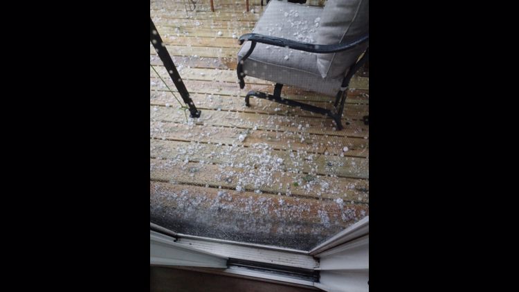
Additional thunderstorms continue to develop to the west of St. Louis and also farther to the south. Hail remains the greatest threat. Gusty winds will also whip around some of the hail. As these storms move into your area, stay inside and away from windows and doors.
Previous Story:
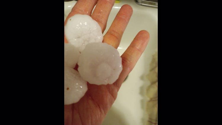
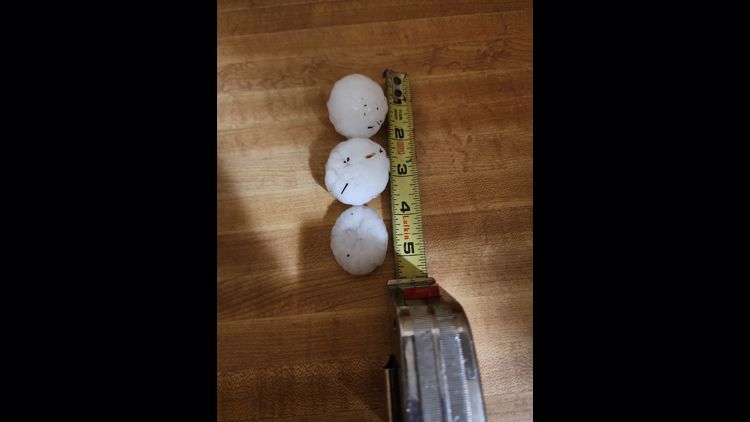
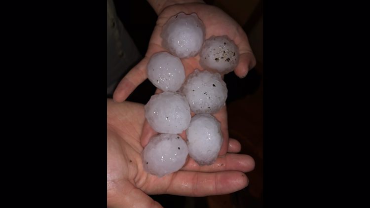
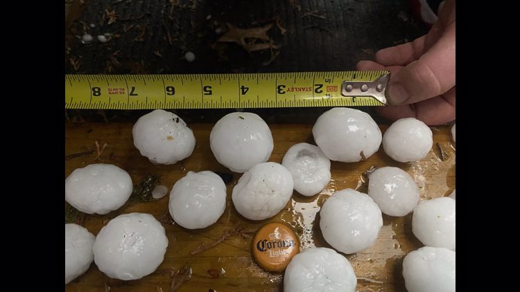
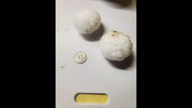
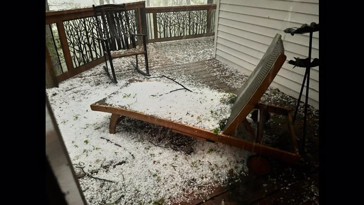
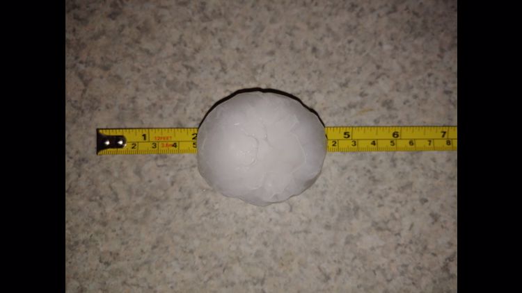
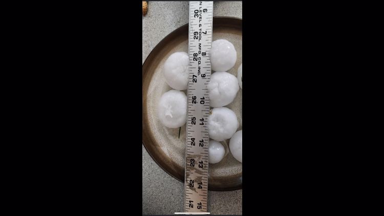
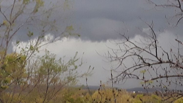
Scattered large hail and isolated hail events up to 2 inches in diameter are possible, as well as the possibility of scattered damaging wind gusts up to 70 mph. A tornado or two is also possible within the areas under the thunderstorm watch, though the threat is low.
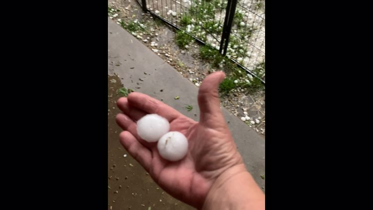
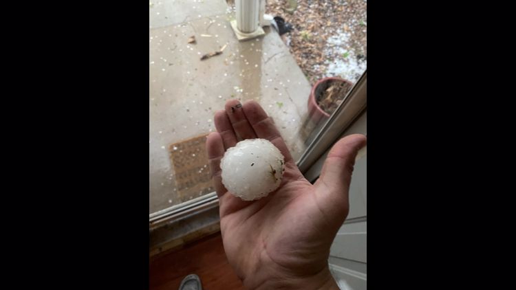
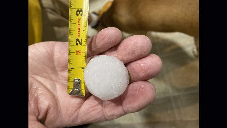
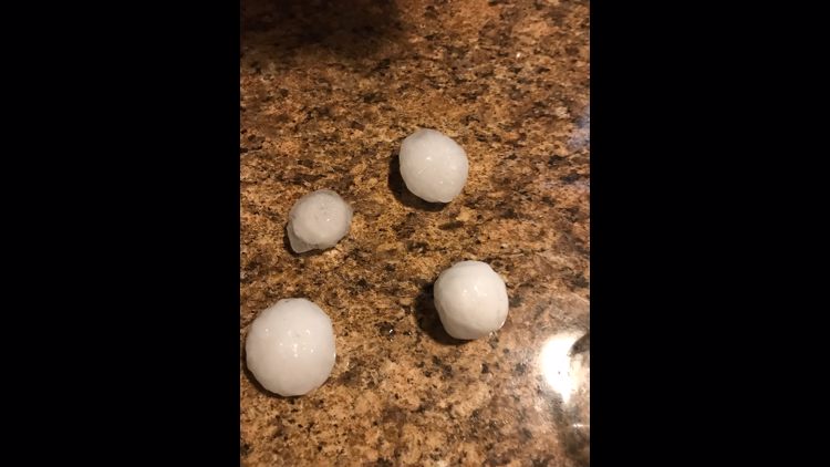
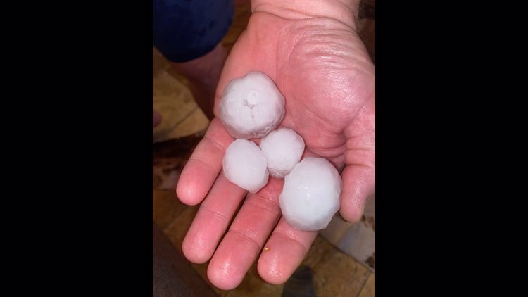
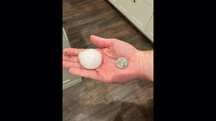
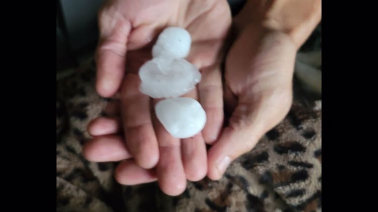
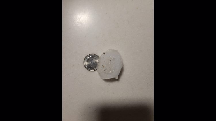
Lincoln County was under a Severe Thunderstorm Warning, with ping pong ball-sized hail reported in Troy, Missouri at around 4 p.m. The warning will likely extend into Calhoun and parts of Greene and Jersey counties as the storm presses northeast.
The last several days have been a wild ride for the St. Louis area. From 12 confirmed tornadoes Saturday to much colder conditions over the last few days, we've nearly seen it all.
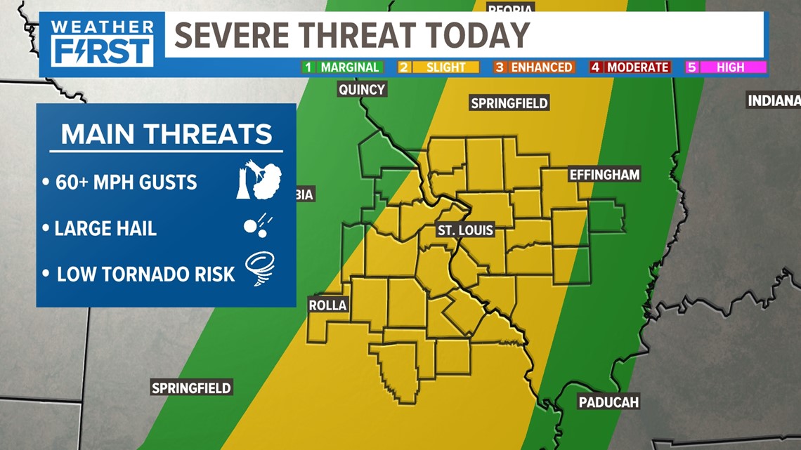
But the major temperature swings are a big part of severe weather threats in our region this time of the year, and we're due for another swing in the next few days. That has put most of us at a marginal to slight risk for severe weather Thursday afternoon. The St. Louis area and points south are in the level two of five risk.

Unlike the last severe threat on Saturday, many of the ingredients aren't in place to trigger a large-scale severe weather threat.

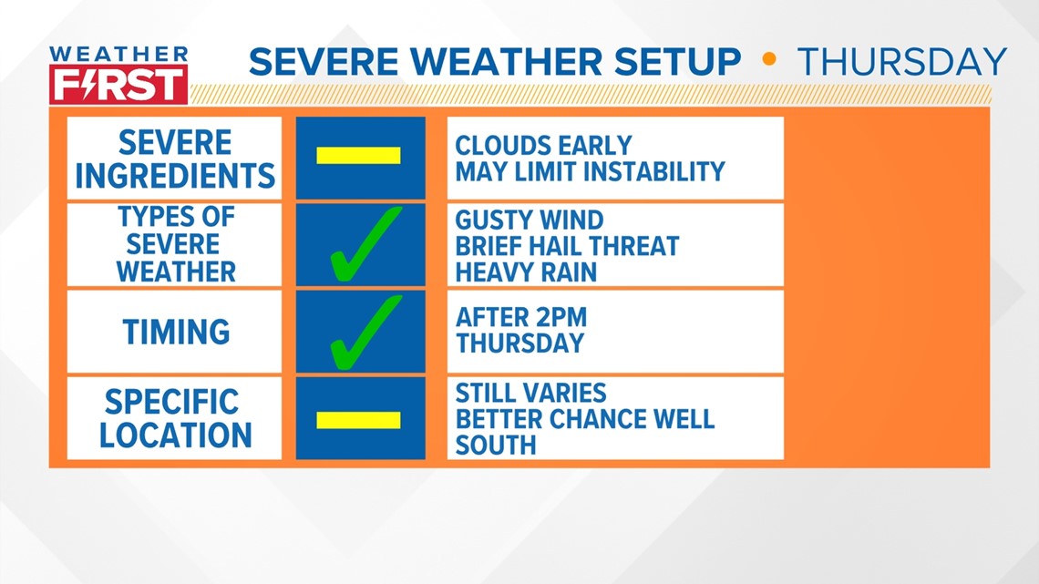
Early clouds and isolated showers may limit an even smaller window of instability we already had. The amount of moisture returning ahead of this weather system may be a limiting factor in how strong the storms become. The types of severe weather seem pretty certain at this point: a brief window for some larger hail before a straight line wind gust threat for a few hours.

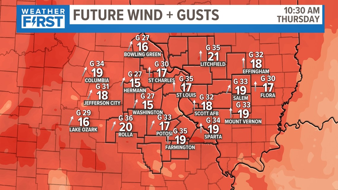
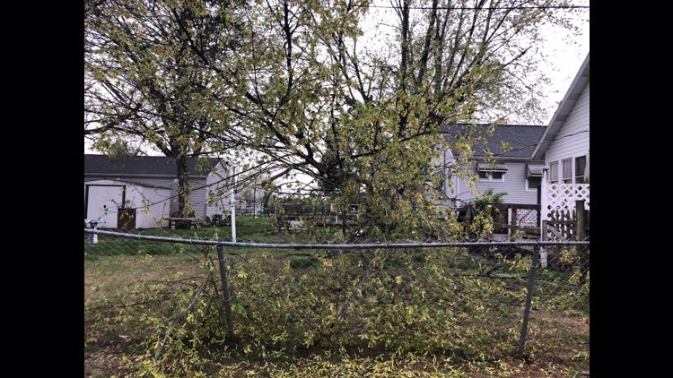
But it's already going to be windy ahead of this front's arrival. Wind gusts will already approach 40 mph, so it won't take much for us to get to 60 mph wind gusts in a few thunderstorms.

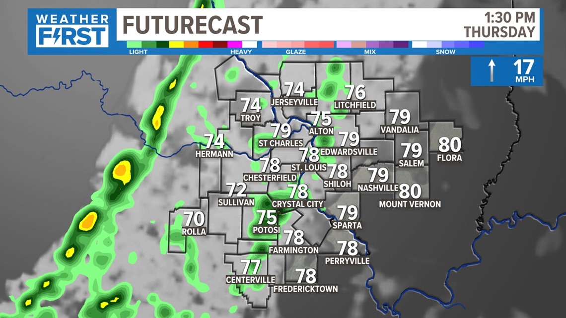
Temperatures will be plenty warm, but the widespread severe ingredients from last storm aren't quite in place. As the front moves in, stronger storms will develop.

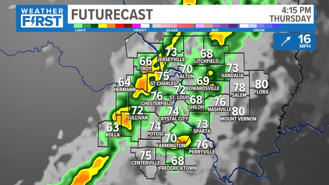
As the main line of storms moves in, it's possible there will be some areas of nickel or quarter-sized hail briefly, but this will be short-lived. The tornado threat is very low this time around, with a better chance for straight-line wind gusts.

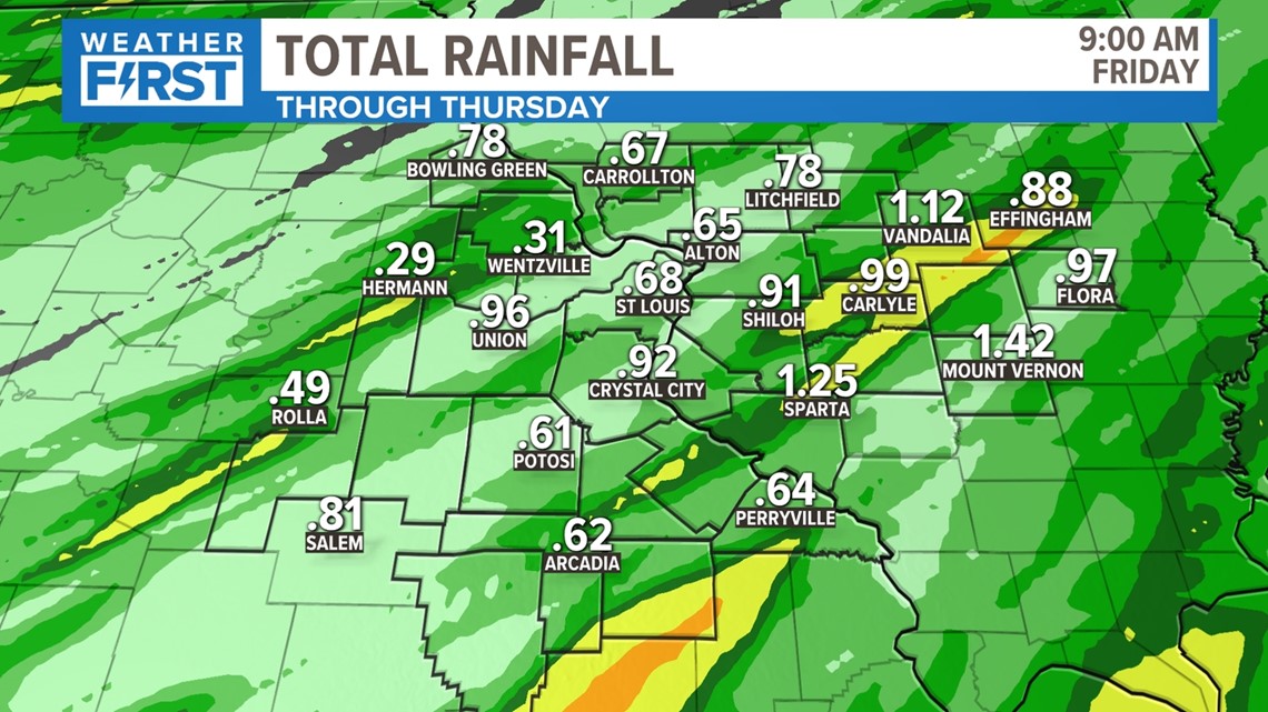
Rainfall totals look to be at least 1/2 inch of rain area-wide, with some totals over an inch or even 1.5 inches as the front moves through the area and stalls to the south. Storms will move over the same direction and add up rain quickly before this moves through after midnight.

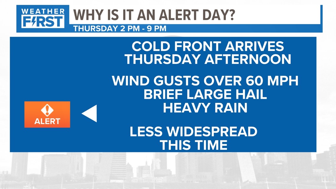
Thursday afternoon is a Weather Alert Day because of the low-end threat of severe weather.
A couple of important things to note this time around: this will not be anywhere near as widespread, and don't expect tornadoes to impact us like last time. Wind gusts and smaller hail are the main threats. We will keep you posted Thursday morning and let you know if any of the current conditions in the atmosphere change this thought process, but this seems to be the consensus this time around.
The Weather First Team uses "Storm Alert" to refer to life-threatening or major-impact weather conditions in our region. "Weather Alert" refers to nuisance or disruptive weather and is indicated by orange icons and bars in our weather graphics on TV and online.
For the full forecast from 5 On Your Side's Weather First team, click here.
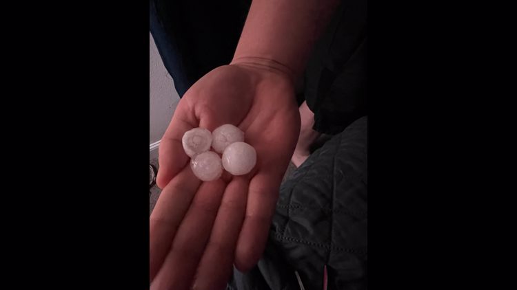
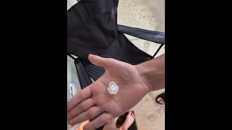
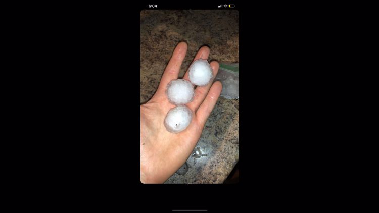
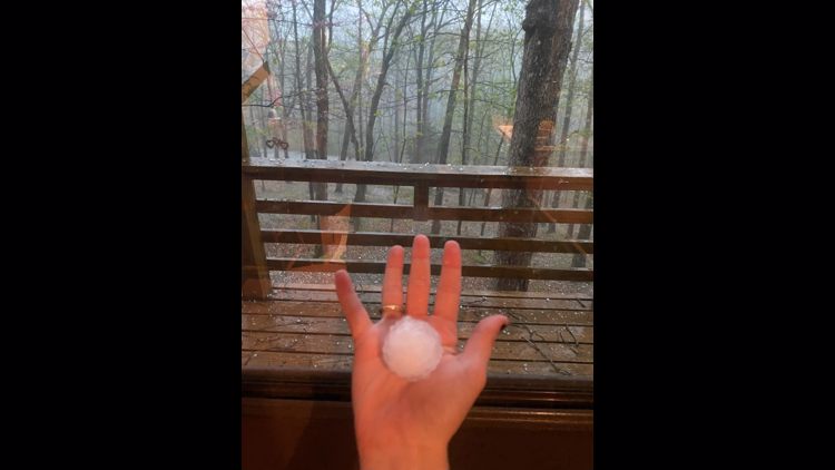
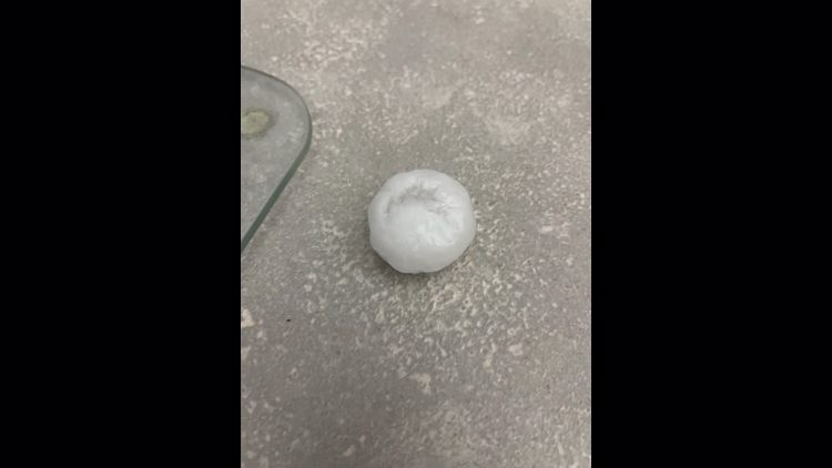
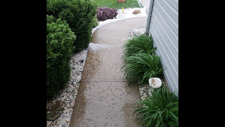
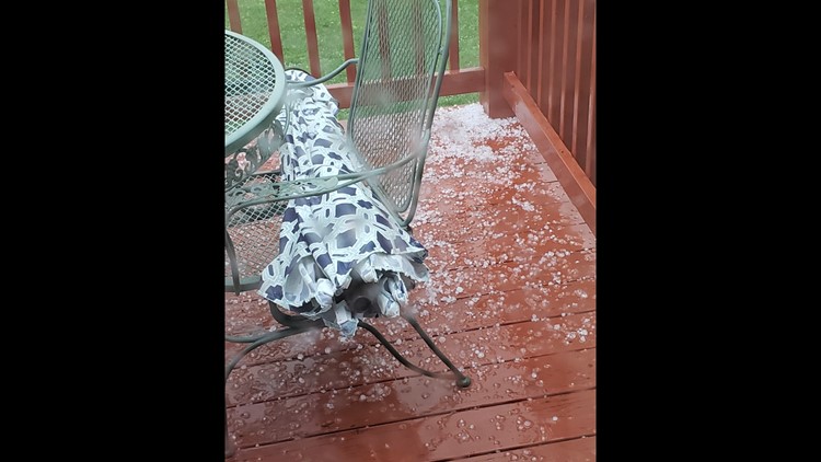
Viewer photos: Hail around St. Louis region


Download the free 5 On Your Side app to get the latest watches and warnings and track conditions live with our interactive radar. Use the links below to download now.
5 On Your Side news app
iPhone | Google Play