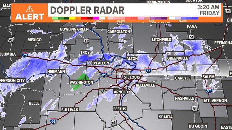
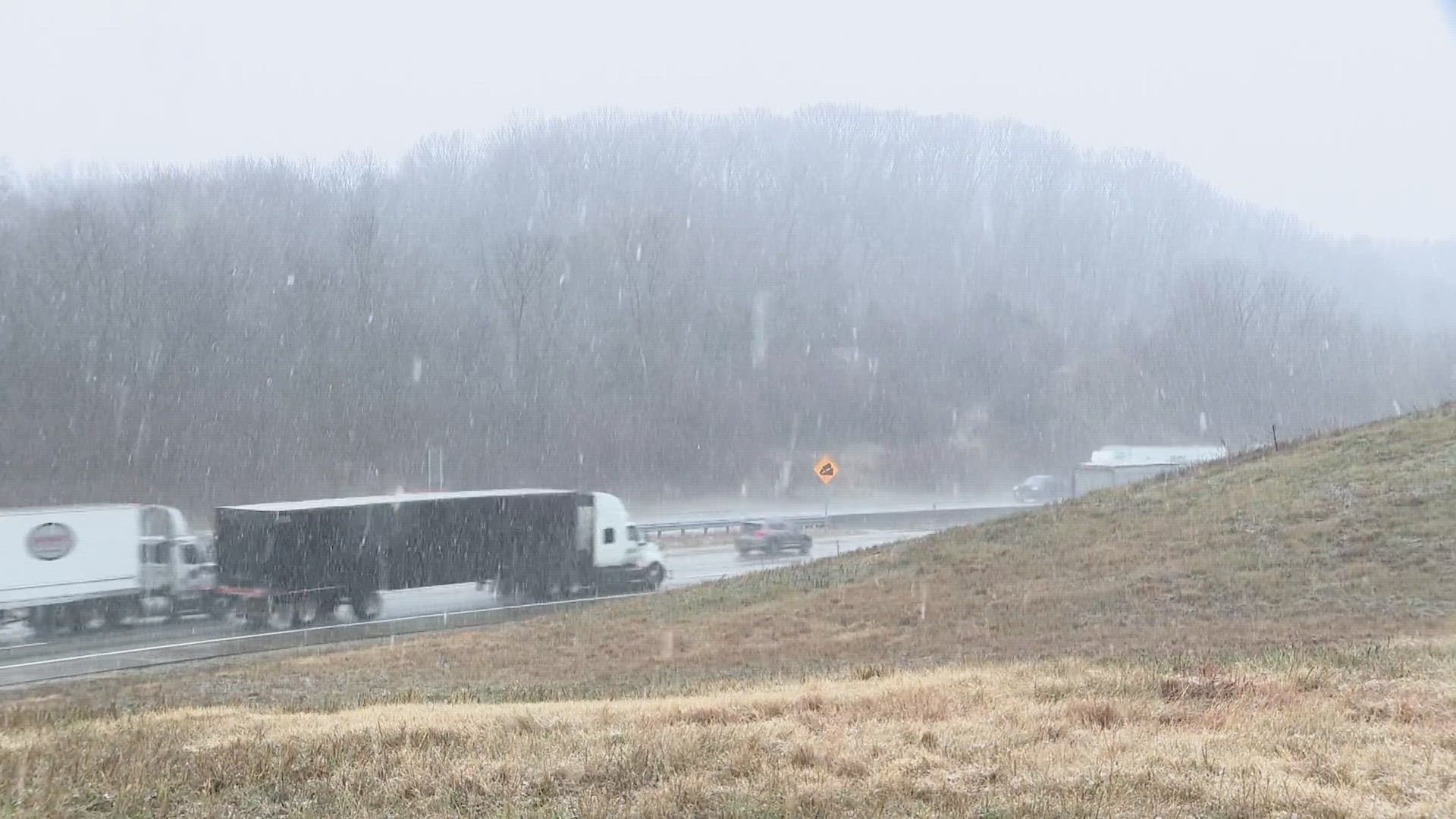
ST. LOUIS — Another round of snow showers continues Friday morning. With ground temperatures closer to freezing, some accumulation is possible.
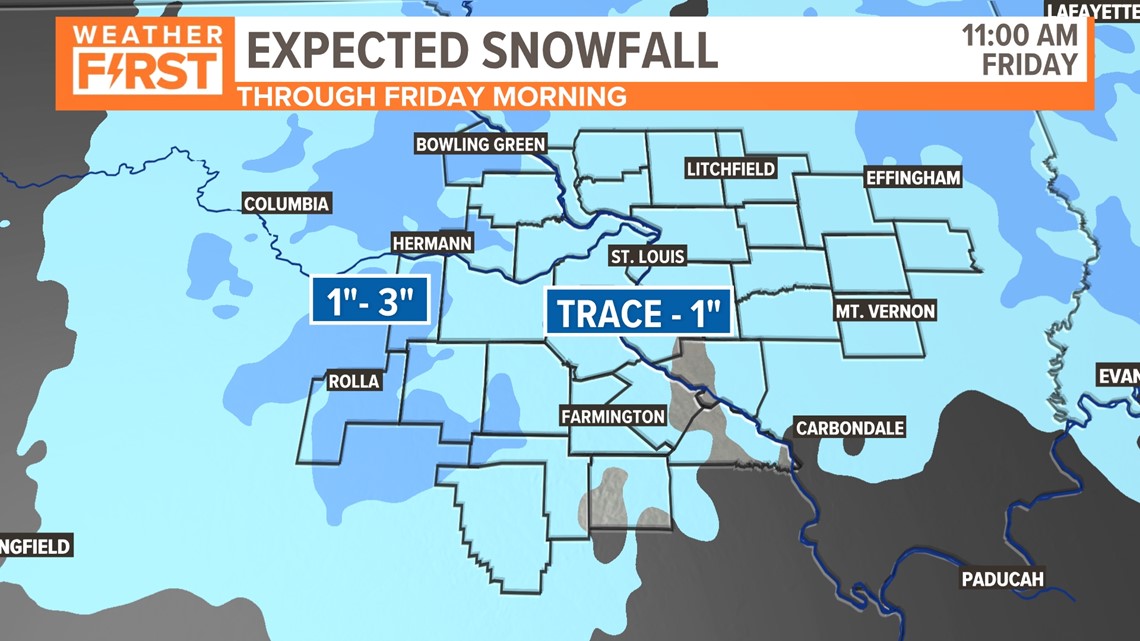
Most locations in our area will see a trace up to 1" of snow accumulation, mainly on grassy and elevated surfaces, but this will be tough to measure as it quickly melts due to the warm ground temperatures and air temperatures above freezing, overall.
Remember to use extra caution on bridges, overpasses, and elevated surfaces through the Friday morning commute.
Some areas west of St. Louis could receive 1" to 3" of snowfall. Snow should melt through the day with temperatures climbing up near 40 by Friday afternoon.

Dry weather is expected to return this weekend into next week.
Download the free 5 On Your Side app to get the latest watches and warnings and track conditions live with our interactive radar. Use the links below to download now.
The Weather First Team will use "Storm Alert" to refer to life-threatening or major-impact weather conditions in our region. "Weather Alert" refers to nuisance or disruptive weather and is indicated by orange icons and bars in our weather graphics on TV and online.
5 On Your Side news app
iPhone | Google Play
To watch 5 On Your Side broadcasts or reports 24/7, 5 On Your Side is always streaming on 5+. Download for free on Roku or Amazon Fire TV.