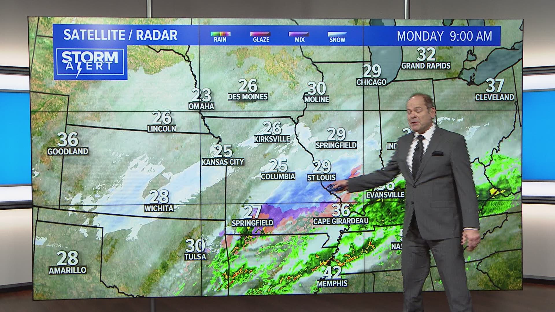
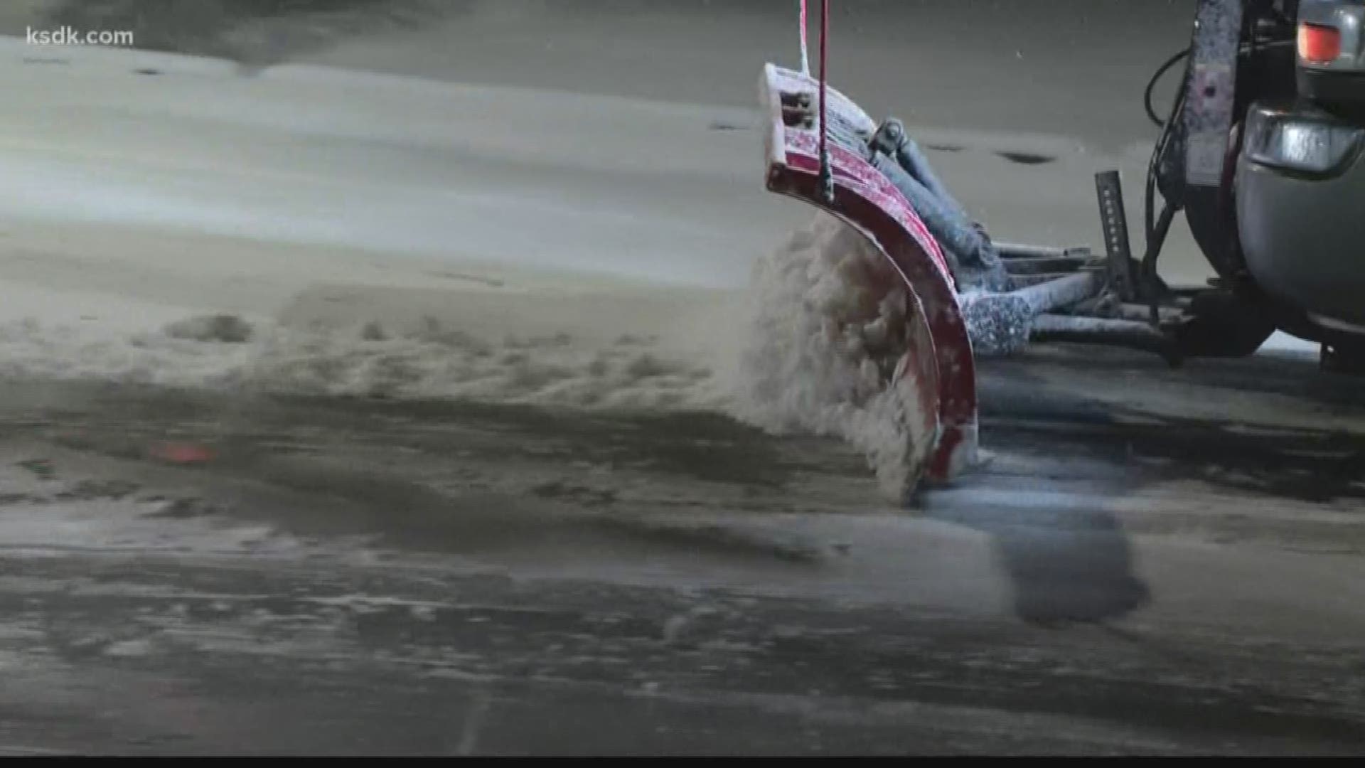
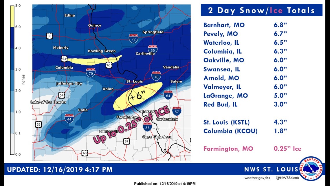
ST. LOUIS — Another band of heavy snow moved across Missouri and Illinois early Monday afternoon. Locally more than five inches of snow fell from the heavier bands, mainly just south and southeast of St. Louis. Two-day snowfall totals are over six inches for some areas, especially in a band just south of St. Louis.
RELATED: Daughter of good Samaritan speaks out after her mother was killed helping a stranded driver
RELATED: Go-to weather guide: Everything you need to know about closings, traffic and when the snow will stop
The National Weather Service in St. Louis tweeted out a map of snowfall totals through early this afternoon showing the variability in how much snow fell across the region.

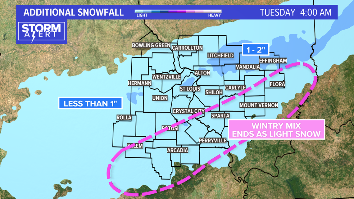
Additional snowfall through the evening will be much slower to accumulate with less than an inch of additional snow expected.

Download the free 5 On Your Side app to get the latest watches and warnings and track conditions live with our interactive radar. Use the links below to download now.
5 On Your Side news app
iPhone | Google Play
RELATED: Live interactive radar
The back edge of the snow will be moving in from the west during the evening hours.

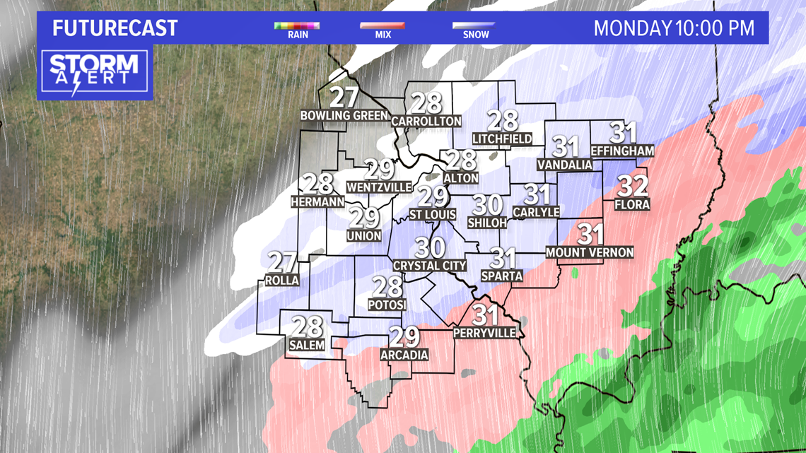
After midnight, only a few flurries are expected to remain. Temperatures will drop into the lower 20s by daybreak. Untreated surfaces will likely freeze and even treated surfaces may become slick once again.

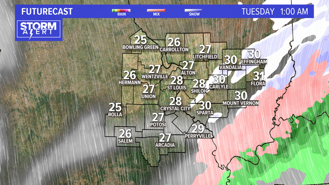
MoDOT and IDOT will have crews working through the night preparing for Tuesday morning's commute.

