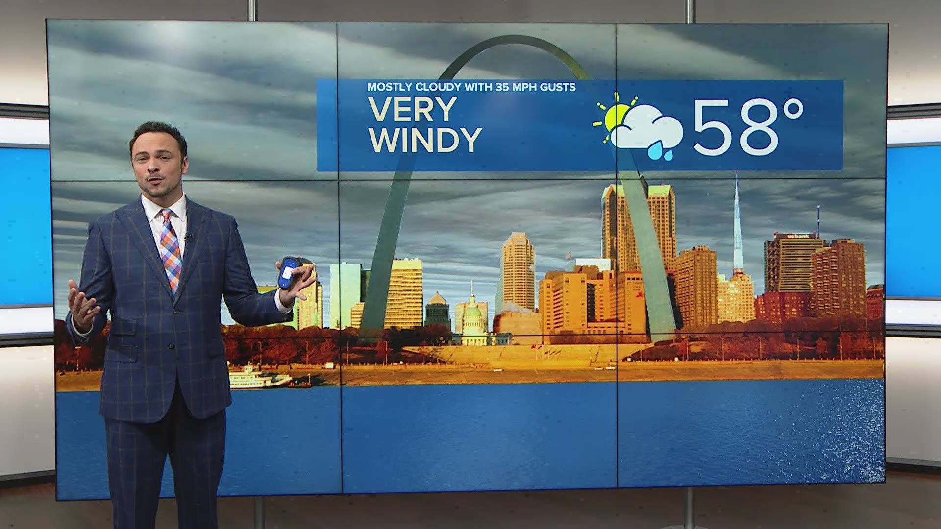
ST. LOUIS — After some downright gorgeous days, the winds of change arrive Thursday. Winds will be gusty through the day with gusts up to 35 miles per hour possible. Thursday's wind will be out of the south.
Showers will start up early in the afternoon Thursday and not let up until Saturday. Despite the clouds and the rain, temperatures will still make it into the mid-50s.
Friday, there will be scattered thunderstorms around with widespread heavy rain Friday night into early Saturday morning. There also is a marginal risk for severe storms to develop Friday evening & Friday night as well. The main concerns with these thunderstorms will be damaging wind gusts and the slim possibility for an isolated tornado.
5 On Your Side weather app
iPhone | Google Play
5 On Your Side news app
iPhone | Google Play

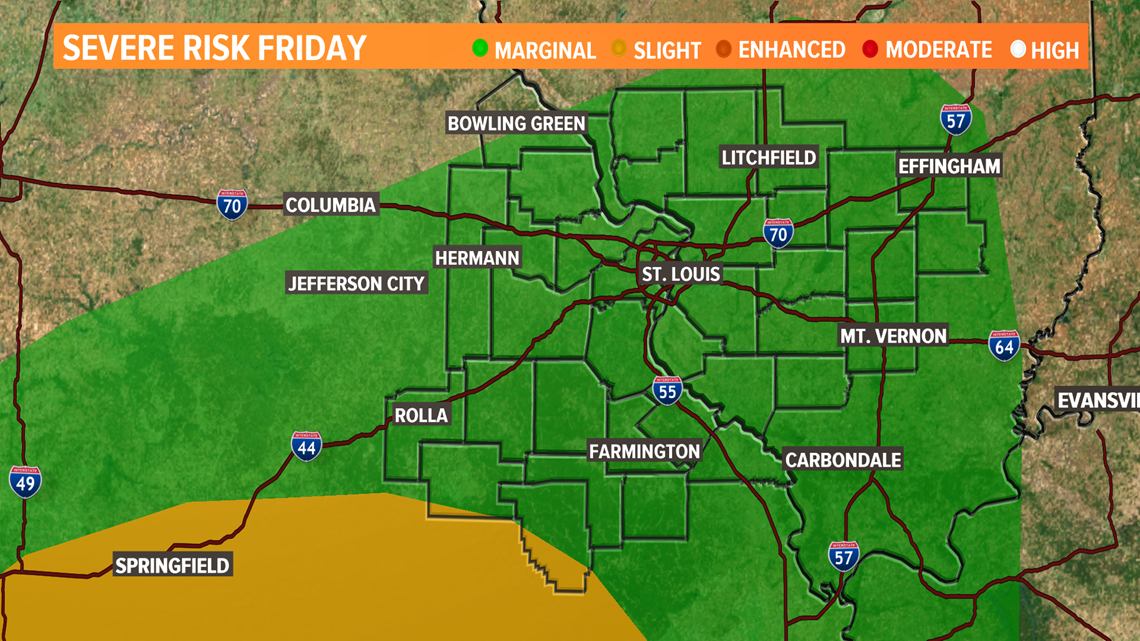
Whatever severe storms do develop will take a backseat to the effects of the heavy rain. Flash flooding is possible across all of the 5 On Your Side coverage area.
The National Weather Service has issued a flash flood watch ahead of this system. River flooding is also possible along the Meramec, Cuivre, Illinois and Kaskaskia rivers.

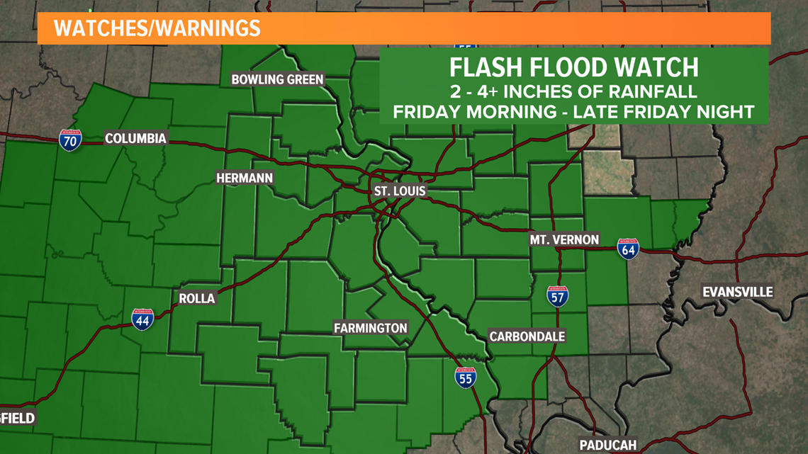
Two to four inches of rain is in the forecast, but a few isolated areas could see even higher totals as a result of this thunderstorm activity. Usual ponding problem areas will cause issues and streams may overrun their banks.

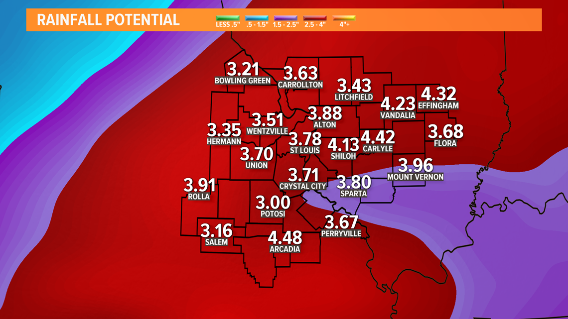
Friday's heavy rain is a much bigger concern for St. Louis than the light snow that will also be part of this system. Snowfall amounts will be limited for the St. Louis metro area.

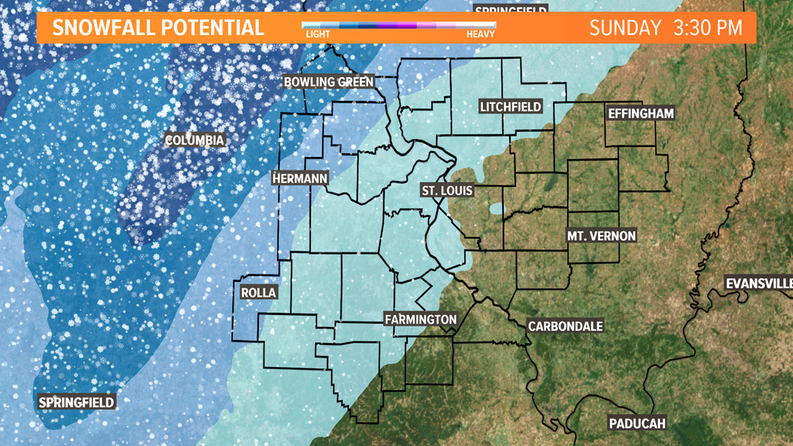
Rain will turn to snow Saturday afternoon and result in very light snow over St. Louis with dusting to 1 inch possible. Phelps, Gasconade, Montgomery, Warren, Lincoln, Pike, Calhoun and Greene counties may see 1 to 2 inches. Snow will come to an end Saturday night.

