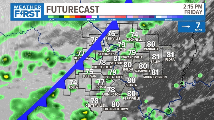
ST. LOUIS — It's been an excellent last couple of days with lower humidity and temperatures right around 80.

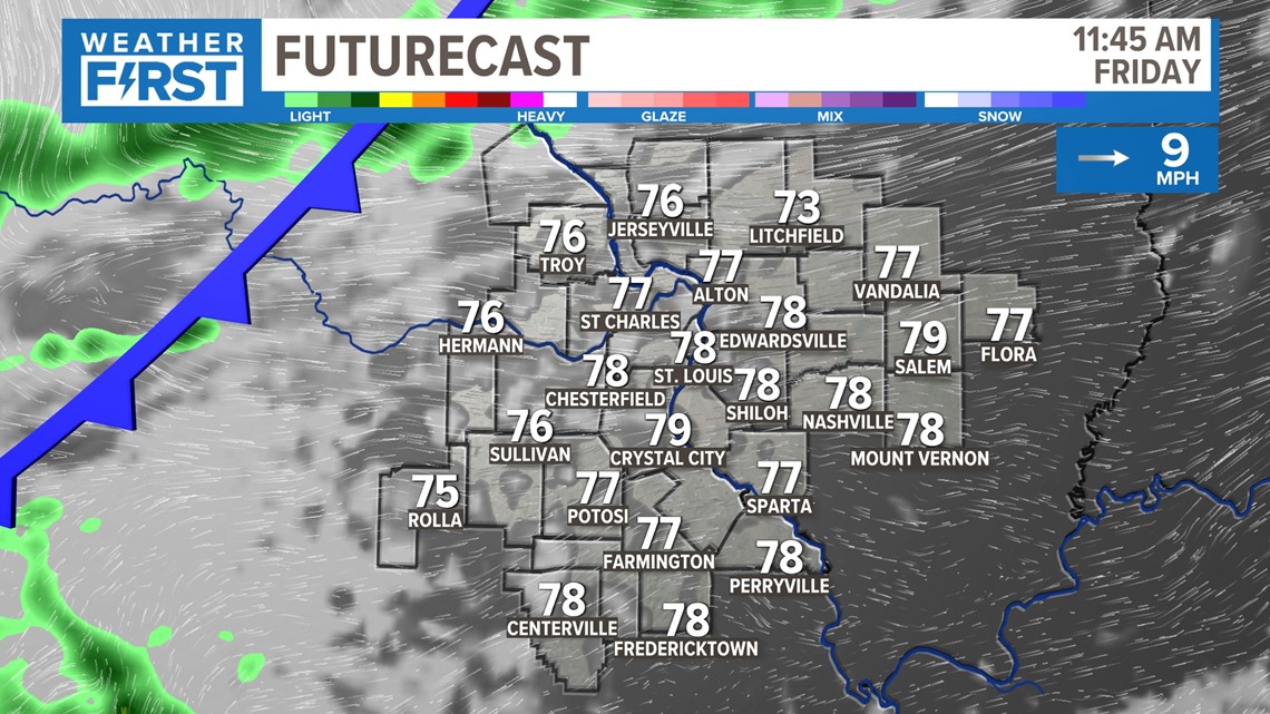
Our gradual transition to summer is still working out nicely at this moment, and that trend continues heading into the weekend. But we're eyeing our next cold front to deliver rain and cooler temperatures heading into the weekend.


Unlike some of these May cold fronts we are accustomed to accompanying a severe threat, this won't be the case. Scattered showers and a few thunderstorms are possible by Friday afternoon as this cold front moves through the area. While not a lot of rain is expected, this time of the year is the month we rely on for the most rain all season statistically.
There should be more rain by your evening commute and right near sunset. This won't be the flooding rain that we had in many locations the other day, but it will certainly be enough of a nuisance that you'll need an umbrella and a plan B for outdoor plans and graduations.

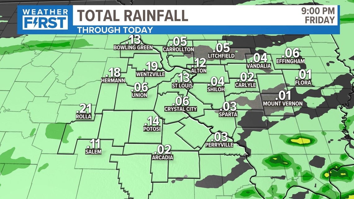
Rainfall totals will be much lighter than the other day. Most of us can expect a quarter of an inch or less, with a few isolated higher totals. This will be important rainfall as we head into a very dry stretch all the way through the holiday. This is currently our 43rd driest May to date.

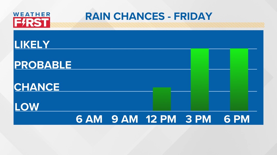
Your morning will be dry, but the afternoon rain chances should go up before the rain coverage moves on after 9 or 10 Friday night.

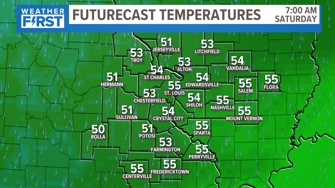
Behind that cold front, morning lows will range in the low 50s through the weekend. To give you an idea of how rare this is, if it's 50 or below, it's a top 25 cold morning in the St. Louis area, with many of the valleys likely to reach the 40s.
Enjoy it while it lasts... heat and humidity return next week.


