ST. LOUIS — We are just a few days into November and already tracking a couple more surges of cold air into the region in the next seven to ten days. The month started cold following the coldest high temperature ever recorded on Halloween. Even colder air is poised to settle in across Missouri and Illinois Thursday into Friday.
5 On Your Side weather app
iPhone | Google Play
5 On Your Side news app
iPhone | Google Play
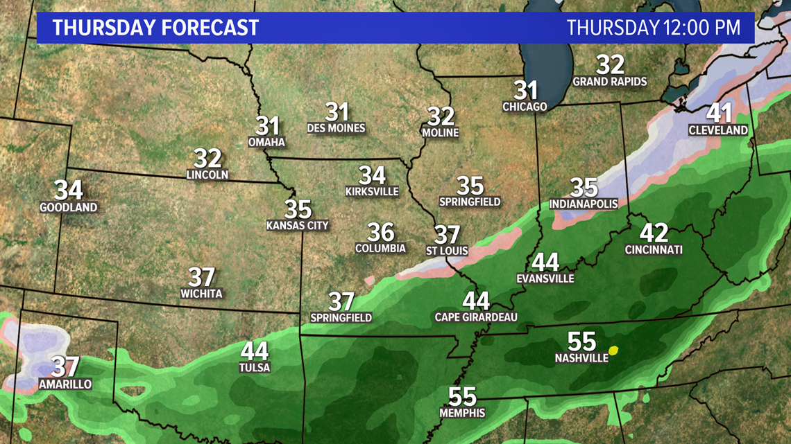
A southern storm system will bring a decent amount of rain to southern Missouri and southern Illinois. By Thursday morning, the cold air will be pressing south and causing at least a mix of rain and snow in some areas.
By midday, as the cold air deepens, the area of snow and rain could be across parts of the metro area.


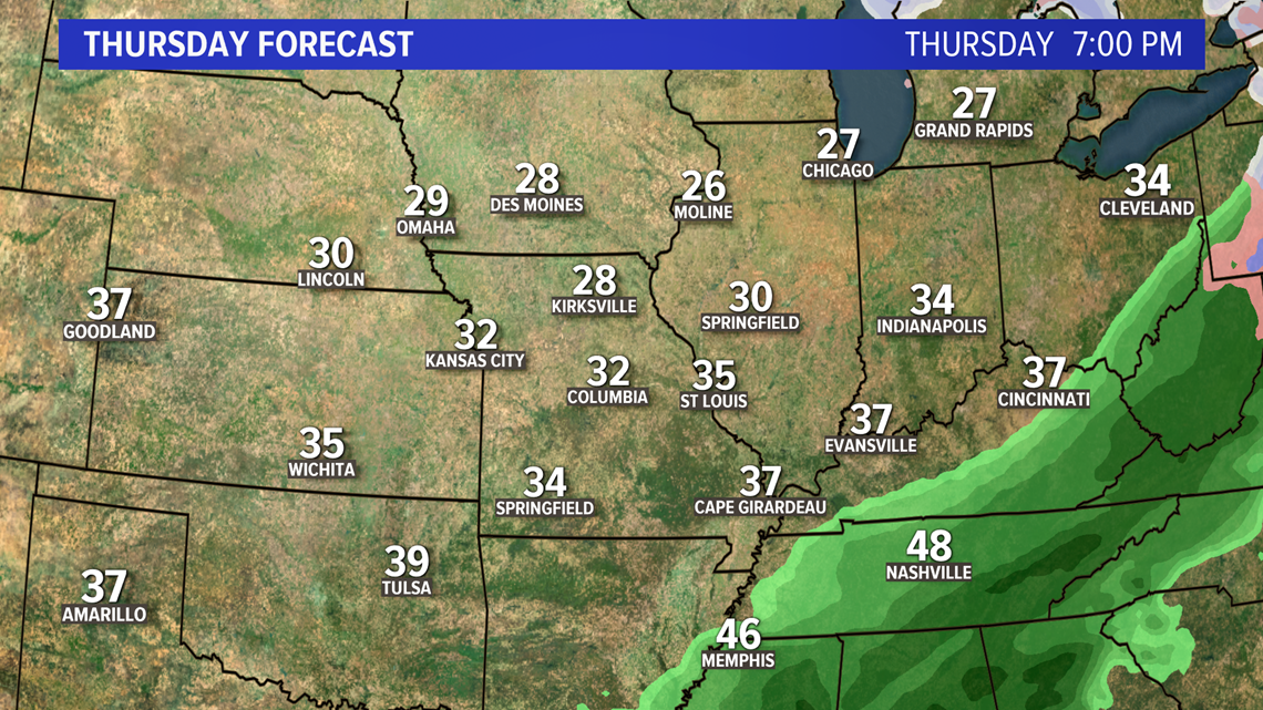
The chance of any snow sticking is pretty low since ground temperatures are still well above freezing. The shield of rain and any wintry precipitation will slide away during the afternoon into the evening.


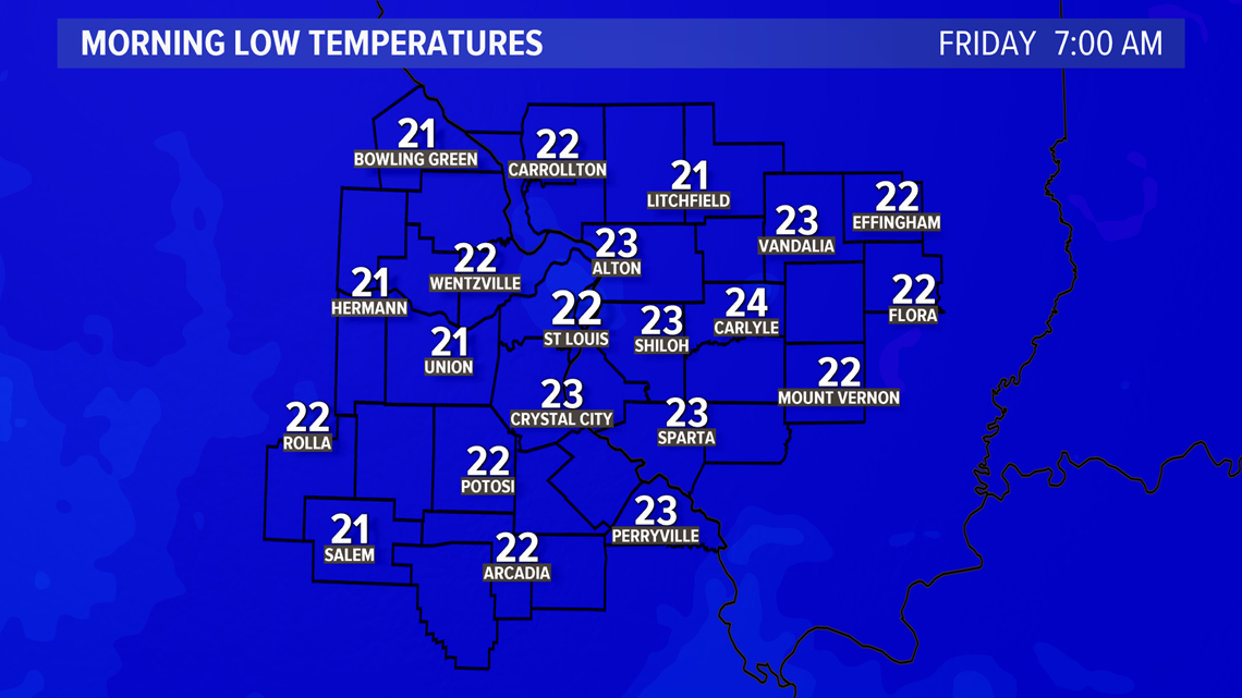
Gusty winds will drop wind chills into the 20s most of the day Thursday. By early Friday, wind chills will likely be in the teens as morning lows are expected to be in the low to mid 20s.


After briefly warming Saturday afternoon into the 50s, another shot of cold air will arrive during the day Sunday and sticking around through Tuesday night. Veterans Day looks quite cold with highs in the 30s, nearly 20 degrees below average for this time of year.
RELATED: Live interactive radar


