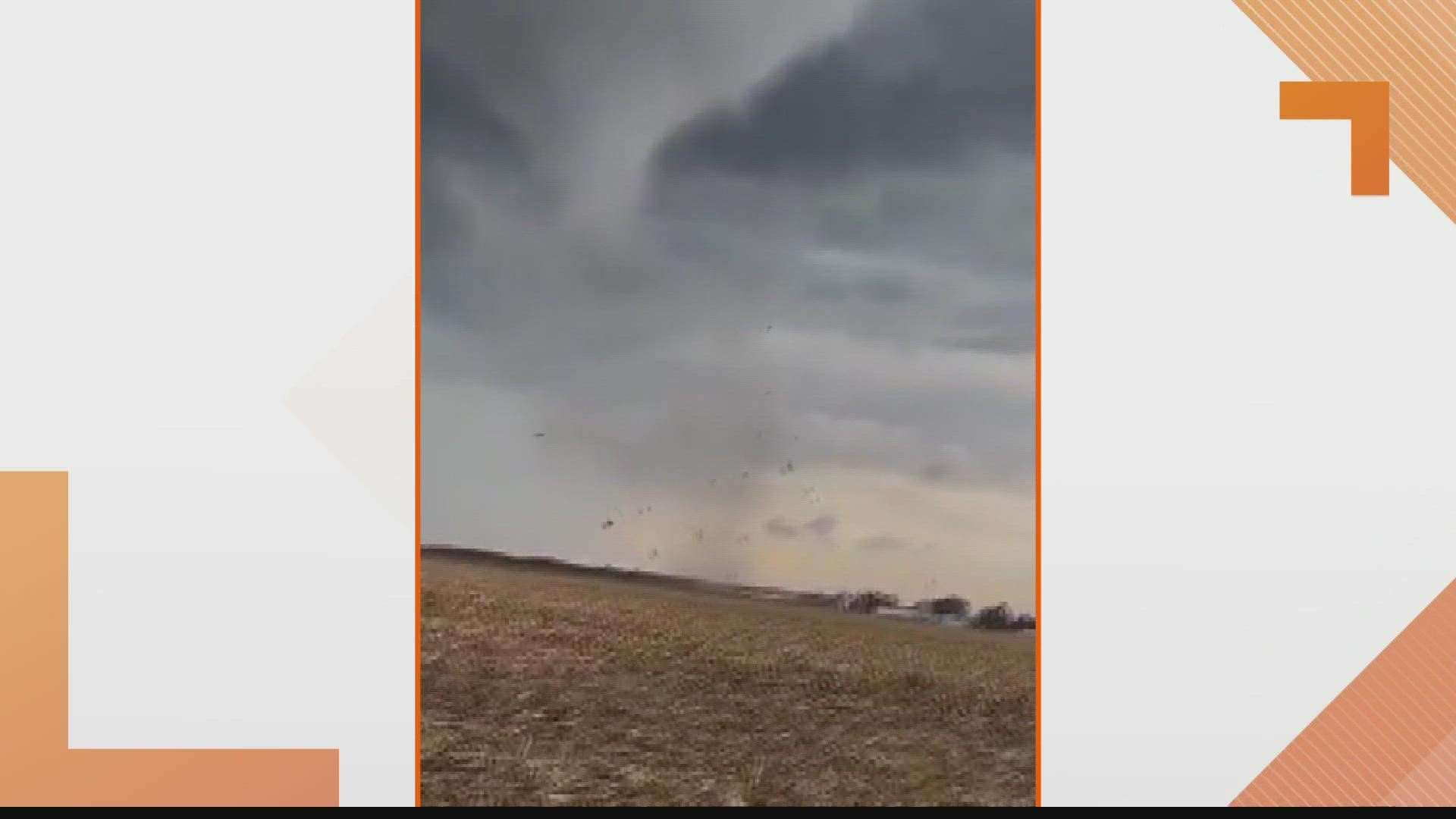
ST. LOUIS — The National Weather Service says Monday's tornado warning was expected to continue through 3:15 p.m. but was canceled after about 15 minutes.
The damage survey from the NWS says the strong EF-2 tornado touched down on the southwest side of the town of Wrights, IL Two new, well-built farm buildings were destroyed.
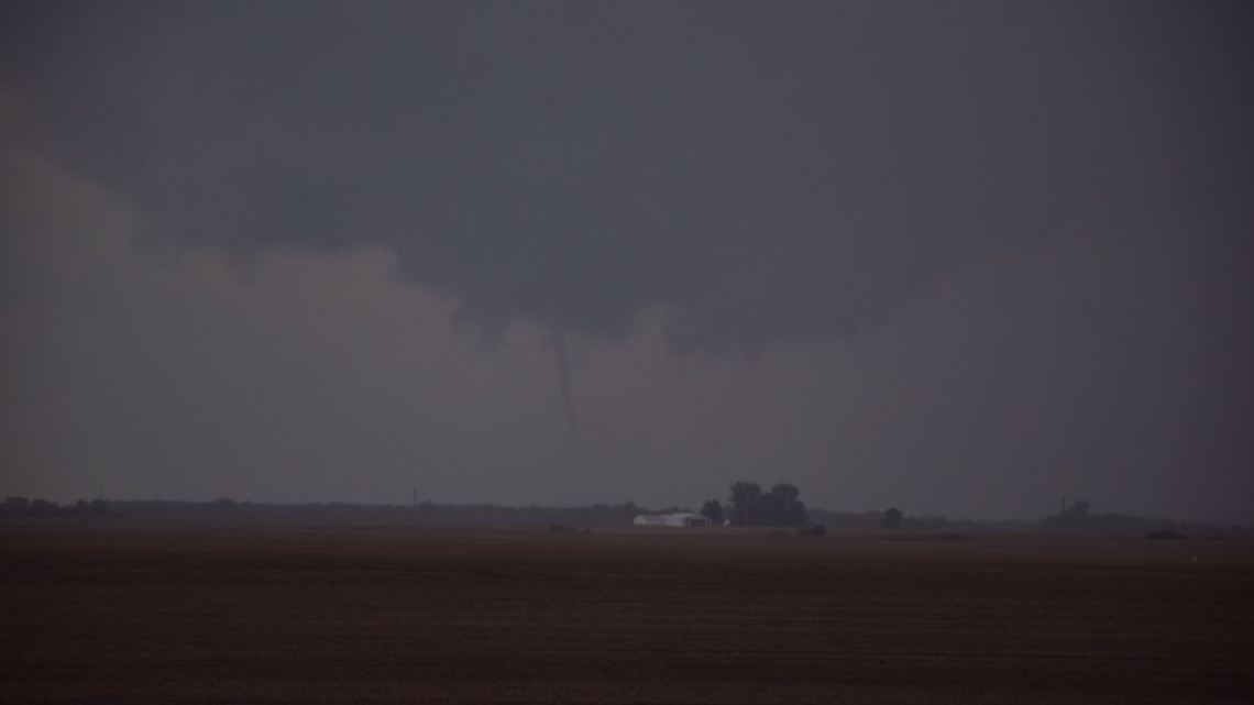
Below: 5 On Your Side obtained a photo of the a tornado near Athensville, IL from a storm spotter. The picture shows a dark sky with a funnel cloud reaching toward the ground.

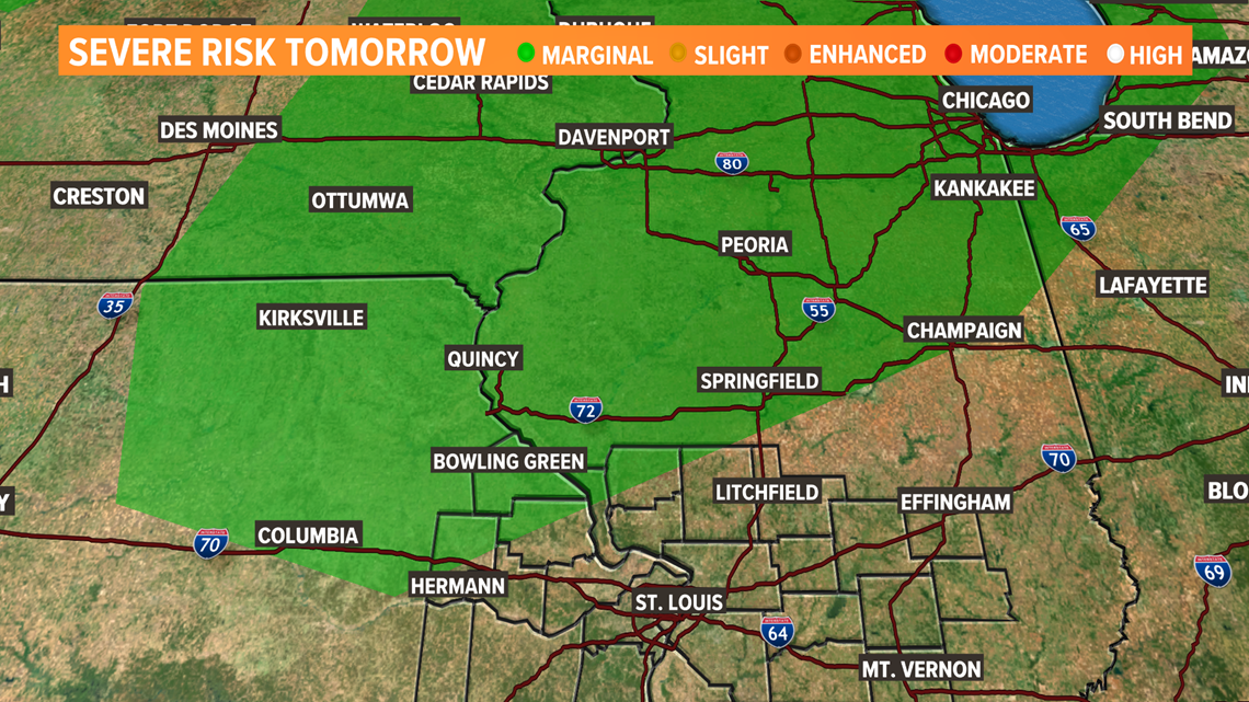
After a wonderful Tuesday, clouds are rolling into the area tonight and on and off showers and some thunderstorm activity is expected on Wednesday. There is a low level one Marginal risk of severe weather in the area in green, north of the metro. The greatest threat is from isolated strong wind gusts up to 60 mph. The most likely time to see severe weather will be from 2pm until 9pm. Stay weather aware.

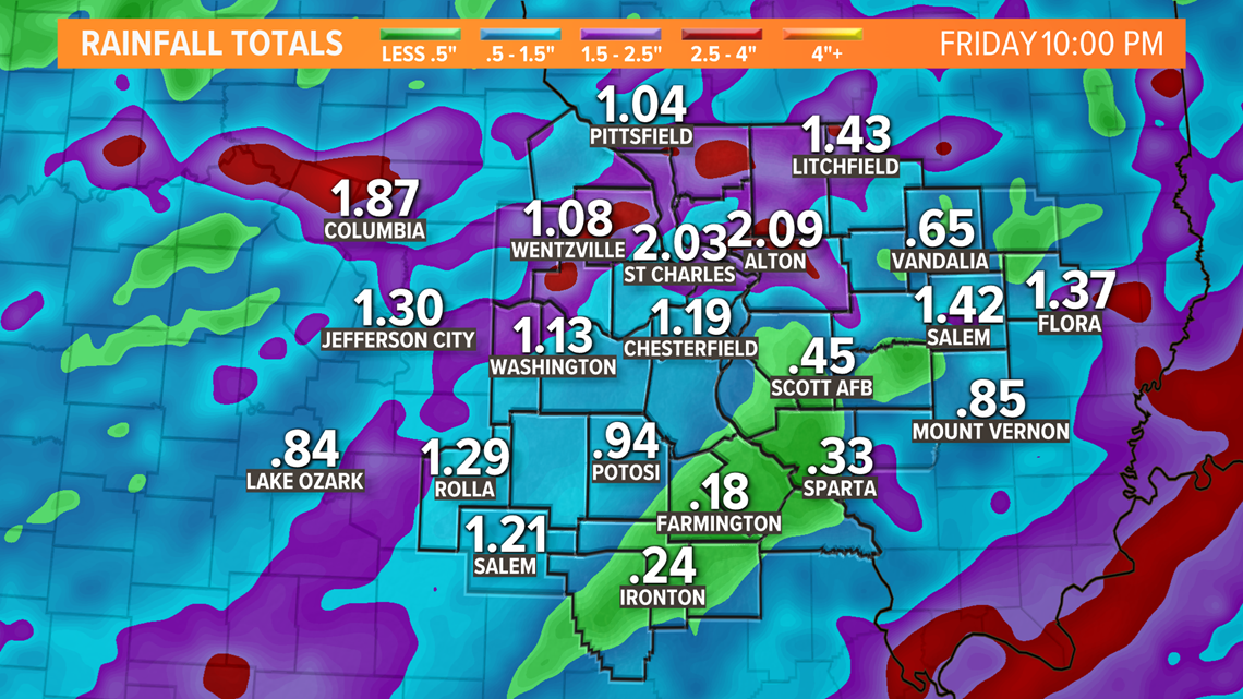
On and off showers and thunderstorms are likely Wednesday through Friday. Severe inches of rain could fall in parts of the area.

RELATED: Check our live interactive radar
Download the free 5 On Your Side app to get the latest watches and warnings and track conditions live with our interactive radar. Use the links below to download now.
5 On Your Side news app
iPhone | Google Play
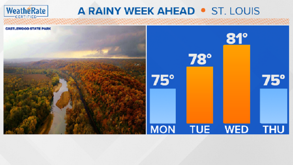
Tuesday is a dry day, but more rain returns Wednesday, Thursday and Friday.

