ST. LOUIS — Another round of spring showers and thunderstorms is expected to develop across the region by Thursday afternoon.
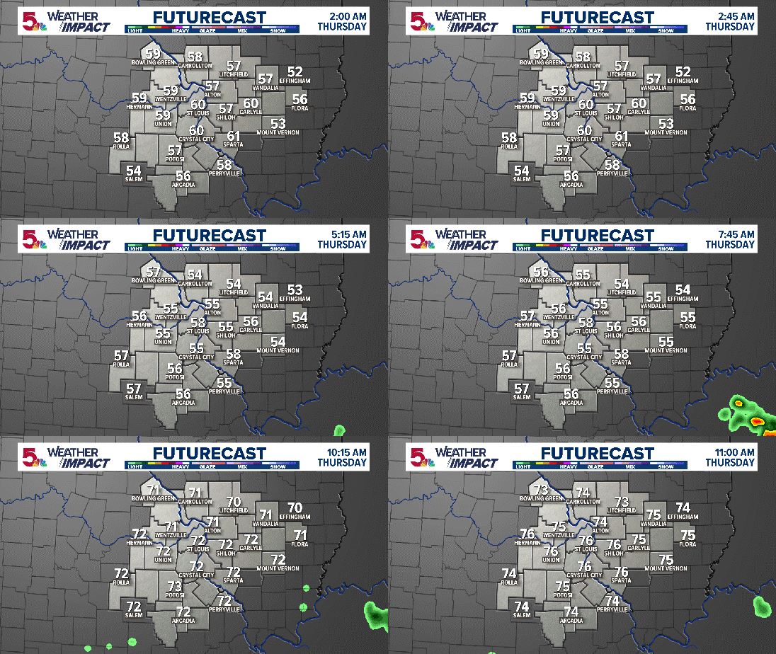
Storms will start to pop up this morning across Western and southern Missouri and will roll toward St. Louis through the early morning hours.
RELATED: Interactive radar


By 10 a.m. our western counties could start to see storms.
By noon-2 p.m., the metro and even southern Illinois could see them.
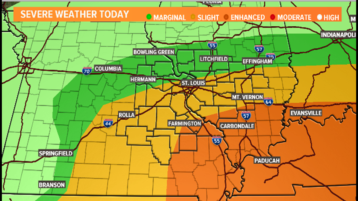
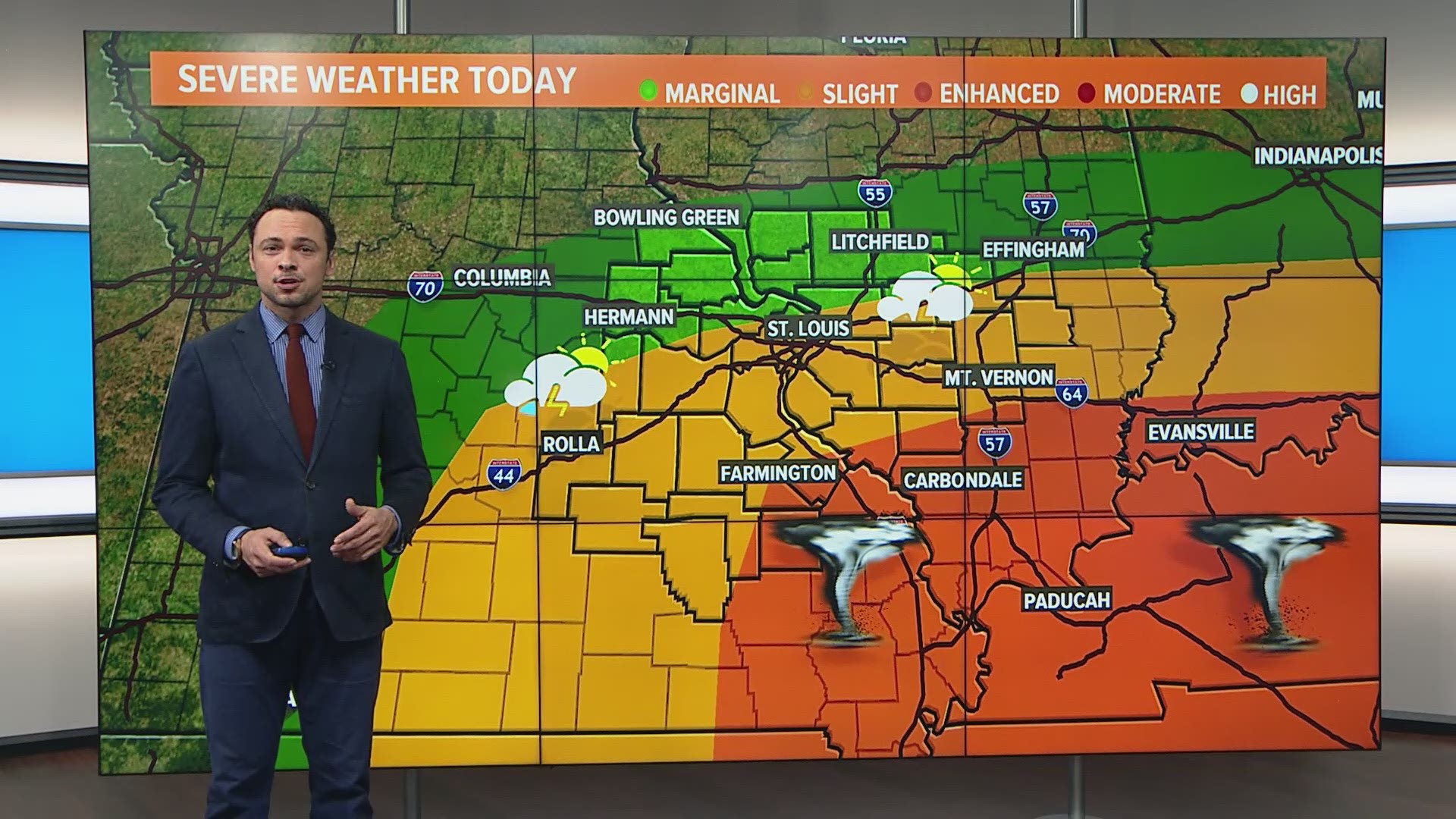
Today's main threats will be tornadoes, especially south of St. Louis from Farmington over toward Mount Vernon.
A cold front will be marching across the region Thursday afternoon. Strong winds aloft will help thunderstorms develop.

All severe weather threats are possible, including a few strong storms with large hail and damaging wind gusts. An isolated tornado or two is also possible.
The threat will diminish in our area by sunset Thursday.
Friday is likely dry with limited sunshine.

