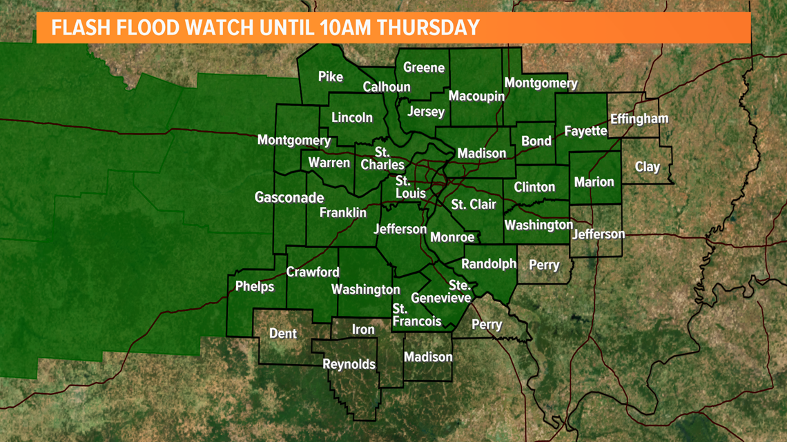
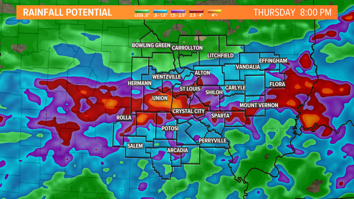
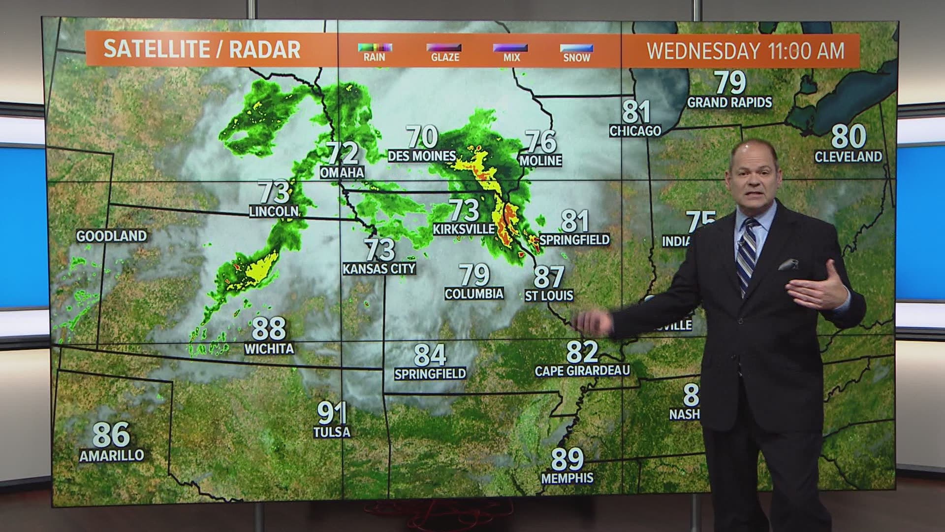
ST. LOUIS — Showers and thunderstorms will develop across much of the region later Wednesday evening through the overnight hours. The air is loaded with moisture and some of the thunderstorms will produce heavy rainfall. The National Weather Service has issued a flash flood watch which is in effect into Thursday morning.


While not everyone has experienced substantial rain over the last week or so, some areas around St. Louis have seen more than enough and the ground is still wet in some areas.
RELATED: Live interactive radar
With the storms moving across the region overnight, some areas may see two to four inches of rain with locally higher amounts possible. This amount of rainfall could result in flash flooding.


5 On Your Side weather app
iPhone | Google Play
5 On Your Side news app
iPhone | Google Play
The most widespread, heaviest rain will move south of St. Louis during the day on Thursday. Much cooler weather can be expected into the weekend.

