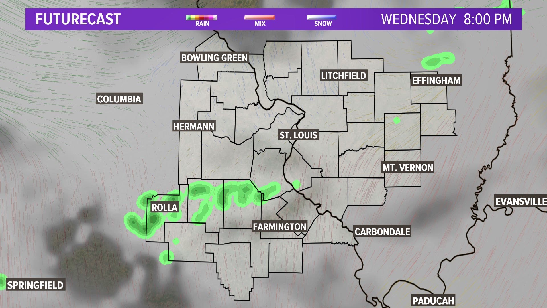
ST. LOUIS — Thursday will be a bumpy day in the bi-state. Storms will kick things off first thing in the morning around 4 a.m. Most of the morning storms will not be severe, but strong wind gusts and hail are a possibility.
There will be a brief break in the rain before round two rolls in. Severe storms will be possible between 4 p.m. and midnight.

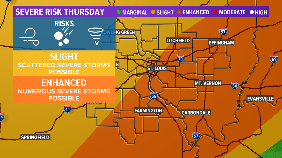
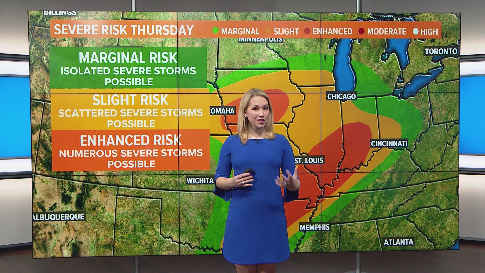
The Storm Prediction Center has placed St. Louis in an enhanced risk area for severe storms. Numerous severe storms are possible for the areas highlighted in orange above. For the counties highlighted in yellow — a slight risk — scattered severe storms are possible.

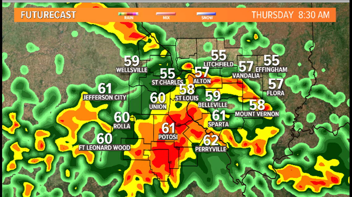
Thunderstorms capable of producing strong wind gusts, large hail and tornadoes are possible Thursday evening, especially southeast of St. Louis.

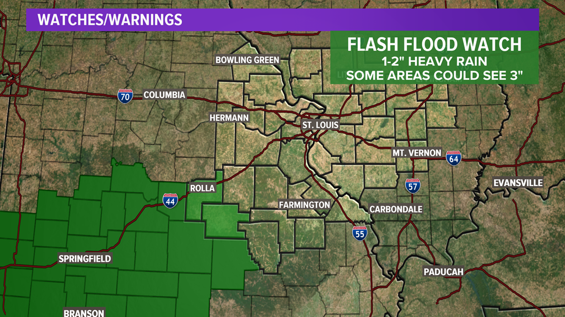
Dent and Phelps counties are under a flash flood watch from the National Weather Service. The watch expires at 7 p.m. Thursday. Thunderstorms moving over these counties could result in upwards of three inches of rainfall in a brief period of time. Streams and runoff areas can quickly be overwhelmed in these circumstances.
The video above is a rough estimate of when heavy rain and potential storms will track through the 5 On Your Side coverage area.
Tonight after 9 p.m. storms should be all gone from St. Louis and moving out of Illinois roughly around midnight.

