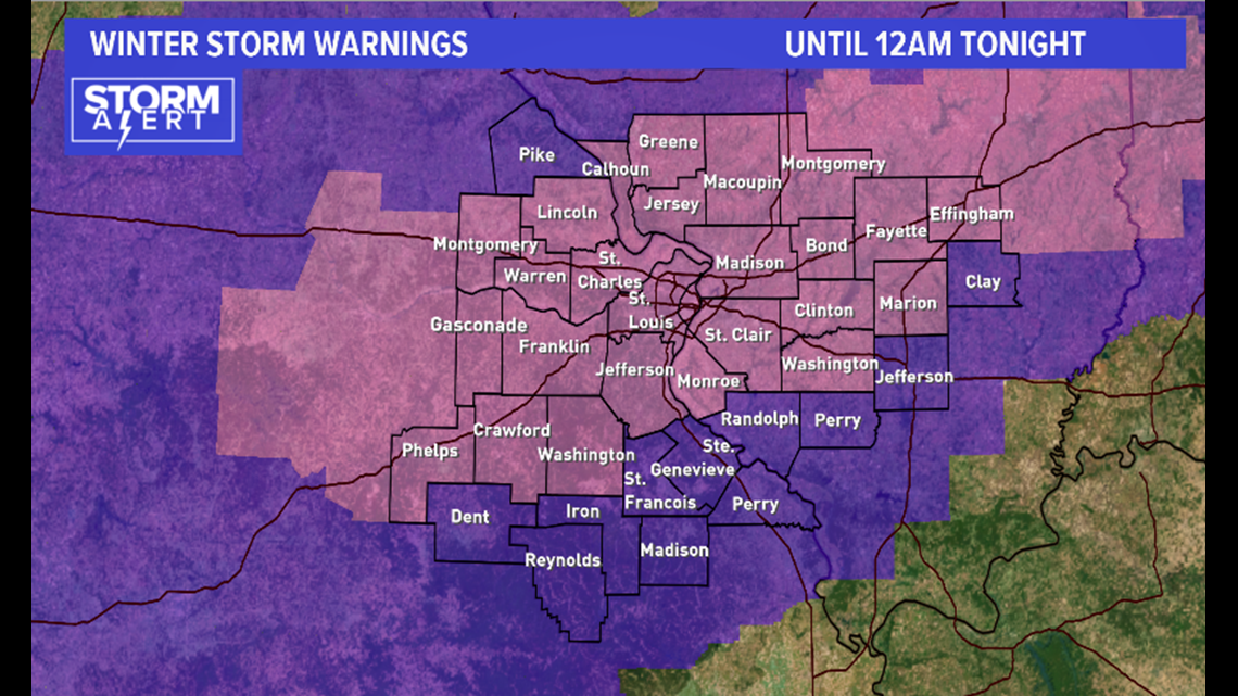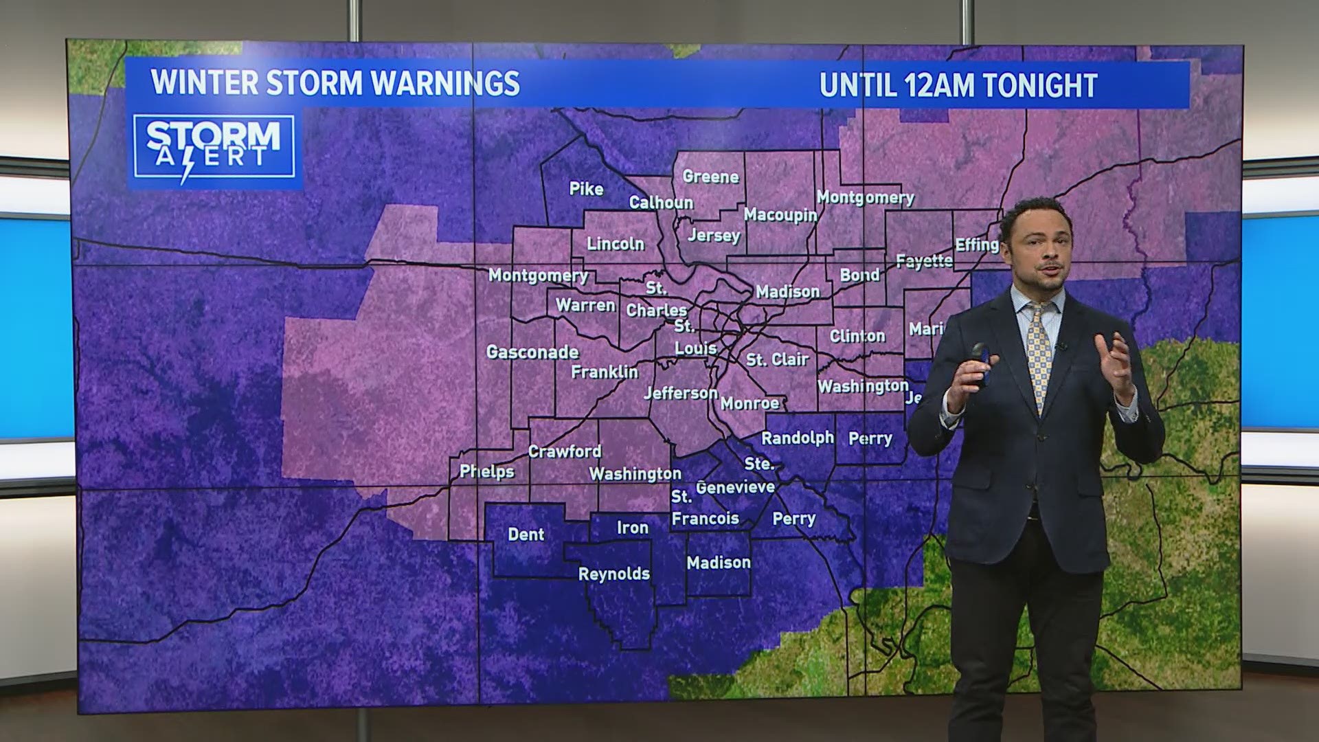
ST. LOUIS — A Winter Storm Warning is in effect for much of the area through Monday night at 12 am.
Round one of winter weather has blanketed parts of the St. Louis region with 2 to 4 inches of snow and a thin layer of ice that fell overnight.
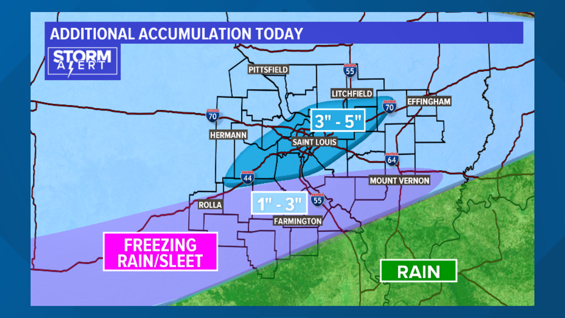
Now, get ready folks, because round two of winter weather should arrive between 9 a.m. and Noon on Monday. Heavy bands of snow will develop south of the I-44 corridor where freezing rain and sleet will mix in.
Moving South
From southern Jefferson County to points south we can expect .10 to .25 inches of ice, with 1 to 3 inches of snowfall.
St. Louis
For the St. Louis metro area, it will be mainly snow with an additional 3 to 5 inches arriving today.
Winter storm warnings will continue through midnight, and then the snow will start to wind down.
Temperatures tonight will be in the teens to near 20, so refreezing on area roads, sidewalks, bridges, etc, is expected, which could make for another messy commute Tuesday morning.
Tuesday will be calmer, with temperatures in the lower 30s. Expect a slow thaw by the end of the week as temperatures climb to near 50.

RELATED: Live interactive radar
Download the free 5 On Your Side app to get the latest watches and warnings and track conditions live with our interactive radar. Use the links below to download now.
5 On Your Side news app
iPhone | Google Play
Travel Monday afternoon is expected to be challenging, especially if snowfall rates in the heavier bands approach an inch an hour similar to what we saw Sunday afternoon.