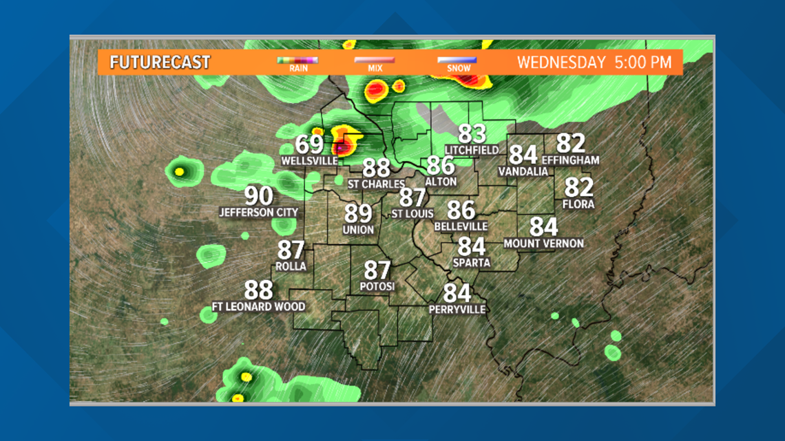
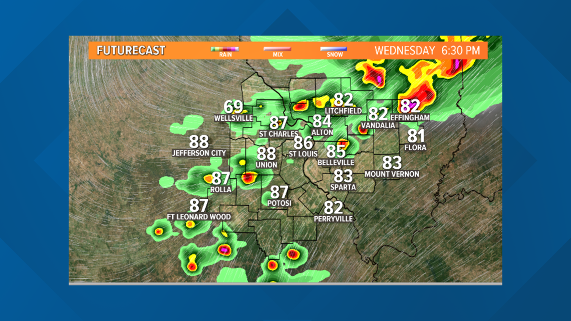
ST. LOUIS — Wednesday will be another very warm day with highs in the mid to upper 80s before evening storms develop.
A strong cold front will plow through Wednesday night to Thursday morning bringing drastically colder air for Thursday and into the weekend.
The storms are expected to develop just after 4 p.m. north of St. Louis and drift southeastward into the metro area between 5-7 p.m.


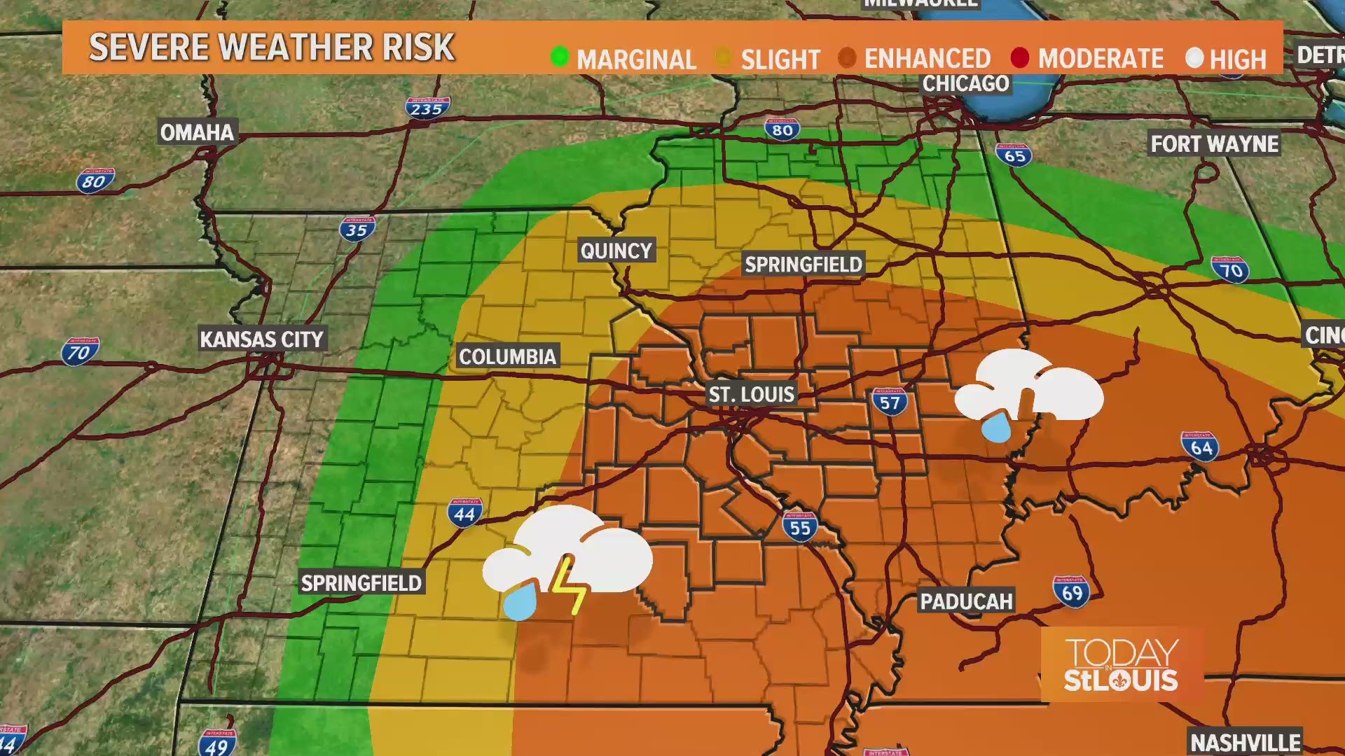
When the storms first develop, large hail in excess of 2 inches in diameter could be possible.
Secondary threats will be damaging winds and isolated tornadoes as the storms push into southern Missouri and southern Illinois.


All the storms should clear the 5 On Your Side viewing area just after 10 p.m.
Overnight into Thursday morning, temperatures will tumble into the 40s with winds picking up out of the northwest at 10-20 mph with gusts up to 30 mph. Thursday’s highs will only top out in the 50s with dry skies.
Our next chance of rain returns for Easter weekend.
Download the free 5 On Your Side app to get the latest watches and warnings and track conditions live with our interactive radar. Use the links below to download now.
5 On Your Side news app
iPhone | Google Play

