
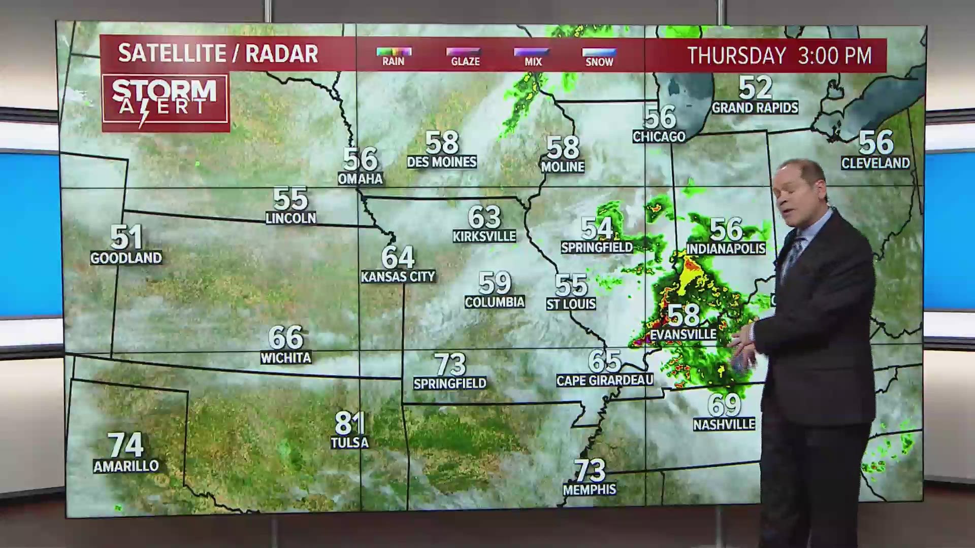
ST. LOUIS — A powerful weather system is moving across the central part of the United States Thursday into Thursday night. Heavy rain has already caused flash flooding over portions of the Ozarks. The threat of severe weather, including tornadoes, will increase into the evening hours across parts of southeast Missouri and southern Illinois and another area along the Missouri-Iowa border.
RELATED: Live interactive radar
The Storm Prediction Center has placed the St. Louis area and points south and east in an enhanced risk for severe thunderstorms into Thursday evening.

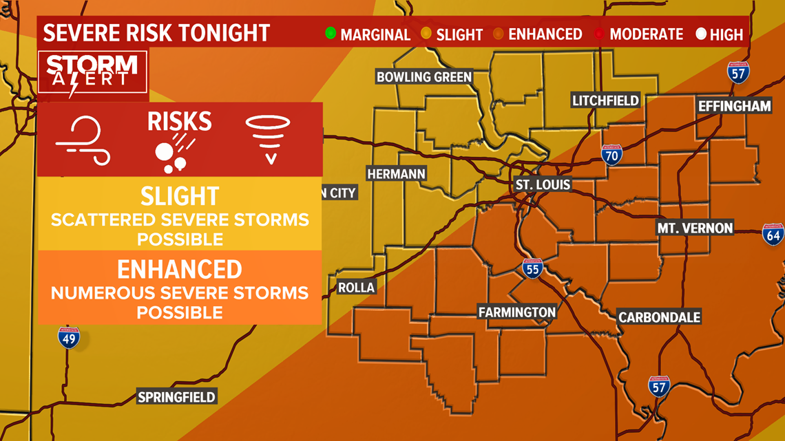
The threat will evolve as strong winds aloft move over our region during the evening hours. This is expected to add to the intensity of the storms. Large hail, damaging winds and a few tornadoes are possible in this type of environment. Temperatures may climb above 70° early Thursday evening, also helping to fuel the storms.
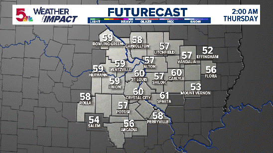
LATEST HIGH RESOLUTION MODEL DATA:
Any threat of severe weather should end by midnight at the latest. Much colder air will then move into the region heading into the weekend. High temperatures will remain well below average Friday afternoon through Sunday.
Weekend highs will only be in the 40s and there is even a chance of a wet snowflake or two Sunday morning.
Download the free 5 On Your Side app to get the latest watches and warnings and track conditions live with our interactive radar. Use the links below to download now.
5 On Your Side news app
iPhone | Google Play
READ MORE: Latest 5 On Your Side forecast