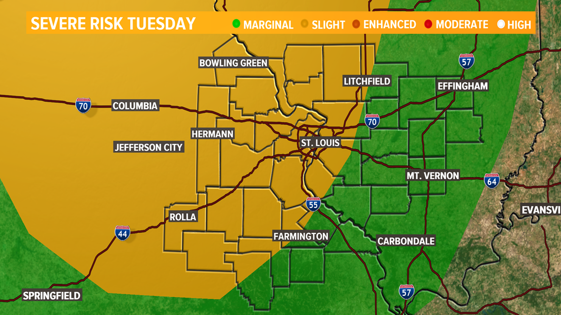
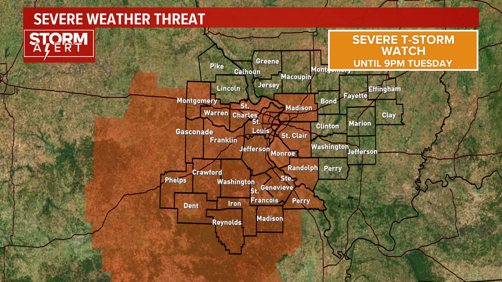
ST. LOUIS — Isolated strong storms are forecast for late Tuesday and into Wednesday for the bi-state.
RELATED: Live interactive radar
Thunderstorms return to the region Tuesday, though it will not be a washout. Rain is possible at any moment due to the isolated nature of the storms.
Late in the afternoon, a few thunderstorms may produce large hail and damaging winds.


Thunderstorms are more likely into the evening and night, with some heavy downpours possible. The risk for scattered thunderstorms continues into Wednesday, especially south of St. Louis.
The best chance for rain Wednesday will be late afternoon and into the night.
There will be plenty of dry periods on Thursday, followed by periods of rain and thunderstorms beginning Thursday night.
The rainy period will last through Friday, Saturday and perhaps into early Sunday. Expect 1 inch to 2 inches of rain, will some areas near 3 inches by Sunday afternoon.
Temperatures will remain in the mid to upper 80s the next few days, with slightly cooler low 80s for the weekend.
Rain will clear out early Monday with some dry weather to start next week.
5 On Your Side weather app
iPhone | Google Play
5 On Your Side news app
iPhone | Google Play

