ST. LOUIS — This has always been a rain system for the St. Louis area over the last few days. As we have tracked this system, it has remained far above freezing for us pretty consistently.

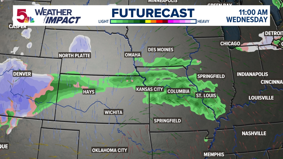
But its span across the entirety of Interstate 70 (and beyond) was more of the cause for concern to those driving or flying during this Thanksgiving holiday week. Chances for rain here, but snow to the north caused some doubt on whether or not you'd run into delays by car or by plane this week.

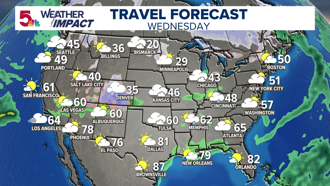
Overall, there isn't anything major that jumps out as to impact travel or flight nationwide on Wednesday. There always seems to be some major ripple effects if this happens on a Wednesday, but that doesn't seem to be the case this time. Do note the snow in Denver, however.

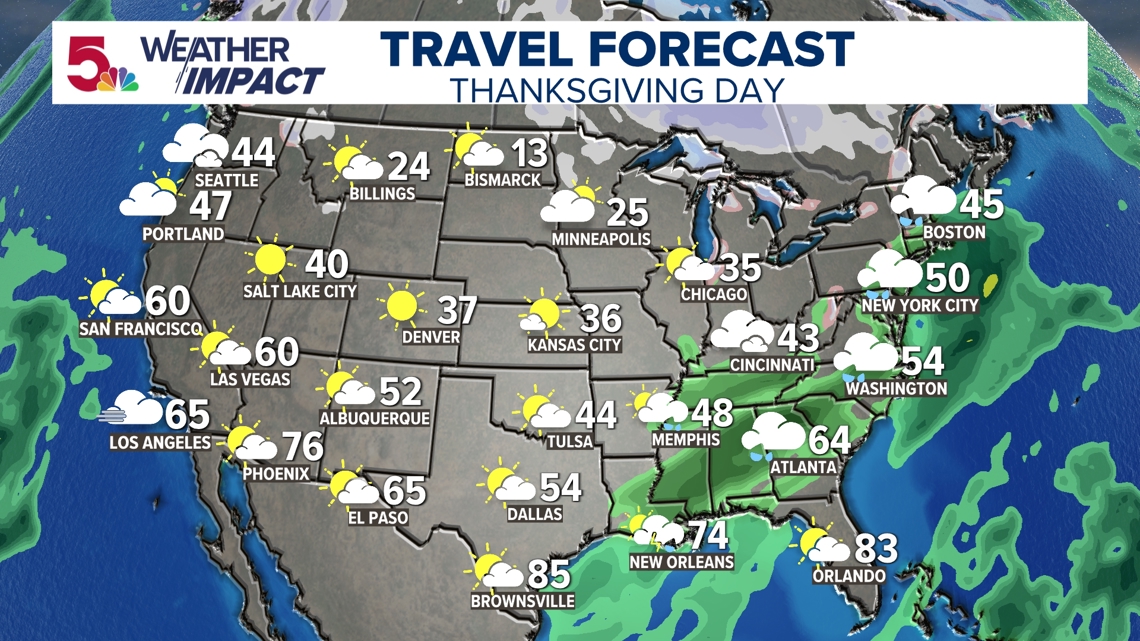
That snow in Denver is part of system that will impact our weather later that day, and parts of early Thursday. Note the rain in the southeast above. That is the main difference in some of the recent forecast changes the last 48 hours.

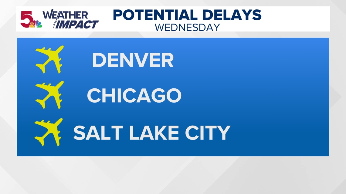
If I had to guess three airports that may be impacted during Wednesday's travel day in some regard, it would be Denver, Chicago and Salt Lake City. All of this has to do with the storm that will be in our region, as well.

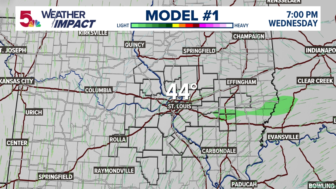

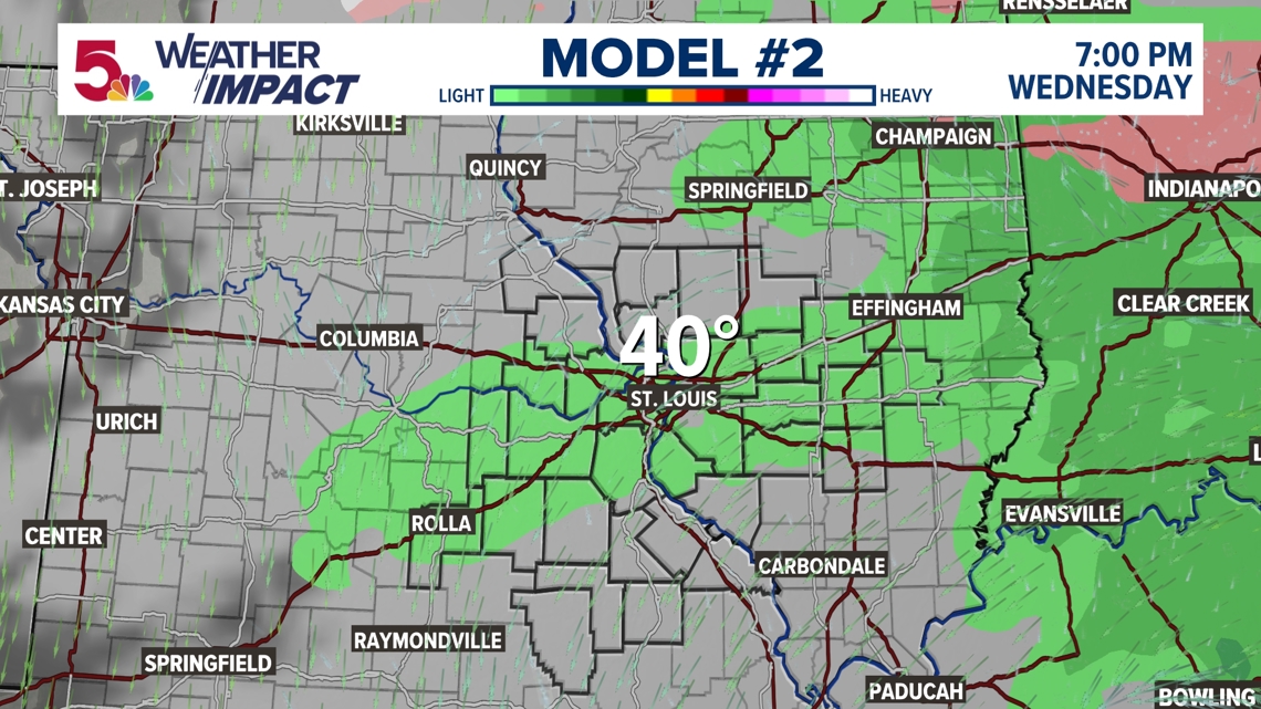

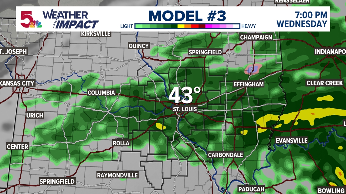
But how will that system impact us? I have seen quite the change in some of these models over the past few days, and I want to explain why I think that's the case. Look at Model No. 1.. There's no rain at all! While the consensus seems to be that rain exists ... all of them show temperatures above freezing. That's very important in regards to your travel north and west. That has not always been the case and I think that's a trend that is accurate in this case.

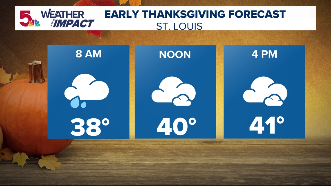
Right now, I think there may be a few showers around for the first part of Thursday. While our temperatures may not really go anywhere most of the day, I think a good majority of it will be dry and easy to travel in the St. Louis region.

