ST. LOUIS — A couple of areas of showers and thunderstorms have already moved through parts of the St. Louis area through early afternoon Thursday. The strongest storms have produced pea to penny-sized hail and quick downpours.
Additional thunderstorms will continue to develop through the afternoon into the evening hours, as warm humid air now covers the region. A small upper-level disturbance is moving out of the Ozarks into Thursday evening and should help enhance the scattered thunderstorm development.
The main threats will be damaging winds in excess of 60 mph and large hail.
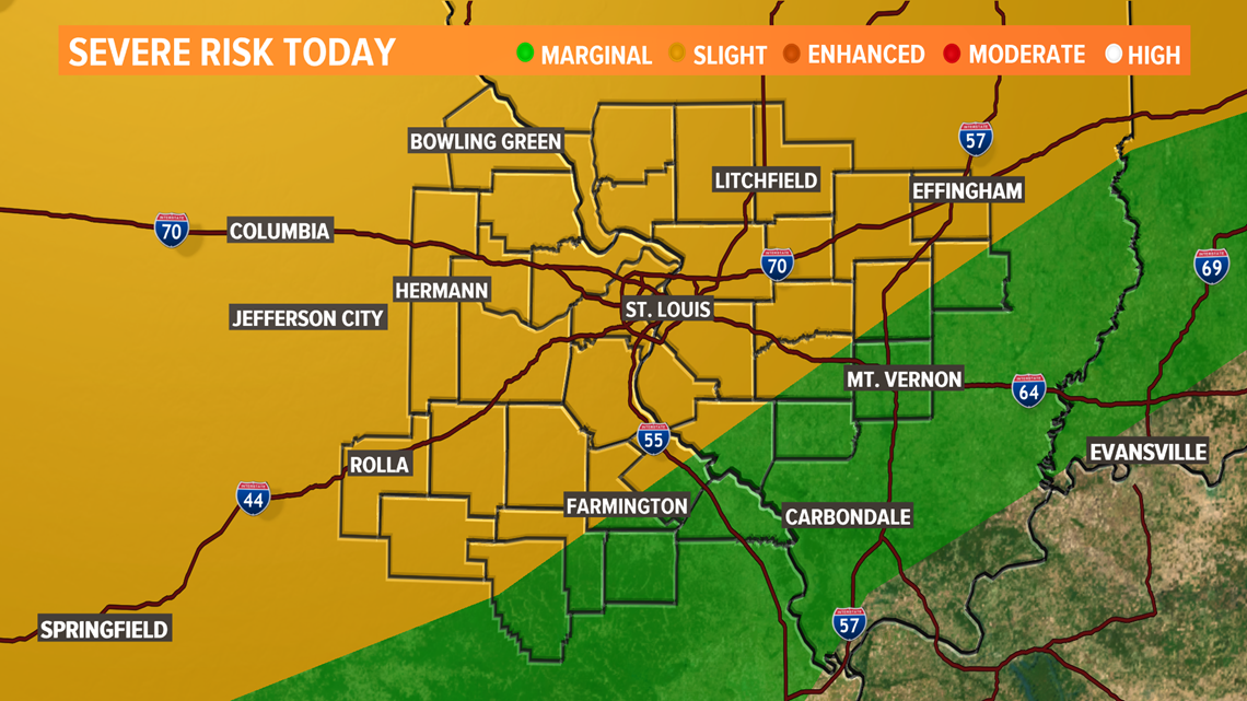
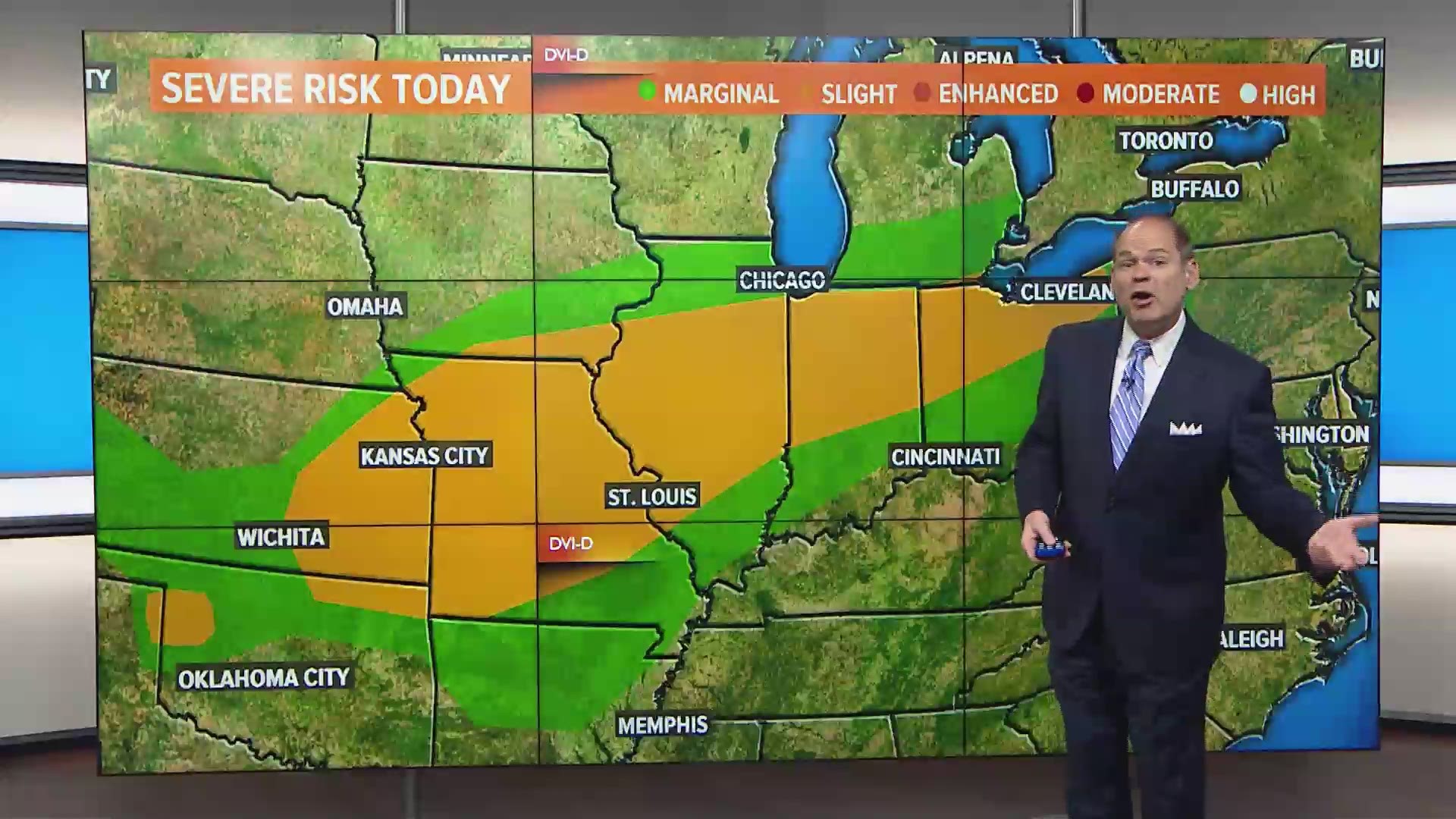
The Storm Prediction Center continues the slight risk category across much of the area into tonight.
Download the free 5 On Your Side app to get the latest watches and warnings and track conditions live with our interactive radar. Use the links below to download now.
5 On Your Side news app
iPhone | Google Play


A cold front well to our north will focus a line of thunderstorms across southern Iowa and northern Missouri later Thursday evening.
The line will move southeast toward St. Louis as we head toward daybreak Friday. While there will be a trend for the line to weaken as it approaches our area, gusty winds may still occur with the storms. The most likely area for severe weather in the wee hours Friday morning will be north and northwest of St. Louis.
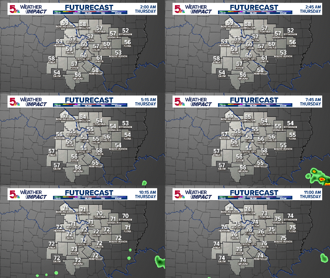
LATEST HIGH RESOLUTION FUTURECAST
After the storms early Friday, additional waves of showers and storms will be developing into the weekend. There will be dry time and it's an overall warm pattern. There doesn't seem to be a focal point for severe weather into the weekend. While a few of the storms may be strong, severe storms do not appear likely.

