ST. LOUIS — Sunday was a very calm and cloudy day. As milder conditions have remained in place, we expect that it will change at some point in the near future. It is November, after all.

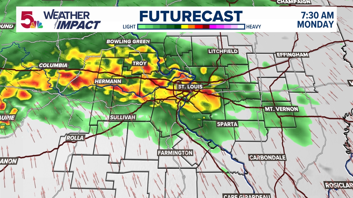
That change will come in the form of some early rain on Monday morning. This is nothing severe, there will be no flooding, and there is little concern this will even be a strong round of thunderstorms. But this will be heavy enough that I think there will be some incidents as more cars are on the roadway during the morning commute. Monday is a Weather Impact Alert Day.

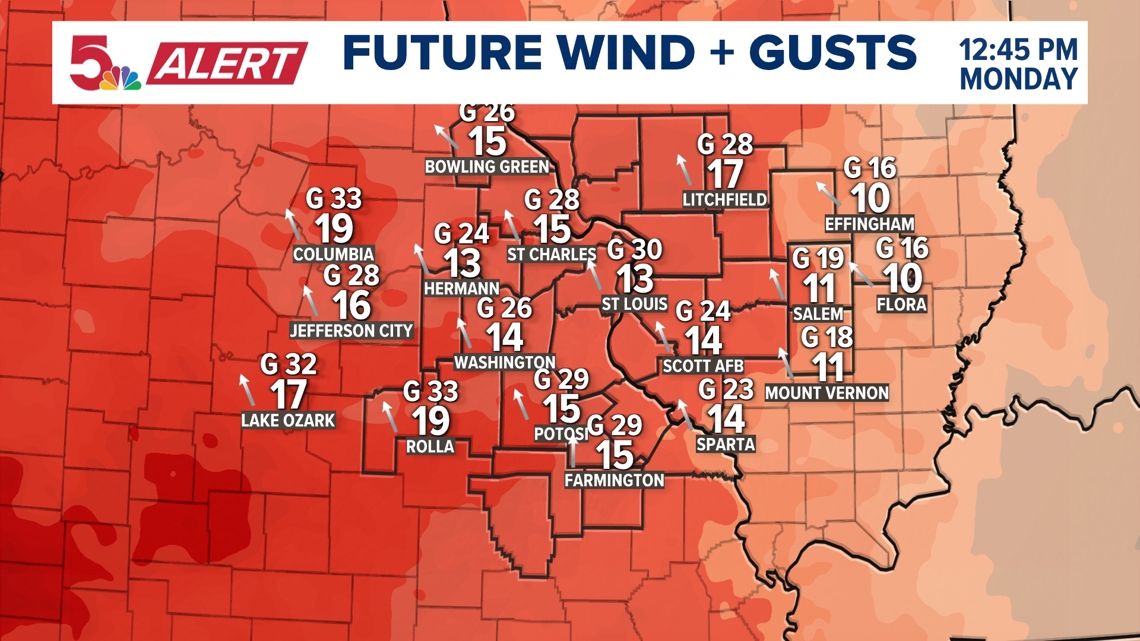
After the first round of rain is over, it will actually be a pretty decent day. Warm conditions remain throughout the day. But it will be more windy throughout the rest of the day. Gusts between 30-40 mph are possible as early as the lunch hour.

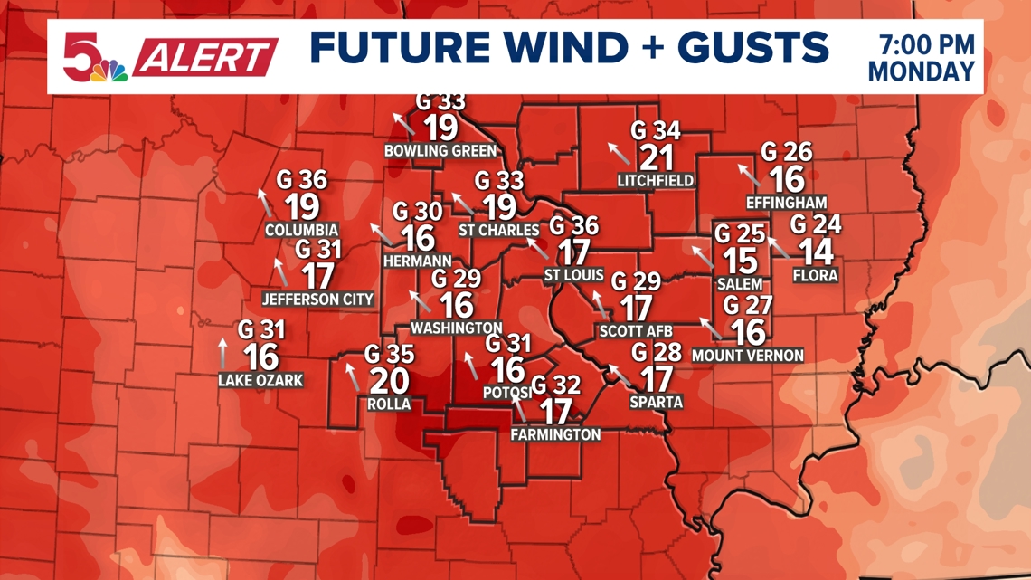
This is the second reason for the rest of the day's Weather Impact Alert status. Gusts over 40 mph may make driving a bit more difficult, especially along east-west roads.

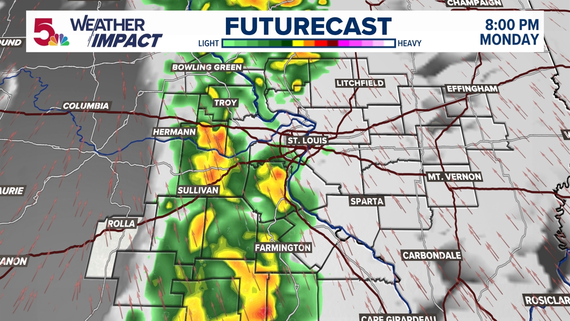
Then, another line of rain moves in from the west. While there is a severe threat well to our west, that shouldn't be the case here. This line of storms will weaken as it enters our area Monday evening. But a few more gusts over 40 mph may be generated from this as well.

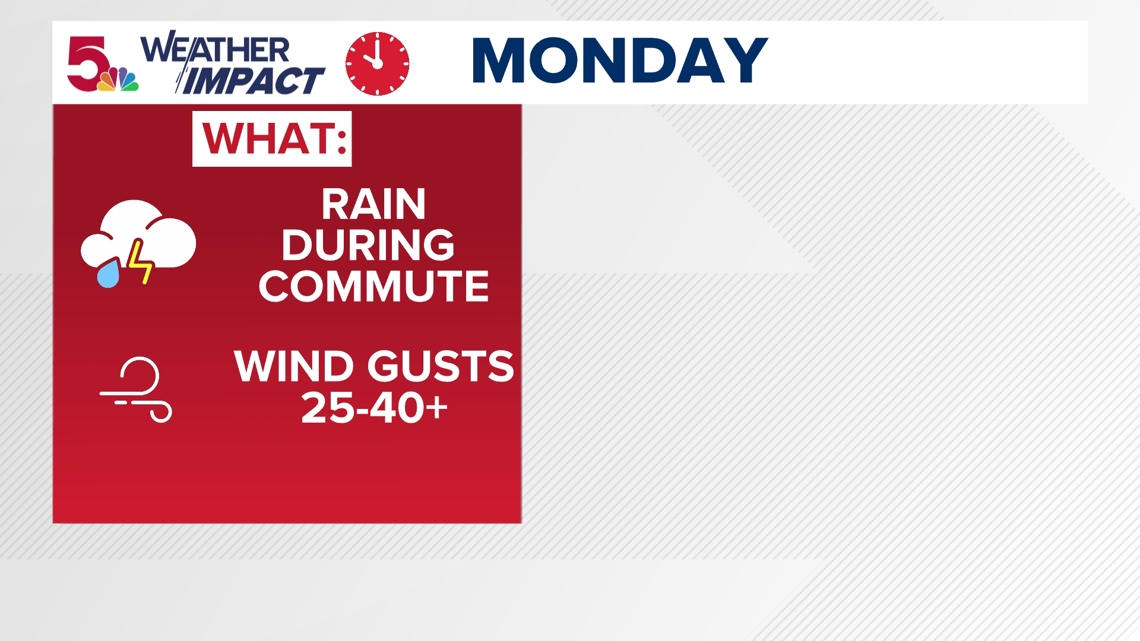
The first impact you'll deal with is rain during the morning commute. Gusts picking up later in the day will be our second impact, and probably the one we deal with much longer than the early rain.

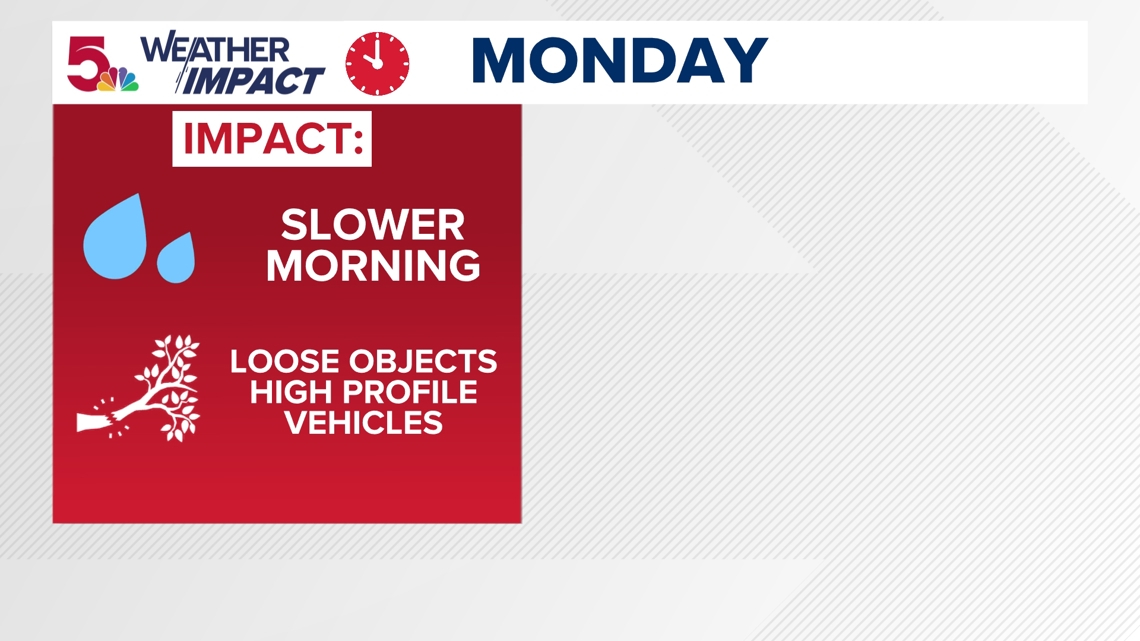
Expect a slower morning commute, especially the earlier you plan to leave the house. Higher profile vehicles will have a tougher time driving as wind gusts may exceed 40 mph throughout the day.

