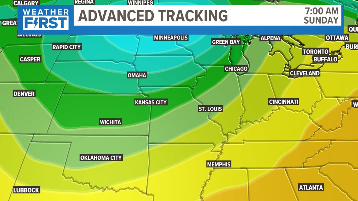
ST. LOUIS — Our stretch of ups and downs continues as we have the coldest air we've seen in a while behind the severe weather threat we had on Thursday. The coldest of this air arrives Sunday into Monday, and that's when our best chance for a frost arrives.
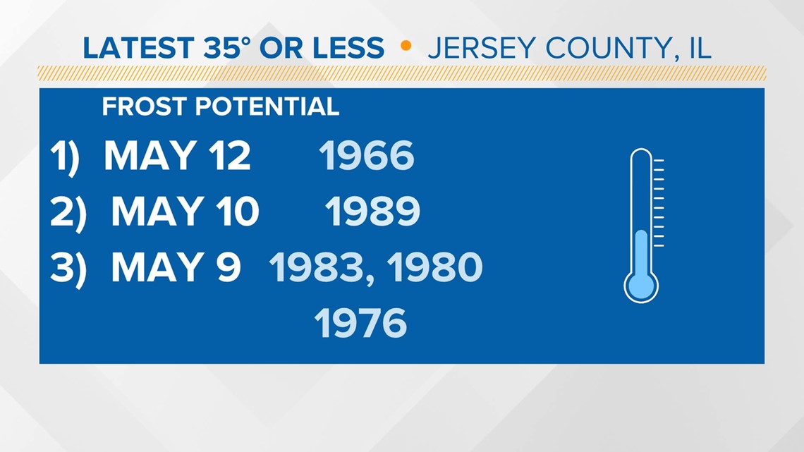
Temperatures at 35 or below are not out of the question this late in the year. We have gone as long as May 10 in St. Louis County. This number has come up to 1.5 days earlier per decade, however.
On the Metro East side, the last 35 degree or below reading was in Jersey County on May 12. This area is 1.7 days earlier per decade, on average.


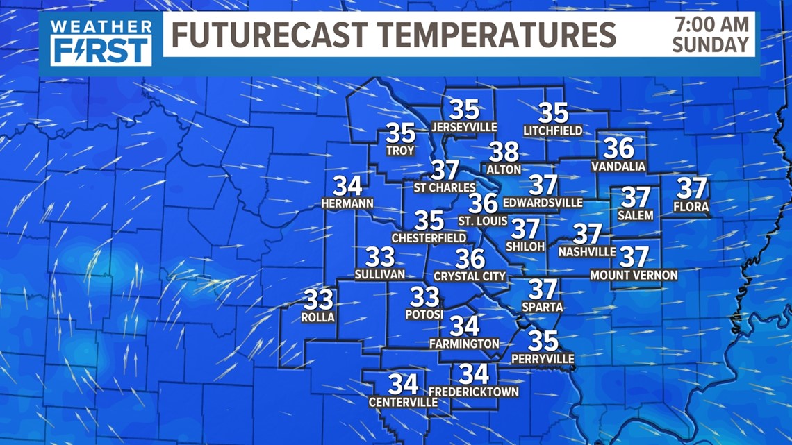
Colder air and lighter winds Sunday should lead to a widespread frost or even a freeze in some locations. Bring tender plants inside or cover them up before we eventually warm up by mid morning.
Download the free 5 On Your Side app to get the latest watches and warnings and track conditions live with our interactive radar. Use the links below to download now.


