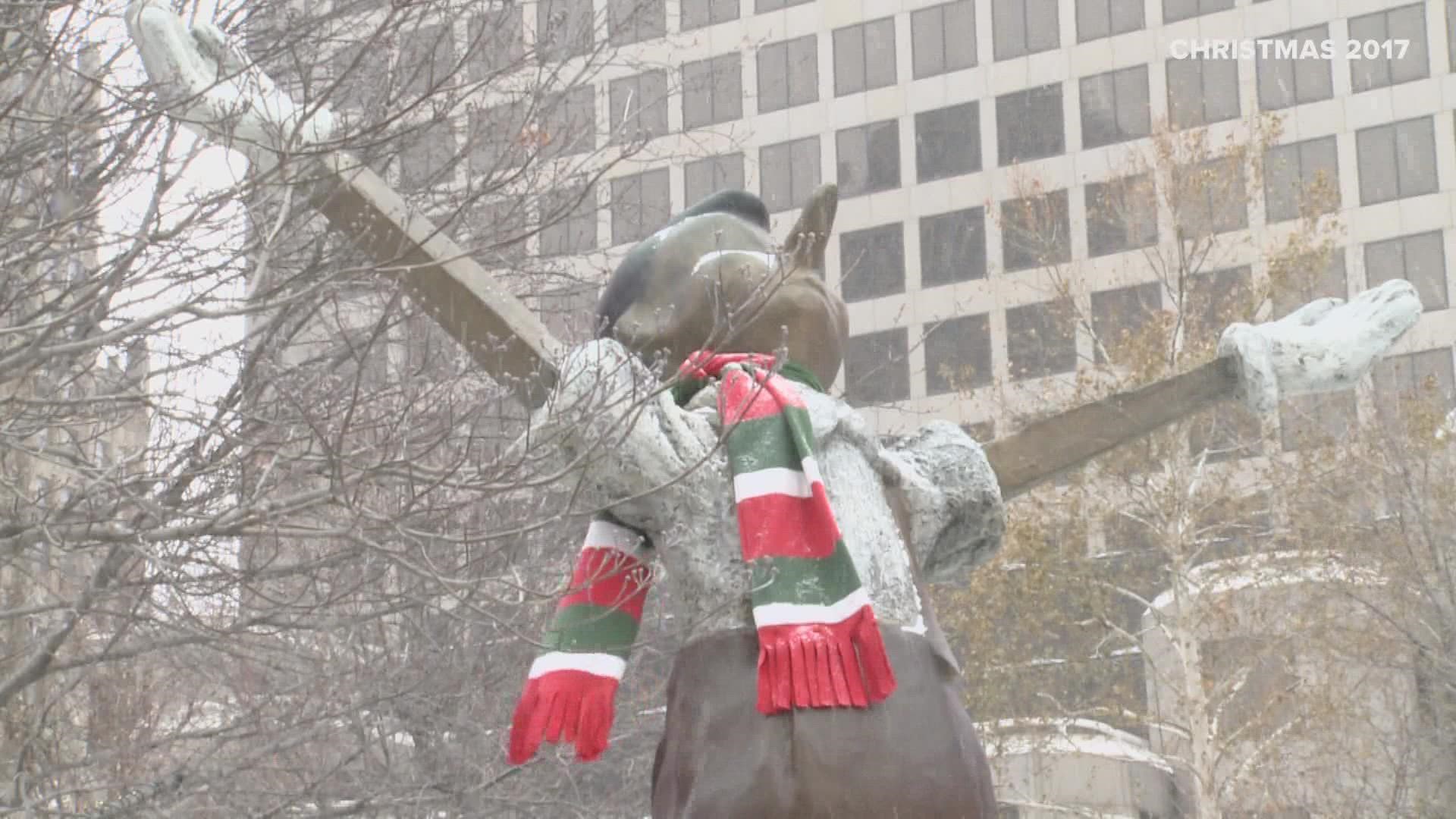
ST. LOUIS — It's been five years since we had a white Christmas in St. Louis. The definition of a white Christmas is one inch of snow on the ground at 6 a.m. Christmas morning.
That last happened in St. Louis in 2017.
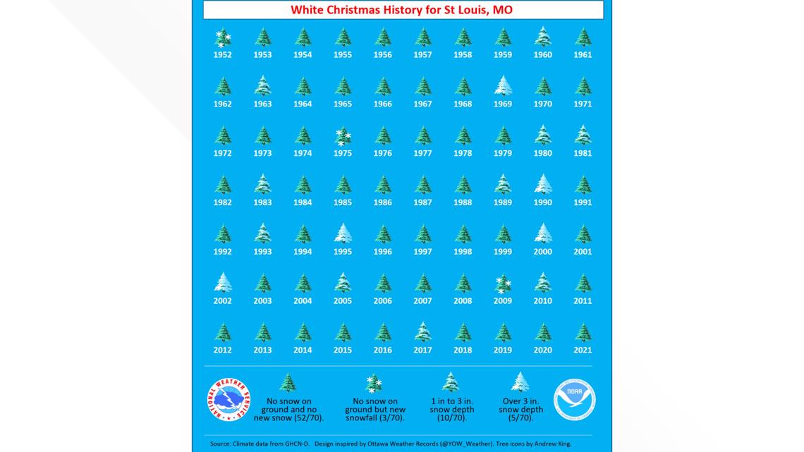
Historically, the probability of a white Christmas is around 20% in the St. Louis area. It's been 20 years since we had a deep snowpack on the ground Christmas morning. In 2002, six inches of snow was measured officially on Christmas morning.
The graphic below, from the National Weather Service, shows the last 70 years of snow depth history at St. Louis Lambert International Airport.

The chances this year could be bolstered by cold air that arrives over the next ten days. The eight- to 14-day outlook from the Climate Prediction Center shows cold weather blanketing the eastern two-thirds of the country.

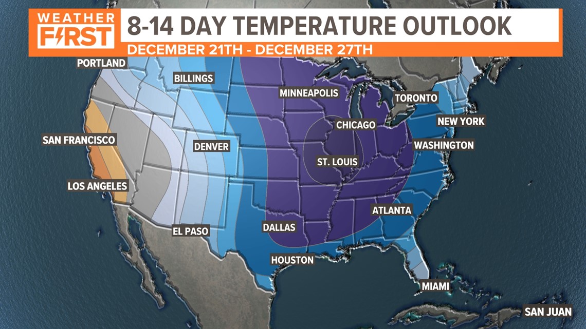
Colder air will come in waves in the days leading up to Christmas. Arctic air is in place in the two or three days leading up to Christmas. Temperatures may be in the single digits for early morning lows in some areas.


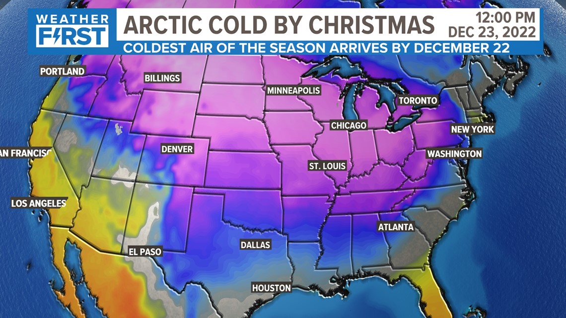
The ensemble forecasts for the American, Canadian and European models all show temperatures below freezing for an extended period of time beginning about December 21 or 22. The cold air is expected to linger into the days after Christmas.
Download the free 5 On Your Side app to get the latest watches and warnings and track conditions live with our interactive radar. Use the links below to download now.
5 On Your Side news app
iPhone | Google Play
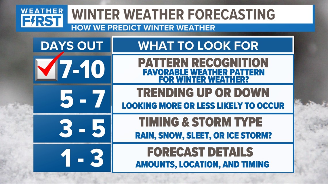
With the cold air in place, the missing ingredient is moisture. Specifically, is there a disturbance that can find enough moisture and move close enough to St. Louis to create some accumulation snow? The trends show a better-than-average chance of having at least an inch of snow on the ground this Christmas.
The Weather First team will continue to monitor the trend and update the forecast as we get into the days before Christmas.

