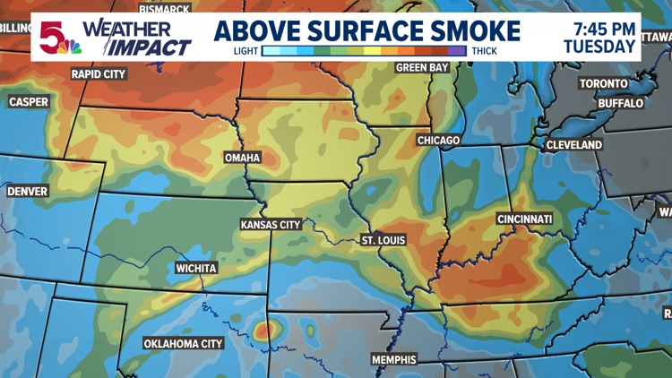
ST. LOUIS — This is not the first time we have seen wildfire smoke in the air this season, or even this year. But wildfire smoke will be a big feature in the sky and the weather pattern over the coming days.
Wildfire smoke from Washington, Oregon, and Idaho are the predominant producers of all this wildfire smoke that's being lofted up into the atmosphere right now.

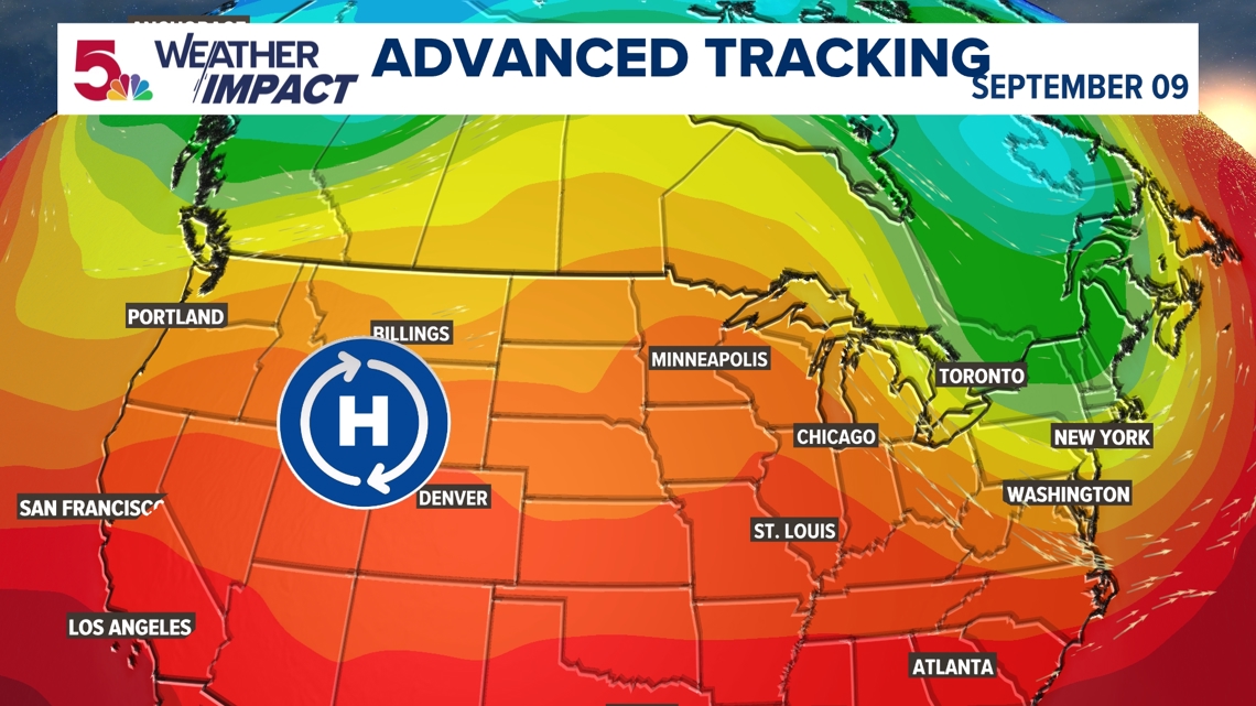
High pressure, sinking air and dry conditions to the west are ripe conditions for wildfires to develop. But the main issue in bringing it here, is the fact that this ridge of high pressure extends further north into Canada. The edge of the ridge and upper-level wind moves the wildfire smoke and particles into the Midwest and other parts of the United States.

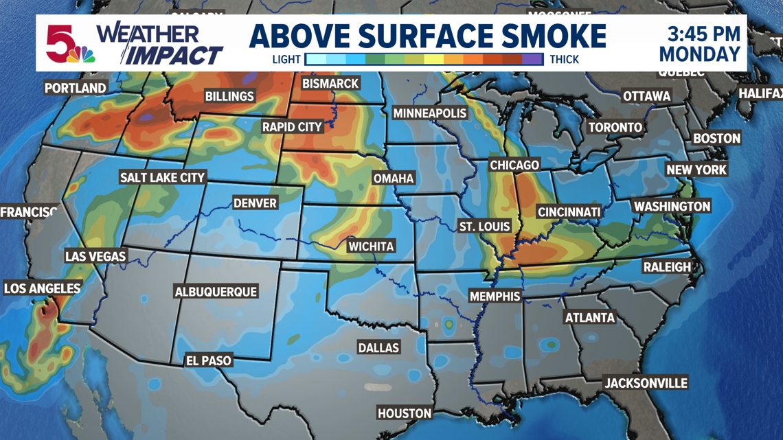
And yes, this happens so much nowadays, that they have developed weather models to project where the smoke is going. The above surface smoke is much thicker to the east right now, and that's why your sunrise this morning was likely a little murky.


But more of this smoke continues to loft into the air as this high moves closer to us, giving us more smoke in the air from sunrise to sunset. It may even be thick enough to keep us from warming up 3-5 degrees!

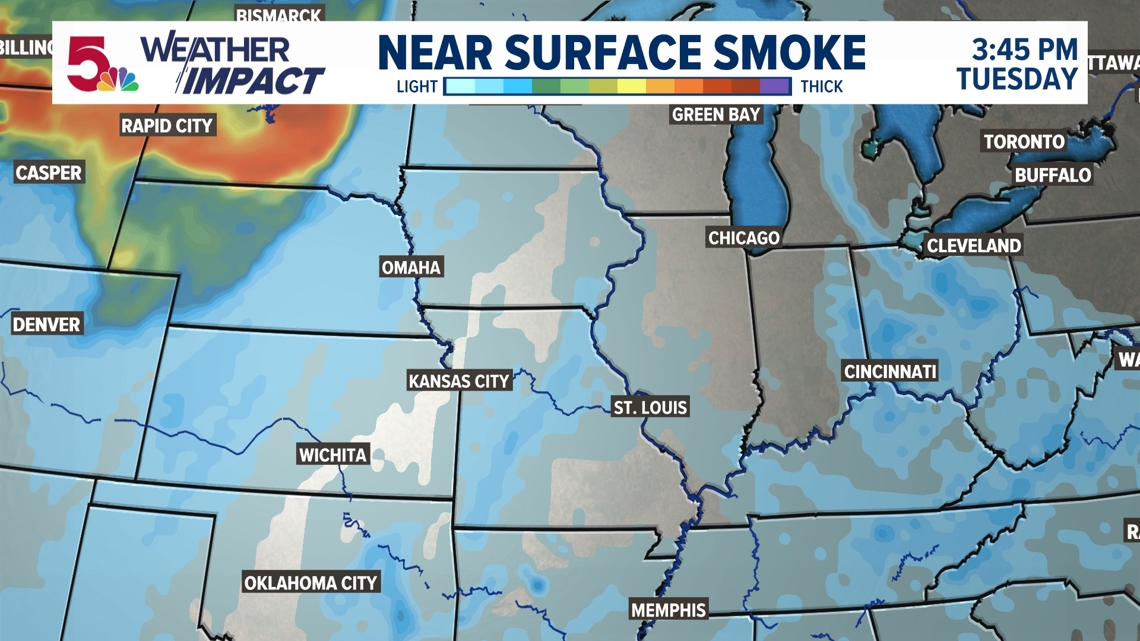
But if you're wondering if this is going to impact the air quality at the surface, that's not quite the case. Most of that wildfire smoke stays 20,000 feet or more above the surface most of the week.

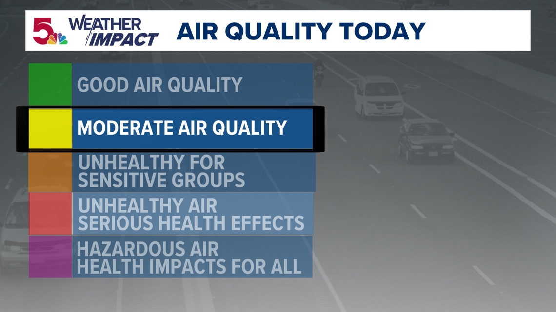
Our air quality remains moderate, which really has more to do with the warmer days and lack of wind movement as it's very dry locally over the last few days.

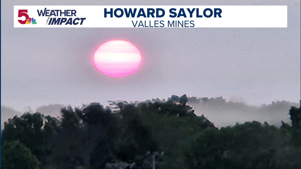

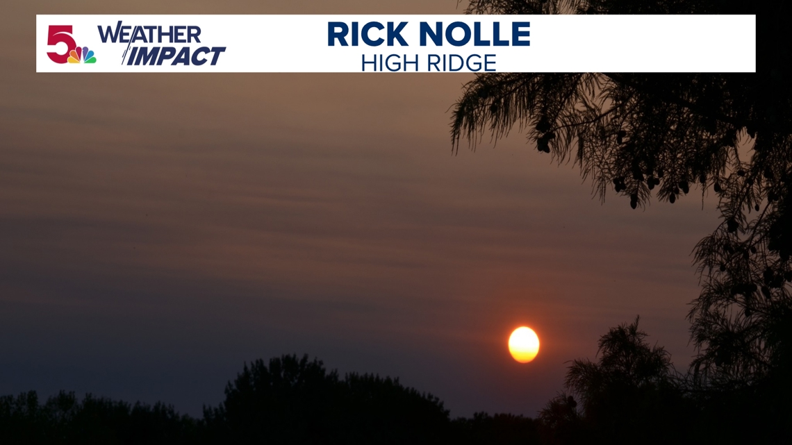
Otherwise, just expect to see some very vivid sunrises and sunsets over the next few days, with it maybe getting darker a little earlier as a result each night. We won't see much of a change to this pattern until rain arrives later in the week.

