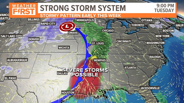
ST. LOUIS — An active weather pattern will bring more unsettled weather to Missouri and Illinois Tuesday. A large weather system is moving across the intermountain region of Utah, Idaho, Wyoming and Colorado Monday evening and is headed toward St. Louis.
This energy is expected to move into the Plains into Tuesday creating blizzard conditions for portions of the Plains and upper Midwest by Tuesday. Blizzard warnings are in effect from portions of Colorado to South Dakota.
The upper-level energy along with strong upper-level winds will move into our area by later Tuesday and Tuesday night. The snow will be in the colder air north and west of the storm track.

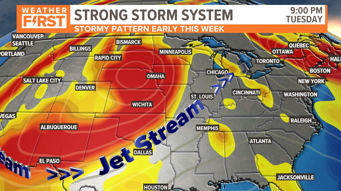
Moisture will be pulled north from the Gulf of Mexico by stiff winds from the south ahead of a front. This will allow showers and some thunderstorms develop along and ahead of the front. The strongest thunderstorms and a severe weather threat will be across Arkansas and Louisiana.


Locally, we may hear some random rumbles of thunder, but the ingredients for severe weather do not come together for our area.

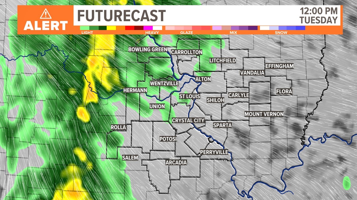
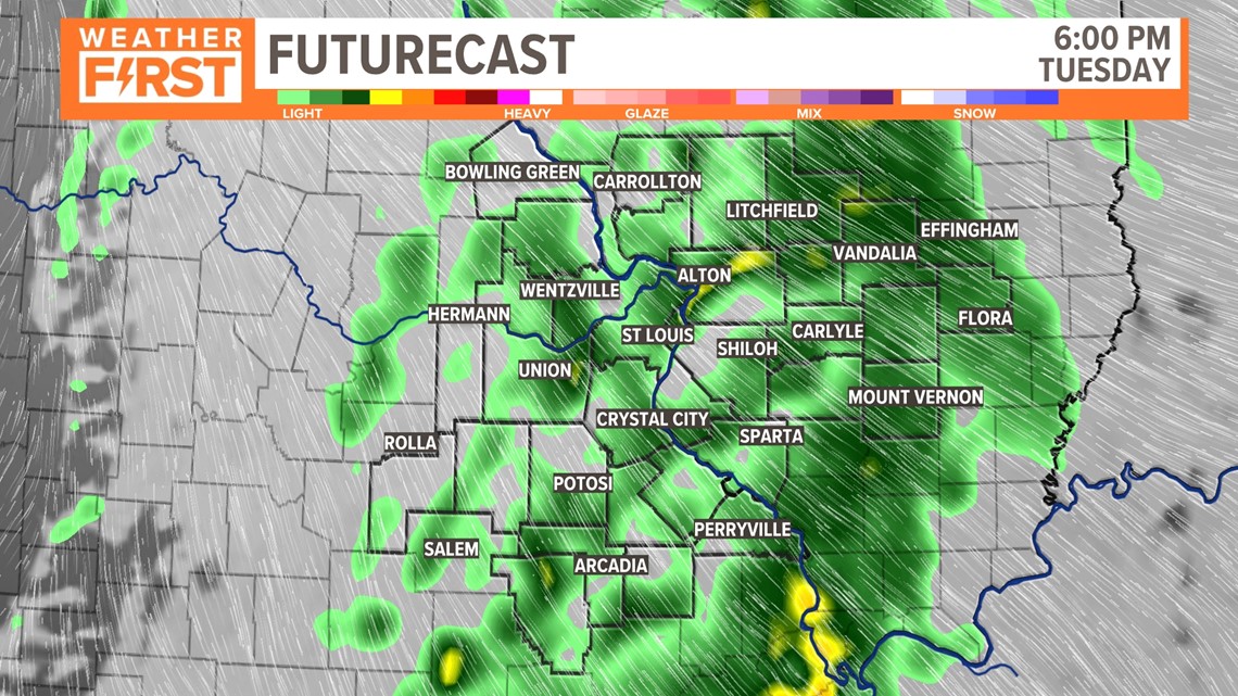
Many will see some decent rain Tuesday afternoon into Tuesday night.

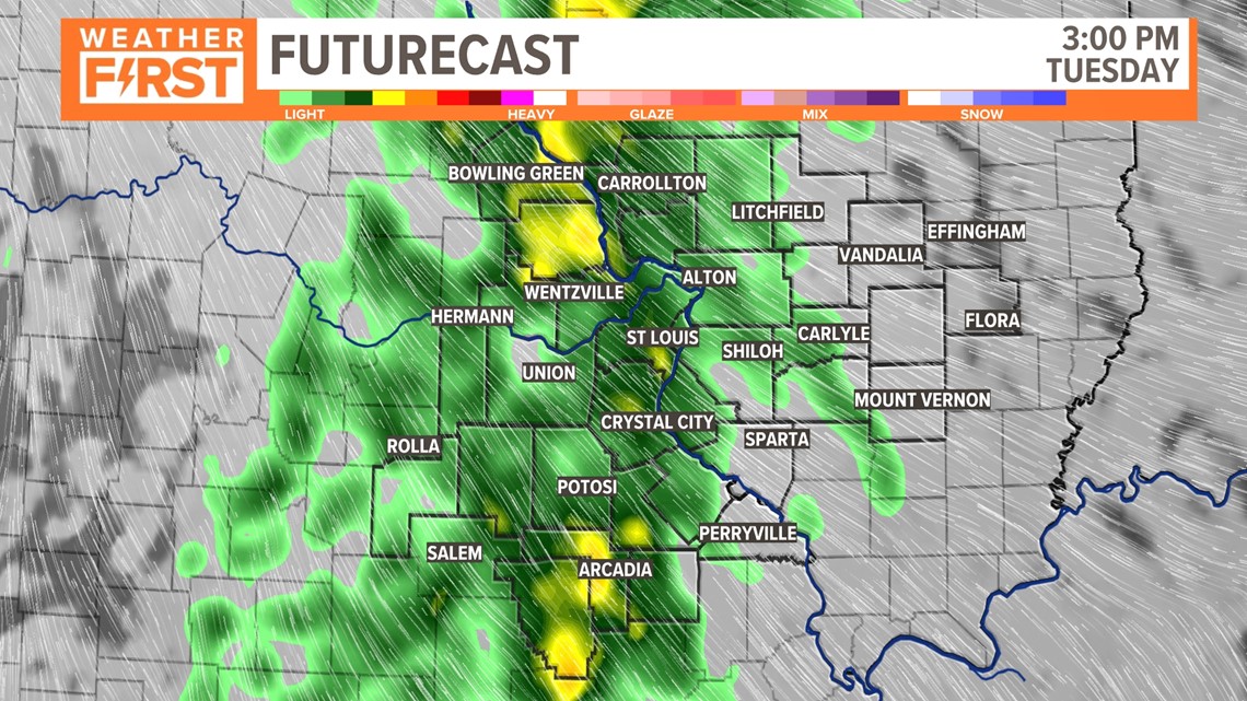
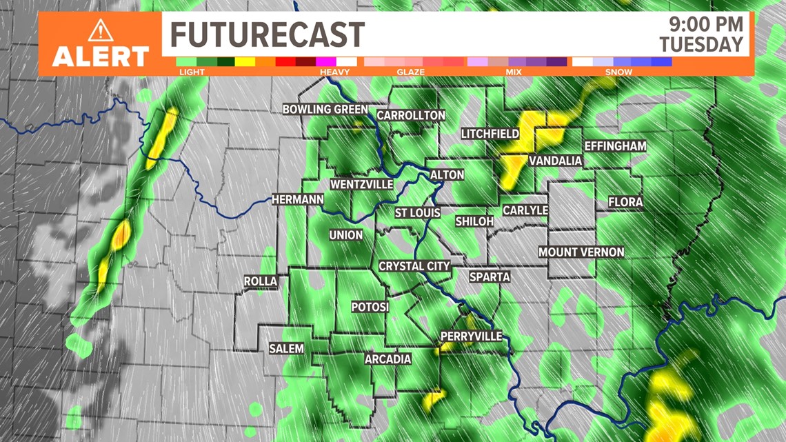
Some areas may see more than an inch of beneficial rain from this system. Rain will continue to spread northeast through the evening hours.

Download the free 5 On Your Side app to get the latest watches and warnings and track conditions live with our interactive radar. Use the links below to download now.
5 On Your Side news app
iPhone | Google Play
The rain chances will start to diminish from the west and southwest as drier air wraps around the backside of the system late Tuesday night into Wednesday.

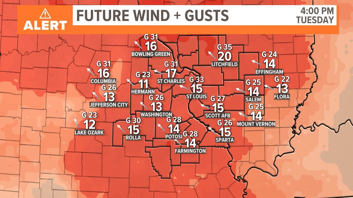
Winds will become gusty during the day Tuesday. By lunchtime in the St. Louis area, wind gusts should be at or above 30 m.p.h. Top wind gusts are expected to be in the 30 to 40 m.p.h. range into the evening hours. Large or inflatable holiday decorations should be secured in preparation for the gusty winds.

Wednesday may be the warmest day of the week as the mix of sun and clouds pushes temperatures close to 60 degrees. There is a slight chance of a brief shower Wednesday. It may be the last time we are that warm for the remainder of the year as a much colder pattern settles across much of the eastern two-thirds of the United States. Below-average temperatures are expected later this week through Christmas.