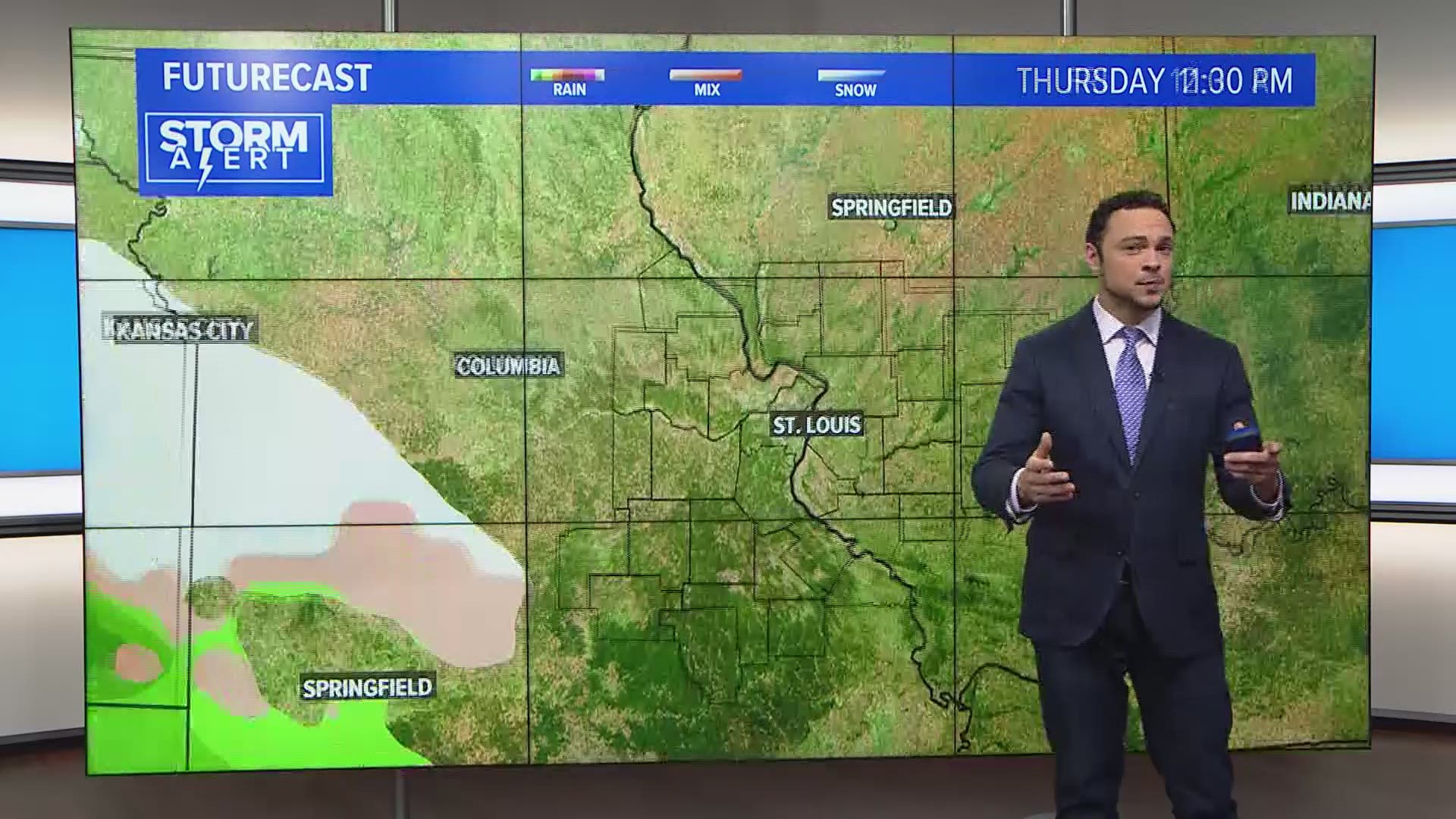
ST. LOUIS — Winter storm watches have been issued for portions of Missouri and Illinois as a winter storm takes shape heading into the weekend. Late Wednesday, a powerful storm system is pounding the Pacific northwest. This system will inspire winter weather to develop across much of the middle part of the country by Friday morning.
Significant winter weather is more likely across parts of central and northern Missouri and west-central and northwest Illinois by Friday where winter storm watches have been posted.

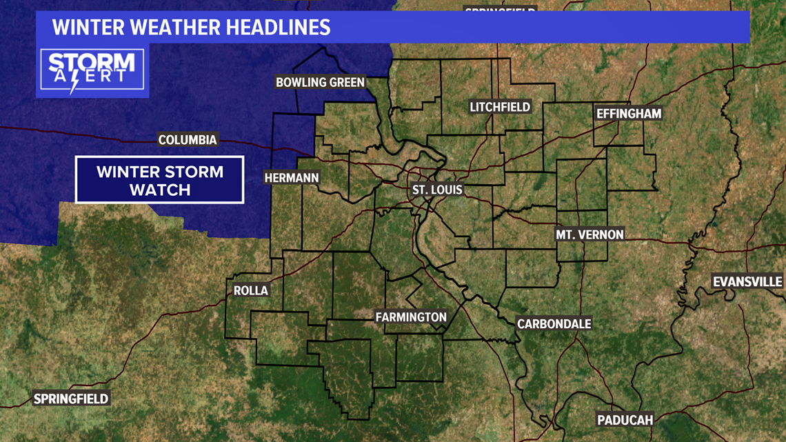
Cold dry air is working into the region and will set the stage for snow to develop when the precipitation first starts Friday morning. For the 5 On Your Side area, the first snowflakes may fall before daybreak along I-44 toward the Rolla area.

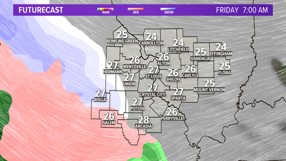
Closer into the metro St. Louis area, the snow is expected to begin late morning toward lunchtime. It will be toward the afternoon & evening rush farther east and northeast of St. Louis when the snow begins.
RELATED: Live interactive radar

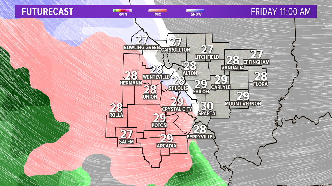
After an hour or two of light snow with accumulation of less than an inch, some sleet will mix in and then a change to sleet and freezing rain. The sleet doesn't last too long before it is mostly freezing rain. This icy mix may last two to four hours and create a light glaze of ice, especially on elevated surfaces.
Download the free 5 On Your Side app to get the latest watches and warnings and track conditions live with our interactive radar. Use the links below to download now.
5 On Your Side news app
iPhone | Google Play

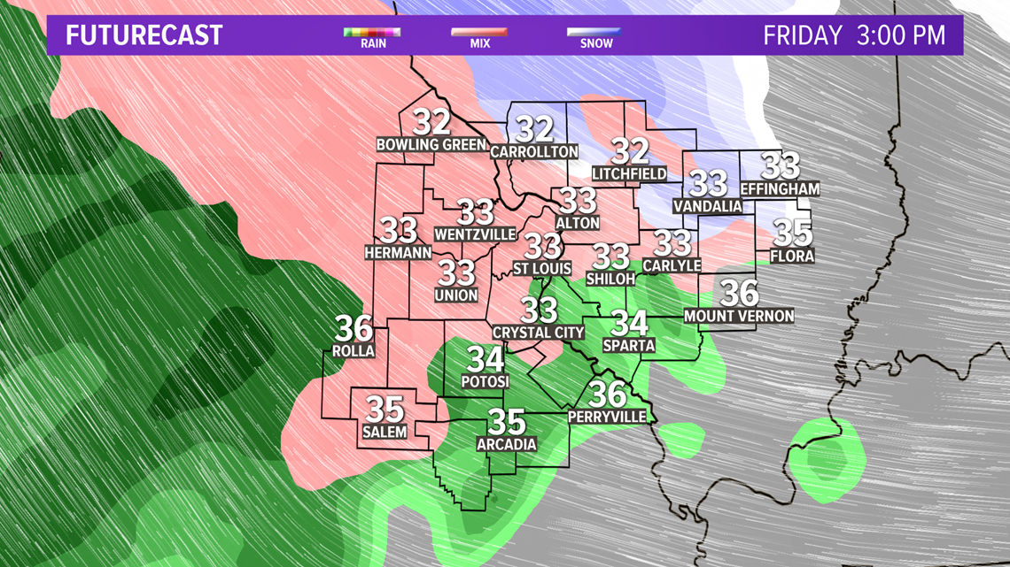
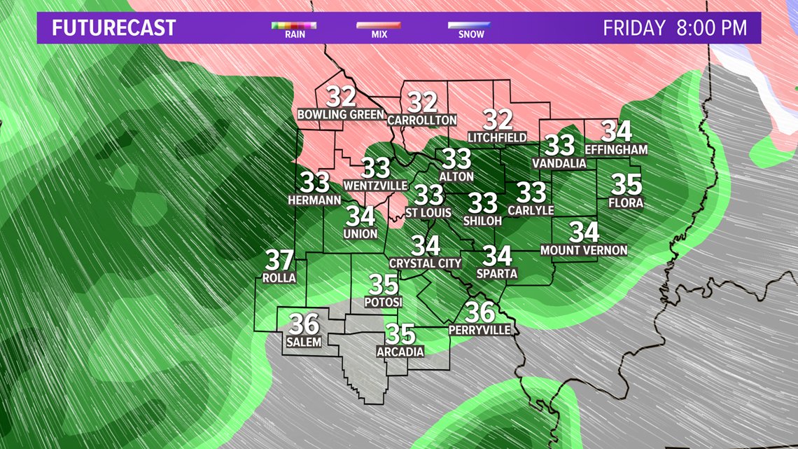
As temperatures warm above freezing from southwest to northeast, the freezing rain will change to rain after the evening rush hour and that will continue into early Saturday morning. Locally, more than an inch of rain will fall.

Saturday will turn windy and colder. Morning temperatures will be in the 40s to near 50° but drop dramatically during the late afternoon. By Sunday morning, temperatures will be in the teens and it will stay could through Martin Luther King, Jr. Day on Monday.

