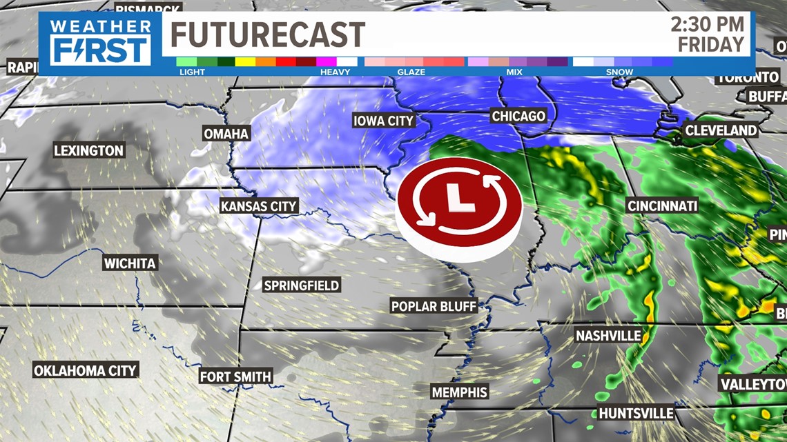
ST. LOUIS — Our current strong winter storm system continues to move through the St. Louis area with rain ending with flurries, according to area reports. The possibility of snow flurries continues this evening around the metro area.
There are no winter weather advisories for this storm anywhere near St. Louis and its surrounding counties. Far southwest, Phelps County, Missouri, is under a winter weather advisory until 6 p.m. for a winter mix with under 1 inch expected.
North or southward travel was expected to be difficult due to high winds. Tall vehicles like semitrailers should take caution.
Missouri Gov. Mike Parson on Thursday enacted a State of Emergency ahead of the storm, activating the Missouri National Guard for aid response if needed and waiving regulations on driving times for commercial drivers transporting residential heating fuel.

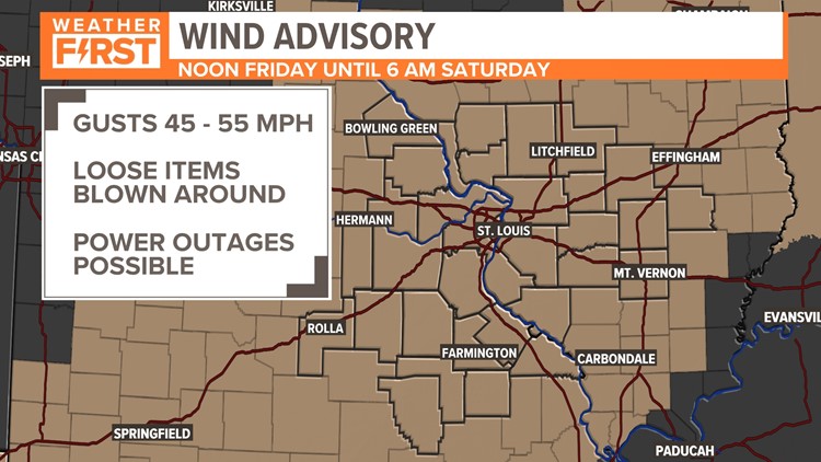
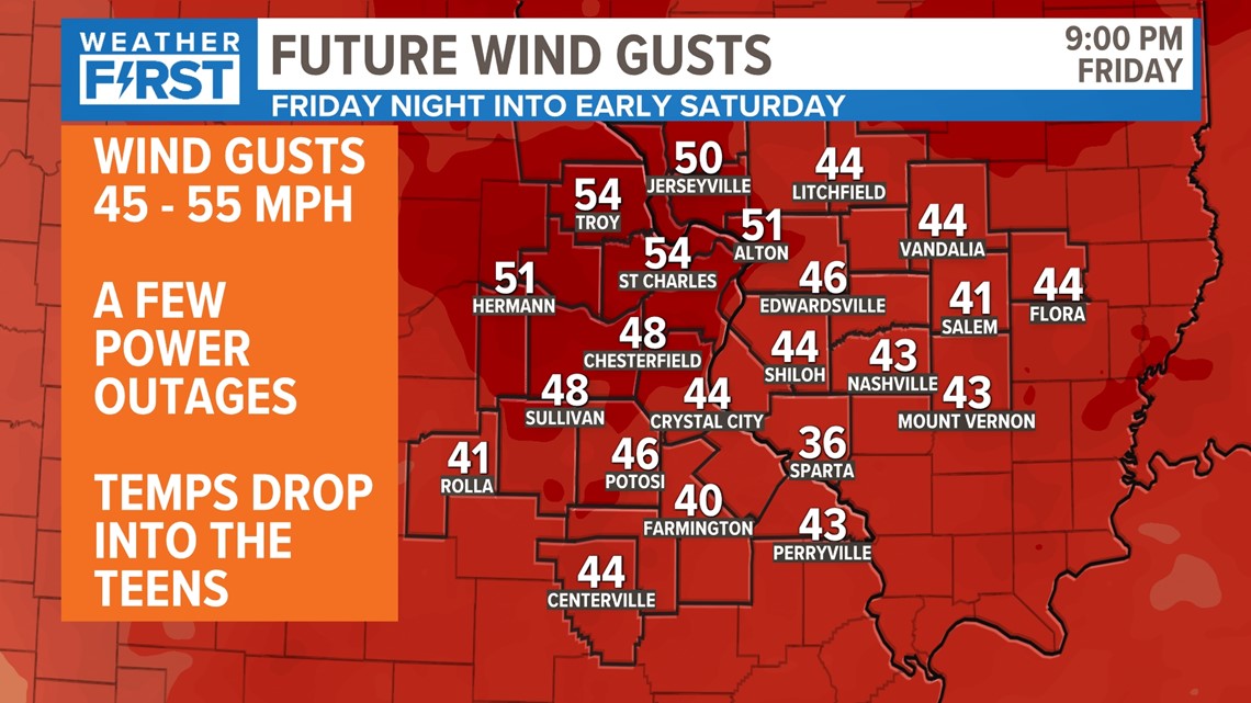
Strong winds continue now. Gusts of 45 up to 55 mph are expected this evening. As a result, a few power outages may occur.

A wind advisory continues for all counties through 6 a.m. Saturday.


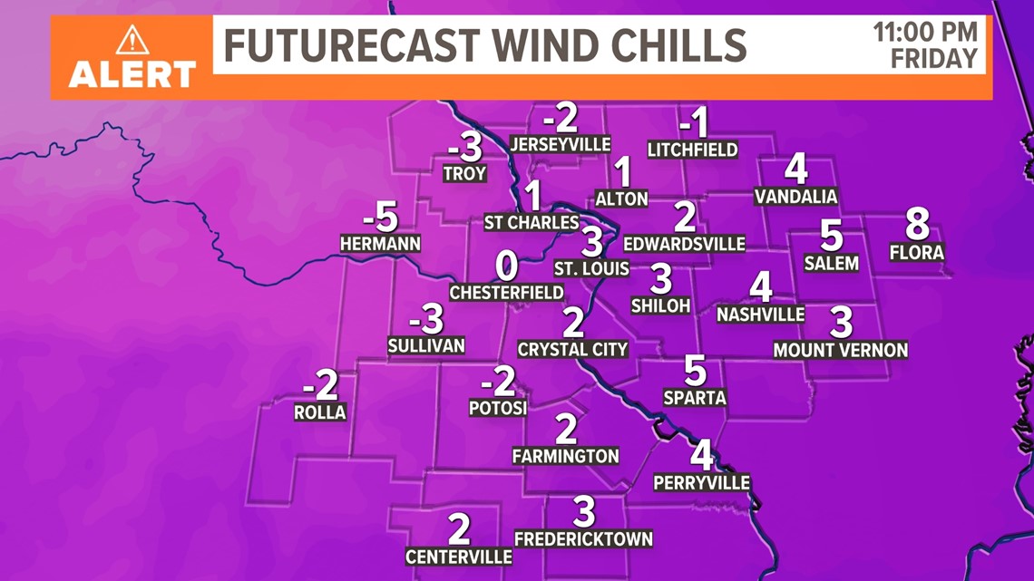


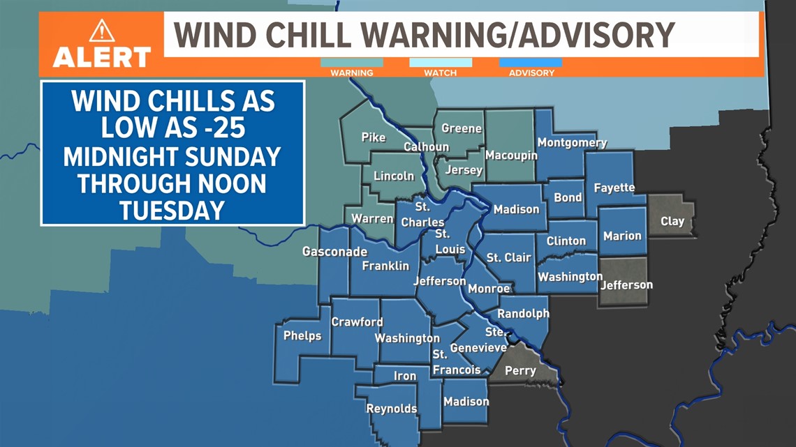
Wind chill readings will remain low into early next week. A WIND CHILL WARNING has been issued for Calhoun and Greene counties in Illinois, as well as Pike and Lincoln counties in Missouri for Saturday from midnight until noon on Sunday.
A WIND CHILL ADVISORY has been issued for the rest of the 5 On Your Side viewing area. Dangerously cold wind chill readings as low as -25 are likely in those four counties. The dangerously cold wind chill readings could cause frostbite on exposed skin in as little as 30 minutes.
Avoid outside activities if possible.
When outside, make sure you wear appropriate clothing, a hat and gloves. As the 5 On Your Side Weather Team says, "dress in layers."

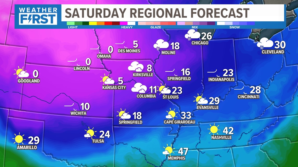
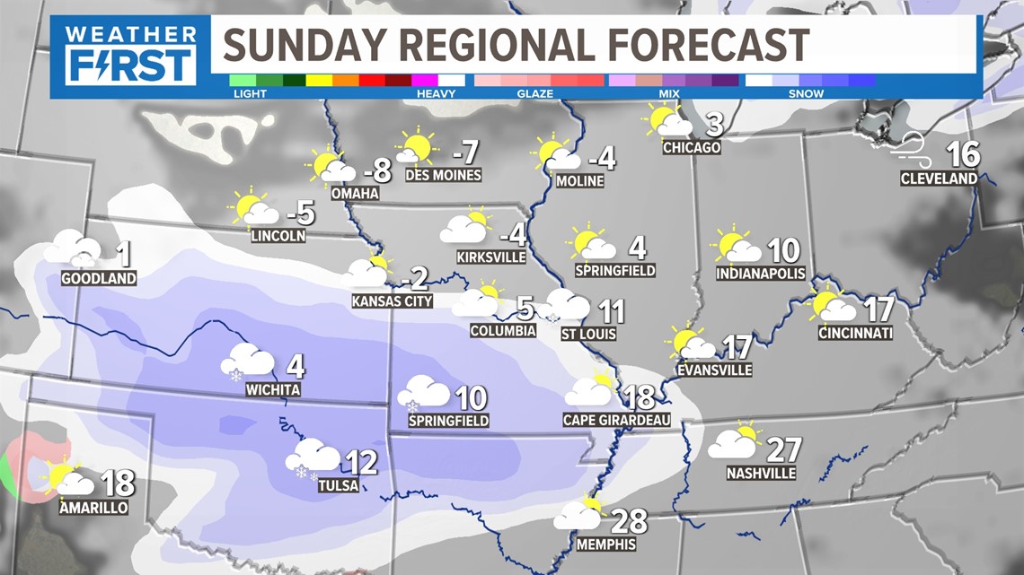
Behind Friday's strong winter storm the bitterly cold, Arctic air lasts all weekend and it continues through at least next week.

Another round of light snow is possible later Sunday well south of St. Louis in our southern counties, and with temperatures well below freezing, light fluffy snow could cause some icy spots on untreated surfaces Sunday night.

Download the free 5 On Your Side app to get the latest watches and warnings and track conditions live with our interactive radar. Use the links below to download now.
5 On Your Side news app
iPhone | Google Play
The Weather First Team will use "Storm Alert" to refer to life-threatening or major-impact weather conditions in our region. "Weather Alert" refers to nuisance or disruptive weather and is indicated by orange icons and bars in our weather graphics on TV and online.
In Missouri, we serve these counties: Crawford County, Franklin County, Gasconade County, Iron County, Jefferson County, Lincoln County, Madison County, Perry County, Phelps County, Pike County, Reynolds County, St. Charles County, St. Francois County, St. Louis City, St. Louis County, Ste. Genevieve County, Warren County and Washington County.
In Illinois, we serve these counties: Bond County, Calhoun County, Clay County, Clinton County, Fayette County, Greene County, Jefferson County, Jersey County, Macoupin County, Madison County, Marion County, Monroe County, Montgomery County, Randolph County, St. Clair County and Washington County.