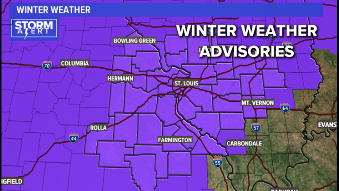
ST. LOUIS — Winter weather advisories have been issued by the National Weather Service for the entire 5 On Your Side area.


Areas to our west and south have already had a quick dusting of sleet and snow.
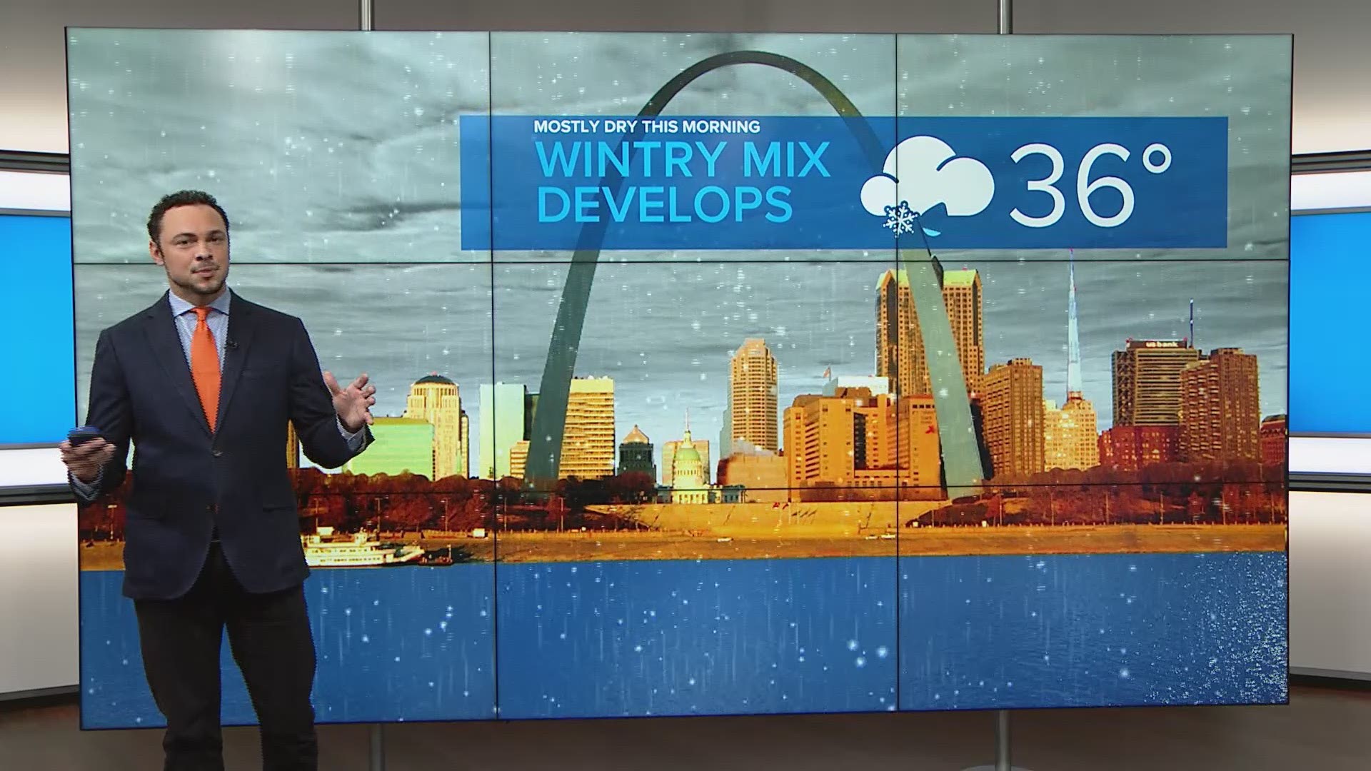
Closer into the immediate St. Louis metro area, the snow and sleet are expected to begin late morning toward lunchtime. It will be toward the early afternoon areas farther east and northeast of St. Louis when the snow and sleet begin.


The sleet will mix with freezing rain during the early afternoon and eventually transition to all freezing rain during the evening rush hour. Up to two-tenths of an inch of ice may accumulate on elevated and untreated surfaces through the afternoon.


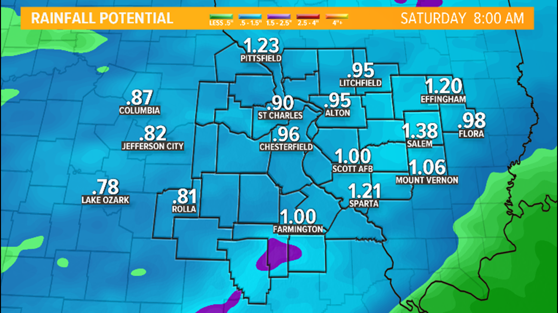
As temperatures warm above freezing from southwest to northeast, the freezing rain will change to all rain after the evening rush hour and that will continue into early Saturday morning. Locally, more than an inch of rain will fall. A flood watch has been issued for our area as the ground is saturated from last week's heavy rain.


Saturday will turn windy and colder. Morning temperatures will be in the 40s but drop dramatically during the late afternoon back into the 30s. By Sunday morning, temperatures will be in the teens and it will stay could through Martin Luther King, Jr. Day on Monday with highs only in the 20s.
RELATED: Live interactive radar
Download the free 5 On Your Side app to get the latest watches and warnings and track conditions live with our interactive radar. Use the links below to download now.
5 On Your Side news app
iPhone | Google Play

