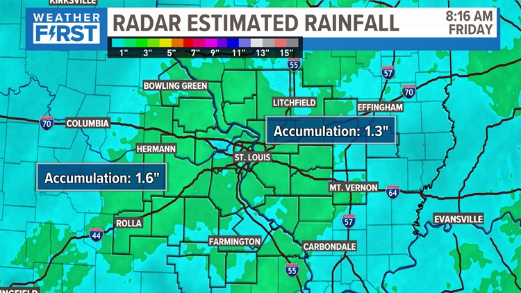
ST. LOUIS — We are finally seeing a little bit of a dry period after four straight days of rain. The rain was welcomed in most of the area, but it's been foggy and damp for the last few days.
St. Louis had 1.92 inches of rain since Monday.

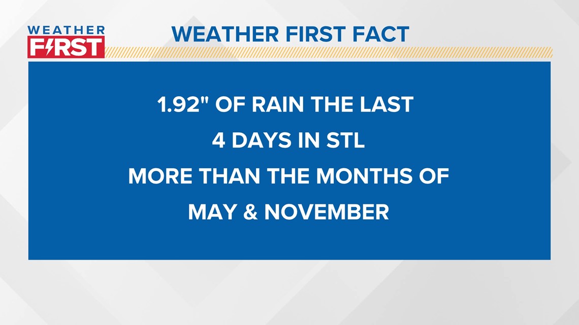
It had been mentioned pretty frequently throughout the last few months, but our drought has been pretty consistent. One of the main factors in the drought was the consecutive timeframe when we didn't receive much rainfall during the hottest months with the highest sun angle. But it has been SO DRY at times, that the rain we got the last 4 days was more than in May and November 2023 combined.

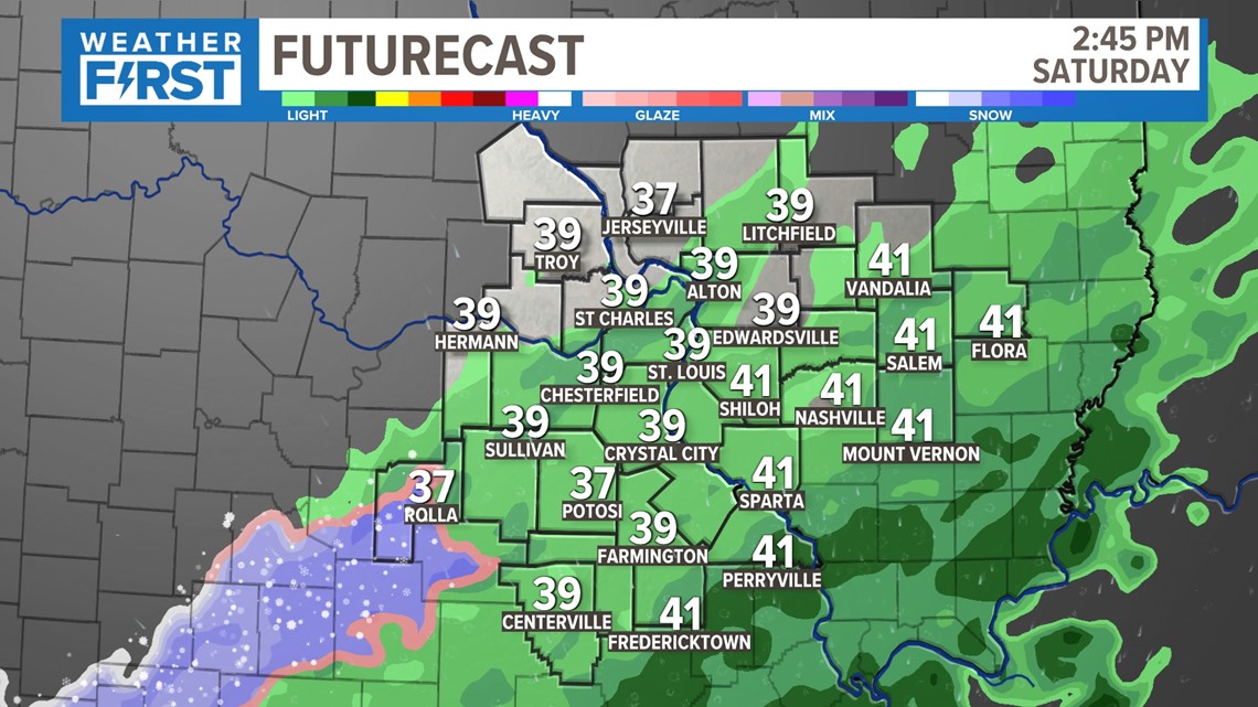
We will see another light dose of rain on Saturday, as temperatures fall just a little bit. While a few flakes of snow mix in briefly to the southwest, this won't really be something that is an issue.
Another 0.10"- 0.25" is possible on Saturday, and then we finally dry out for a few days.

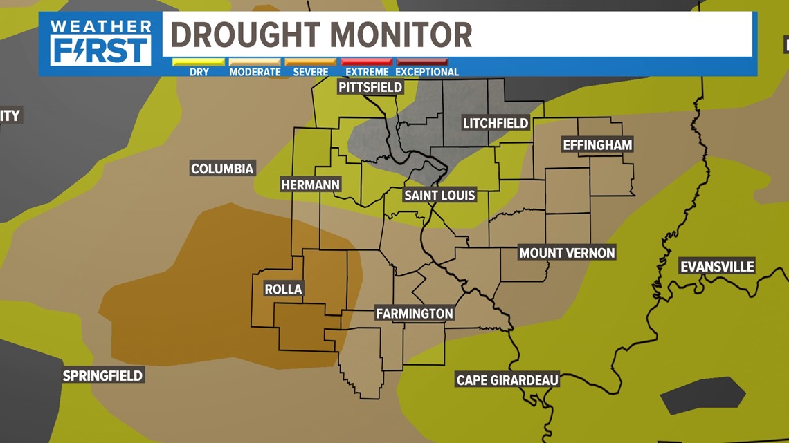
Our most recent drought monitor came out on Thursday. It has many areas completely drought-free! But some areas are still in moderate and severe drought. It's important to note that the data collection ends on Tuesday, but this was posted on Thursday. I expect continued improvement on drought in the next update on Thursday. Considering we have started the month so far the 15th wettest on record, the last few days have been very good news heading into spring!

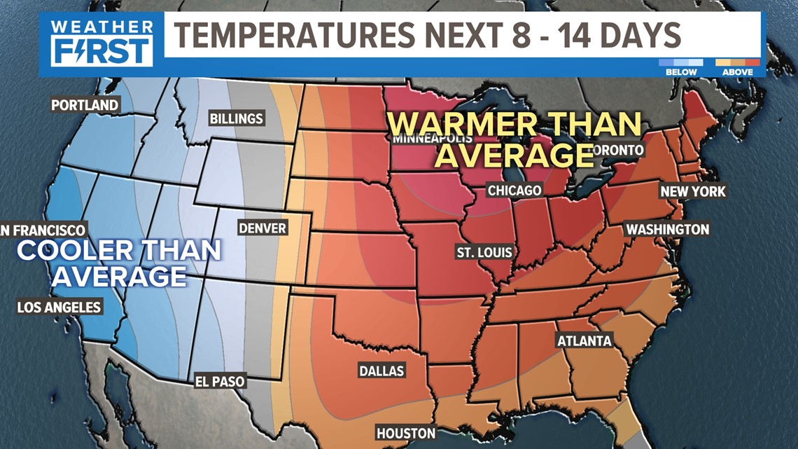
As for the next few days, there's a high likelihood that we're going to have above-average temperatures each afternoon through the first part of February.

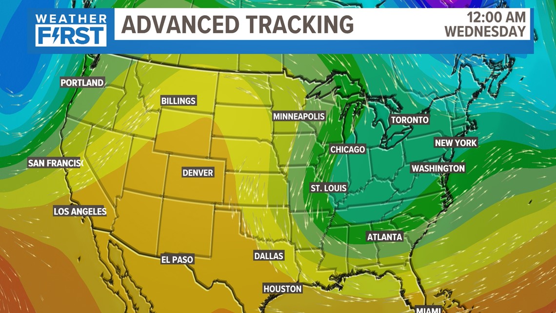
But it's important to remember that "normal" this time of the year is 40-43 degrees. While we will be above that most of the time, there were a few days that we were supposed to get close to 60 degrees. That will be put on hold briefly due to a "back door" cold front from the northeast. Still above average...but not quite as warm.


