ST. LOUIS — Rain chances have started to ramp up here and there the last few days. But with today's rain chances being mainly to our west, there will be some people that miss out on the rain completely....for now.

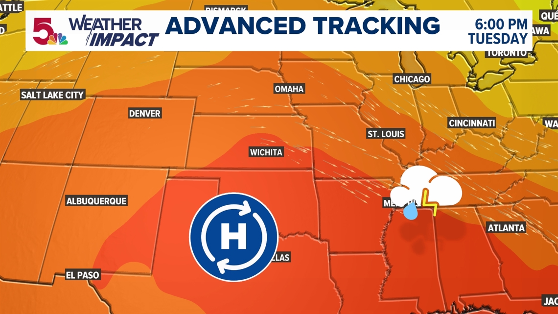
The big key feature for us this week will be the position of this high pressure, yet again. As we continue to see this core of dry, sinking air, the clockwise movement around it puts us on the periphery for storm movement. Depending on where these daily impulses move, locally heavy rain may be an issue at some point.

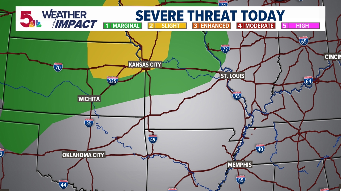

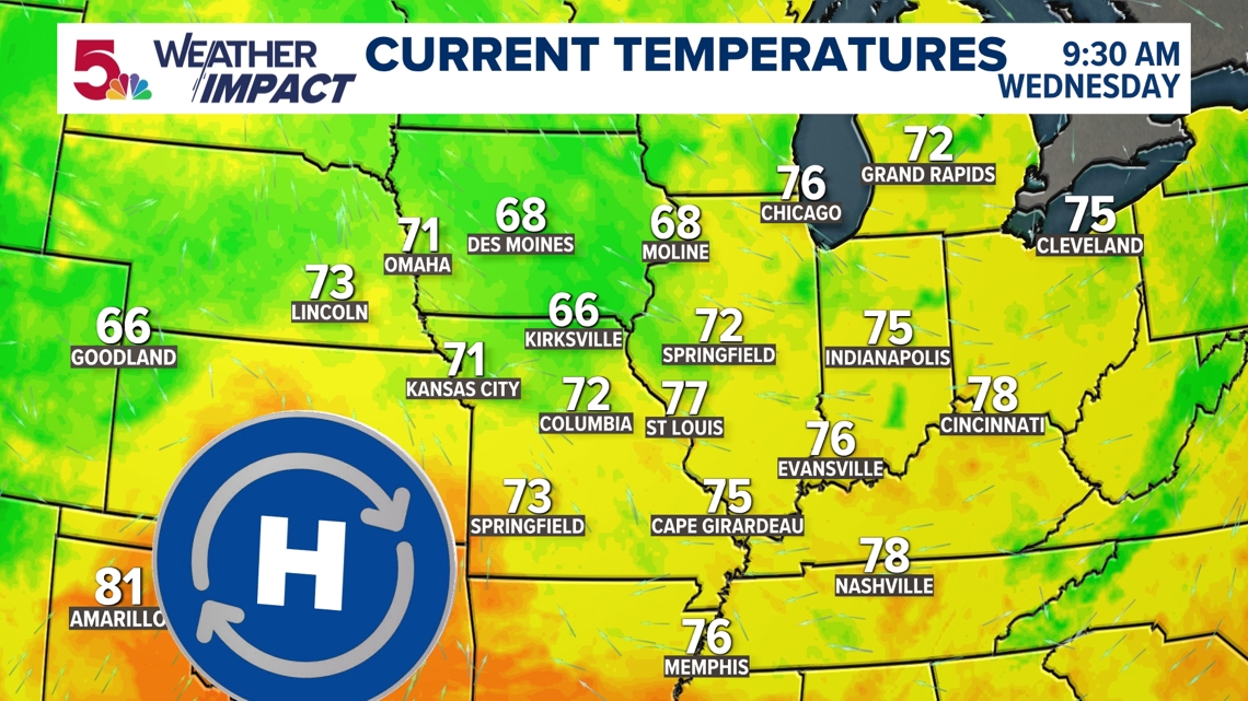
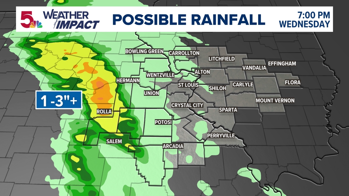
As we sit on the periphery of this high today, most of the rain stays completely west of us around the movement of this high pressure and a few of the disturbances that have developed around this feature.

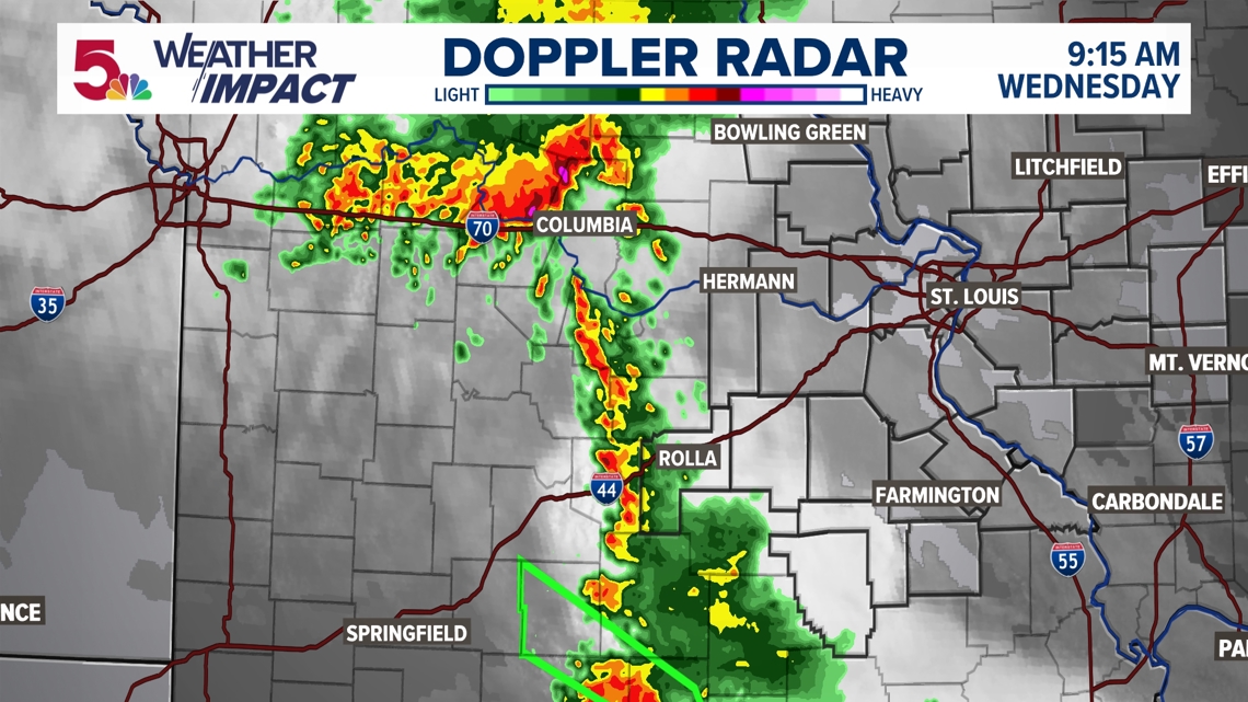
As a result of this, many of our area will get virtually no rainfall whatsoever. Others much further west of the 5 On Your Side viewing area will see 1-3" of rain possible by this afternoon!

If you miss out on the rain today, we'll have another opportunity on Thursday as well. But as we finally get out of this pattern, the chance for severe weather may increase, as welll. That's our next Weather Impact Alert Day.


